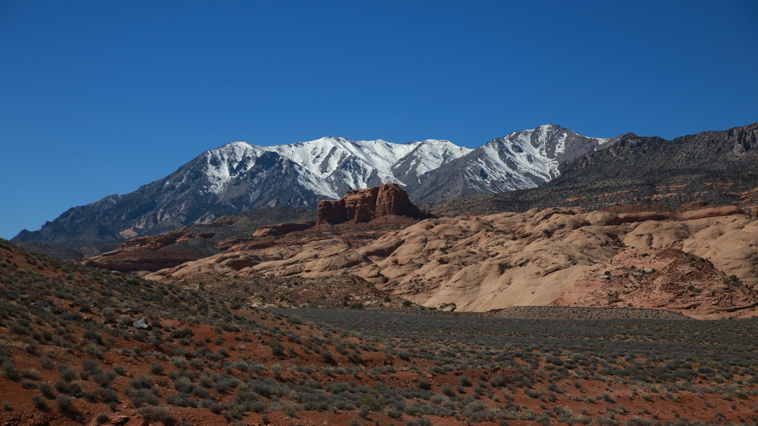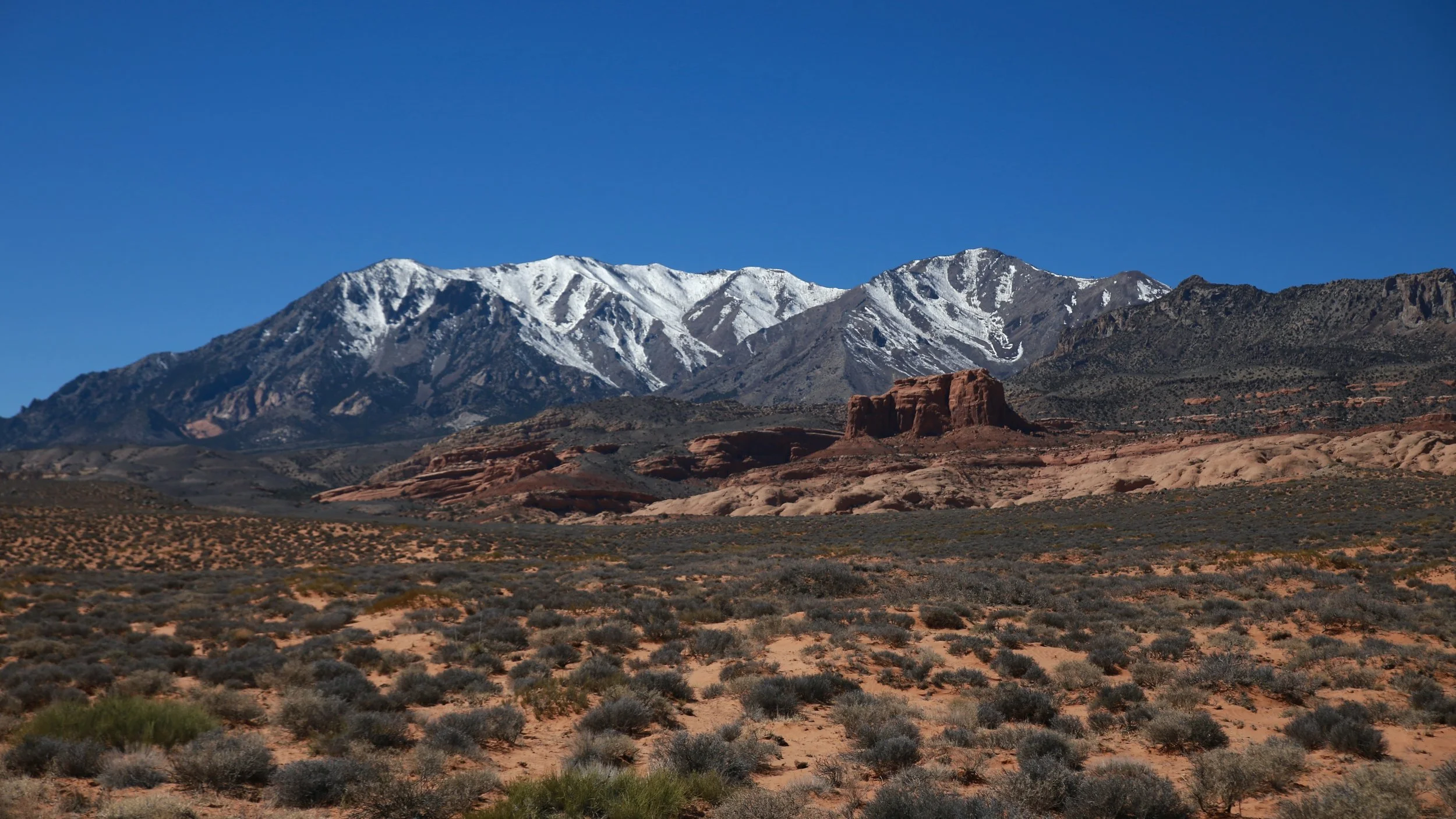
The Henry Mountains
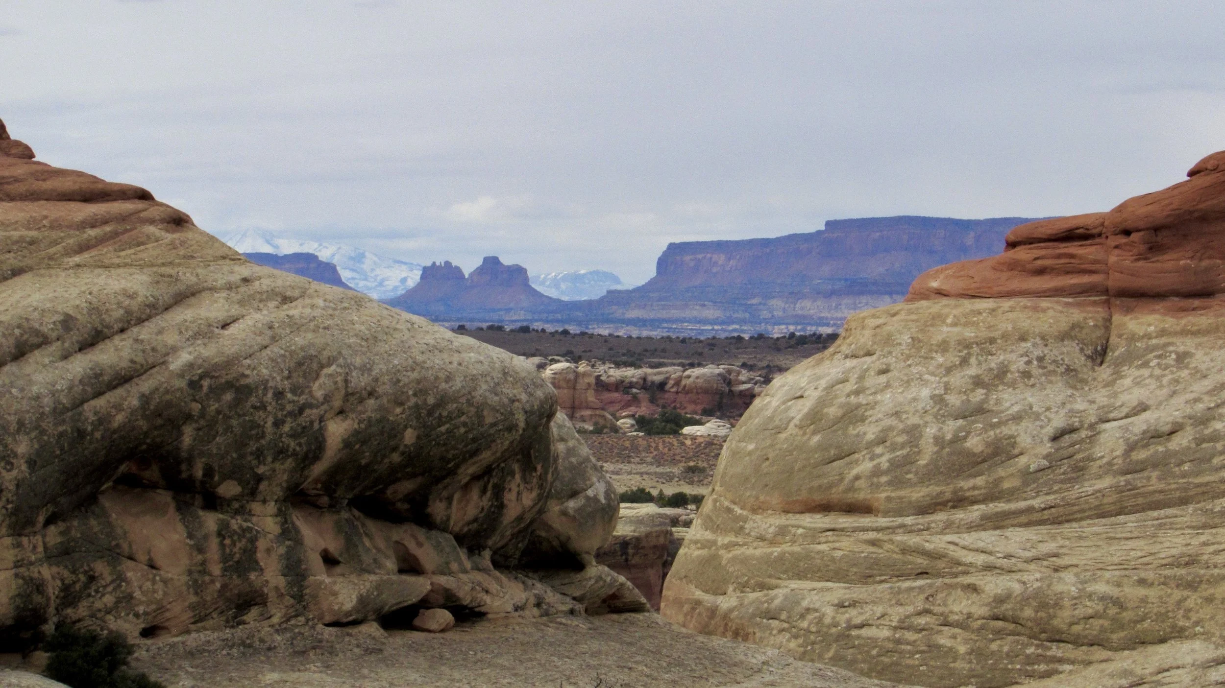
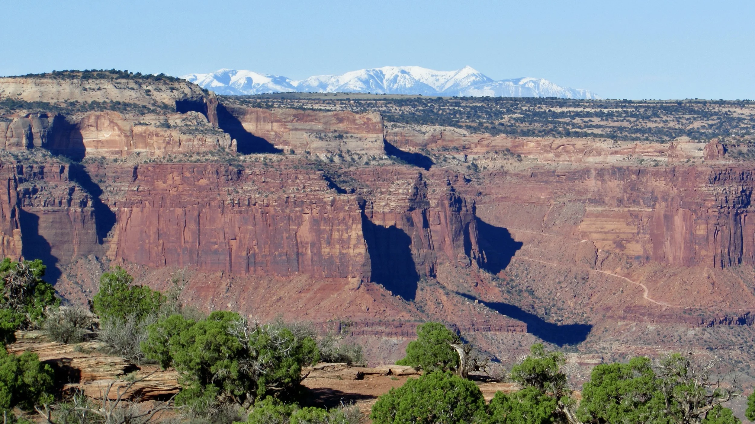
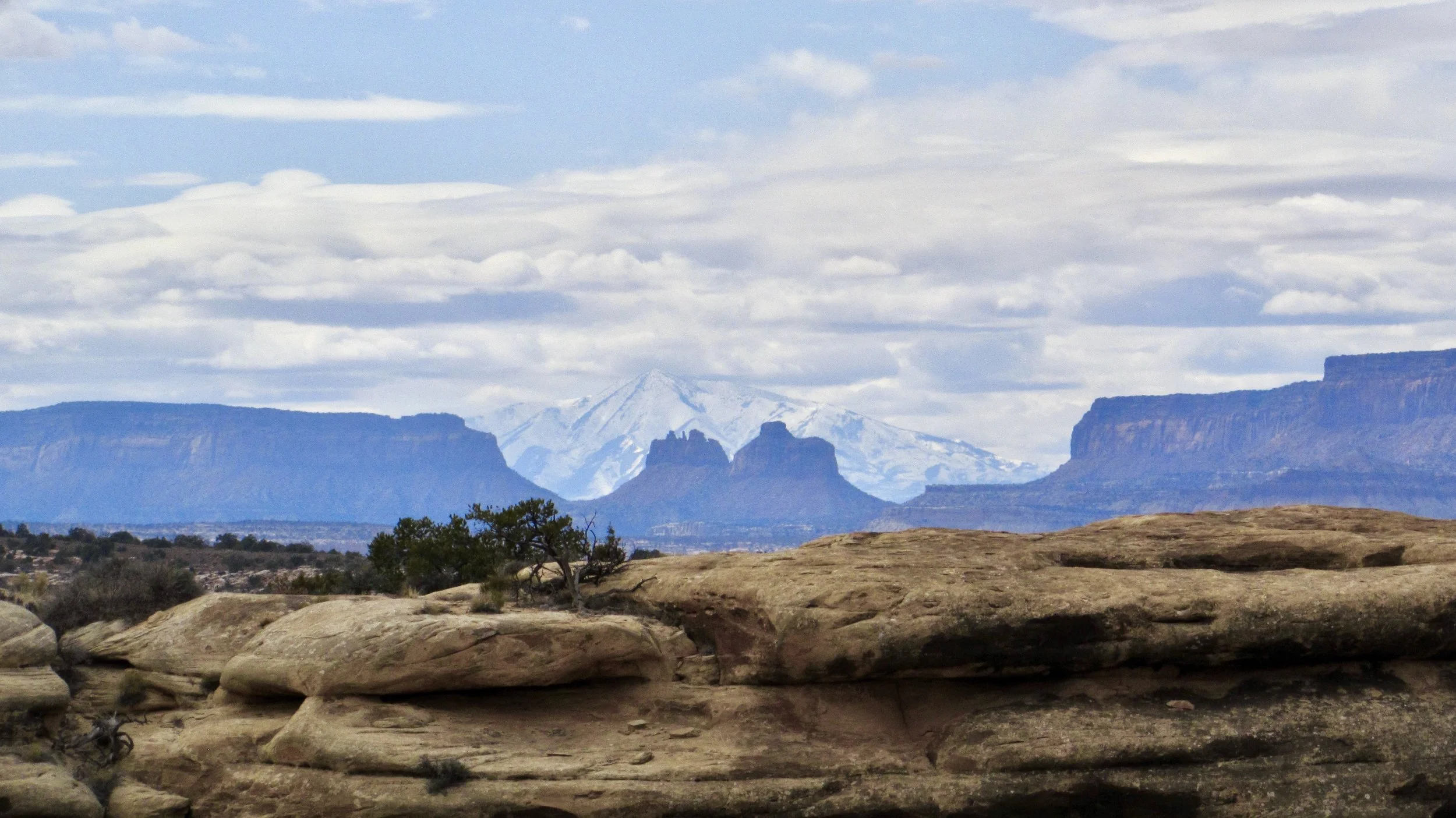
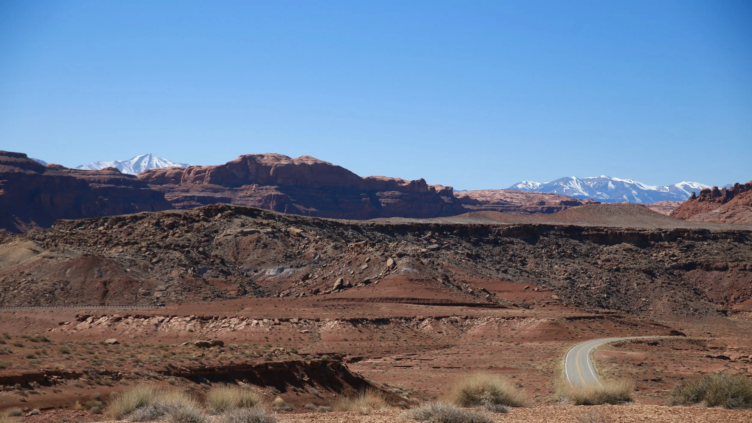
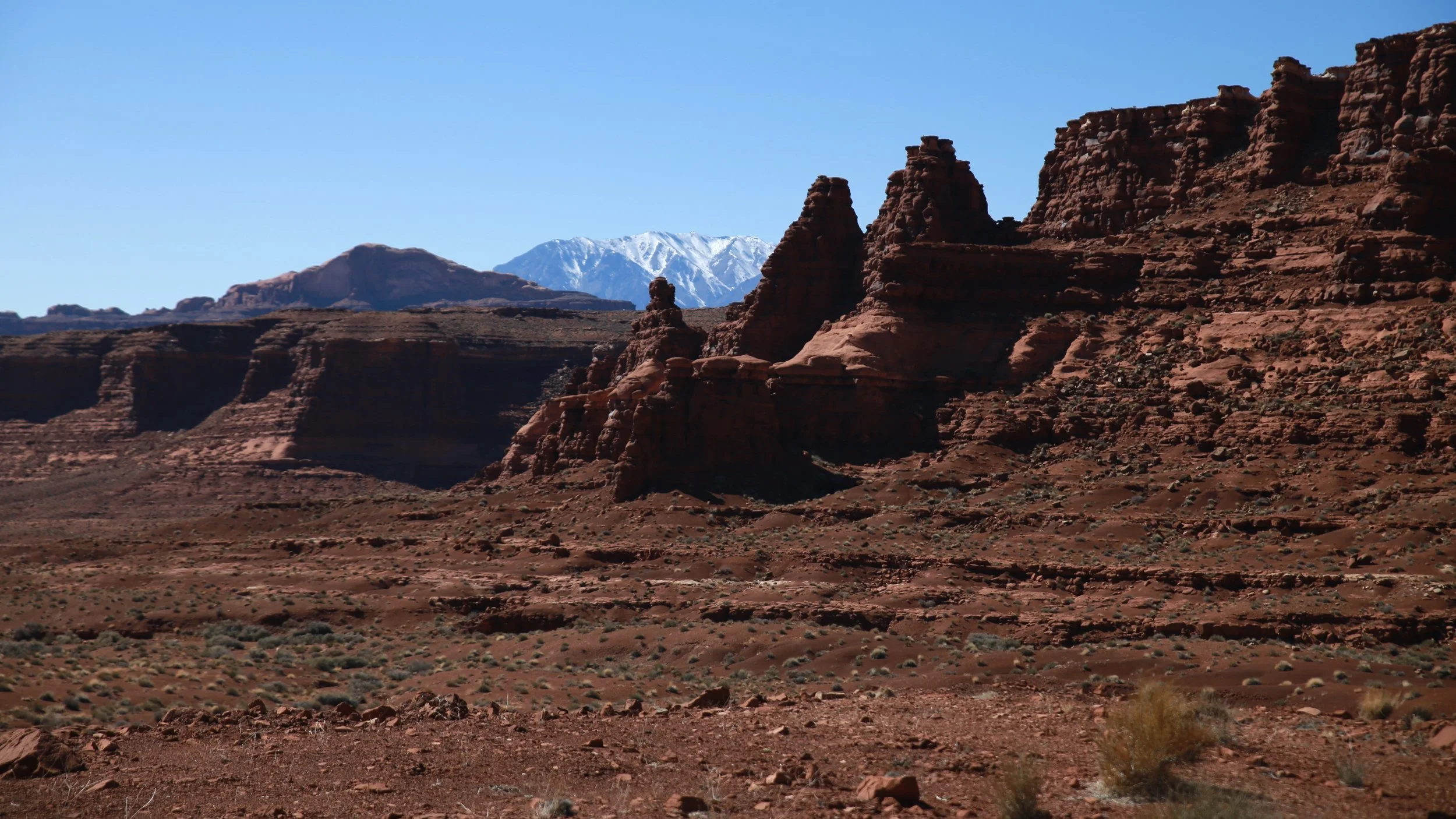
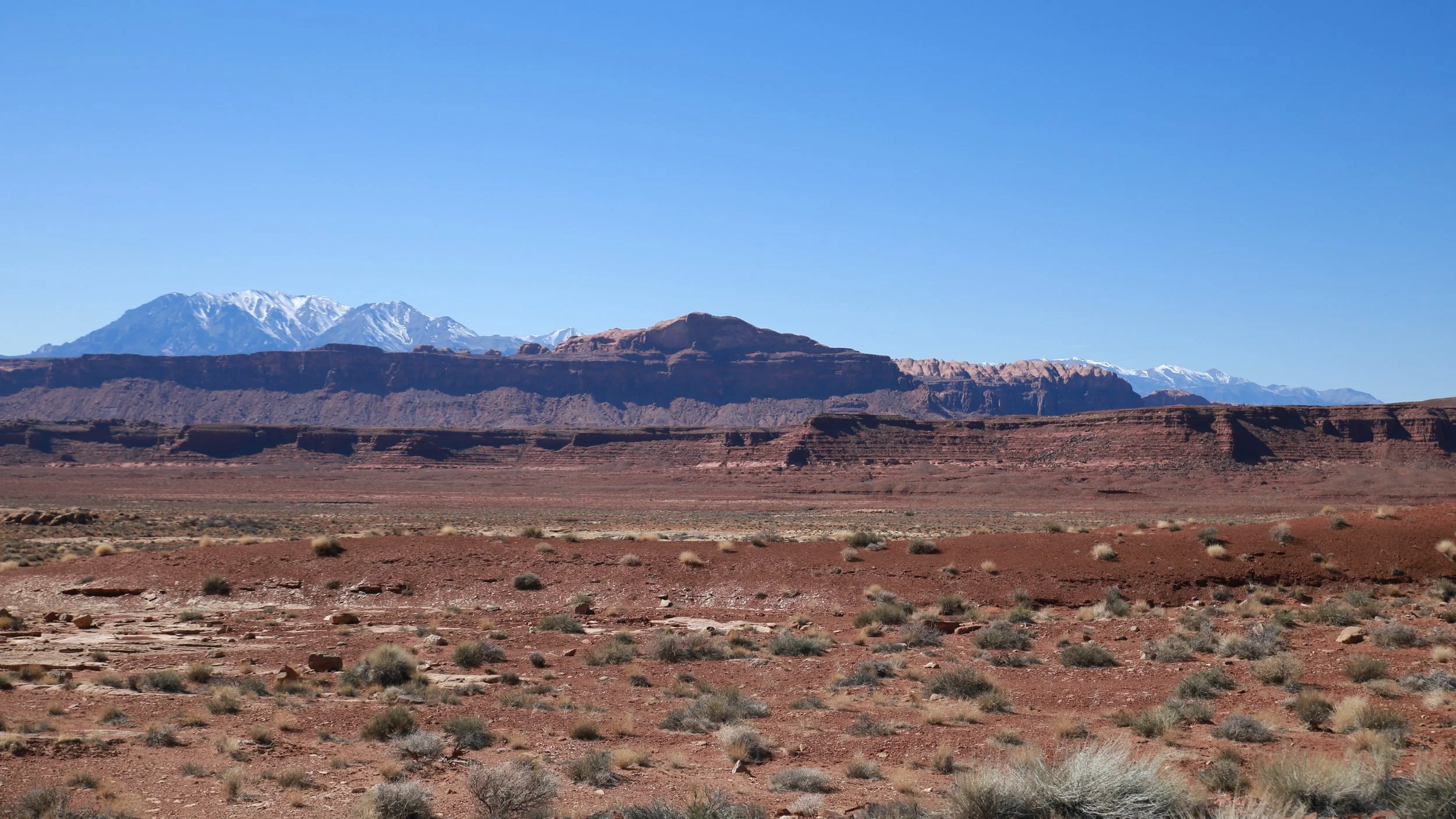
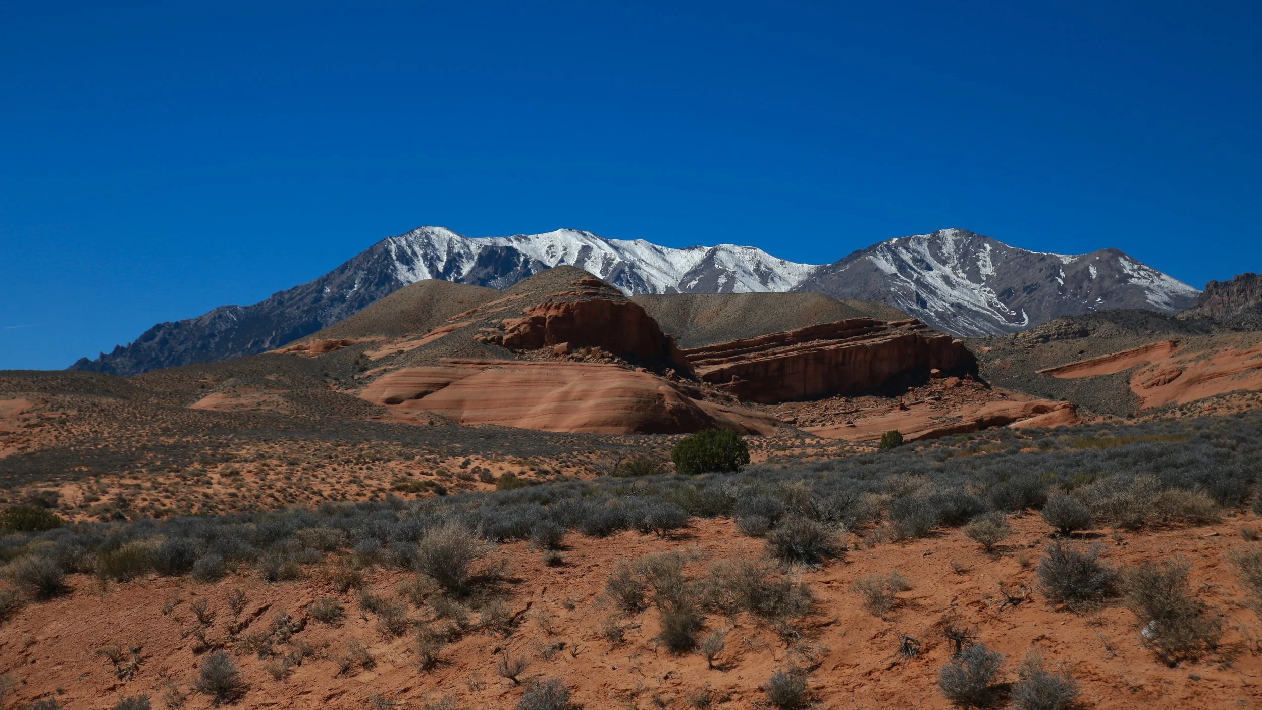
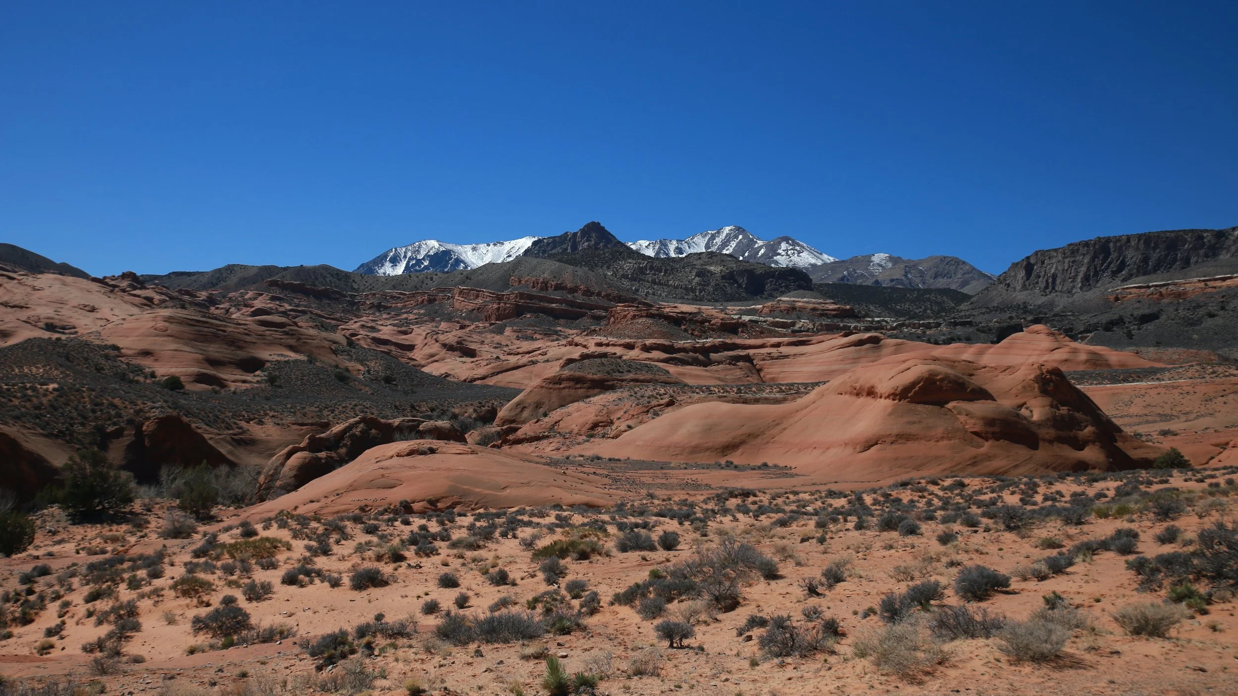
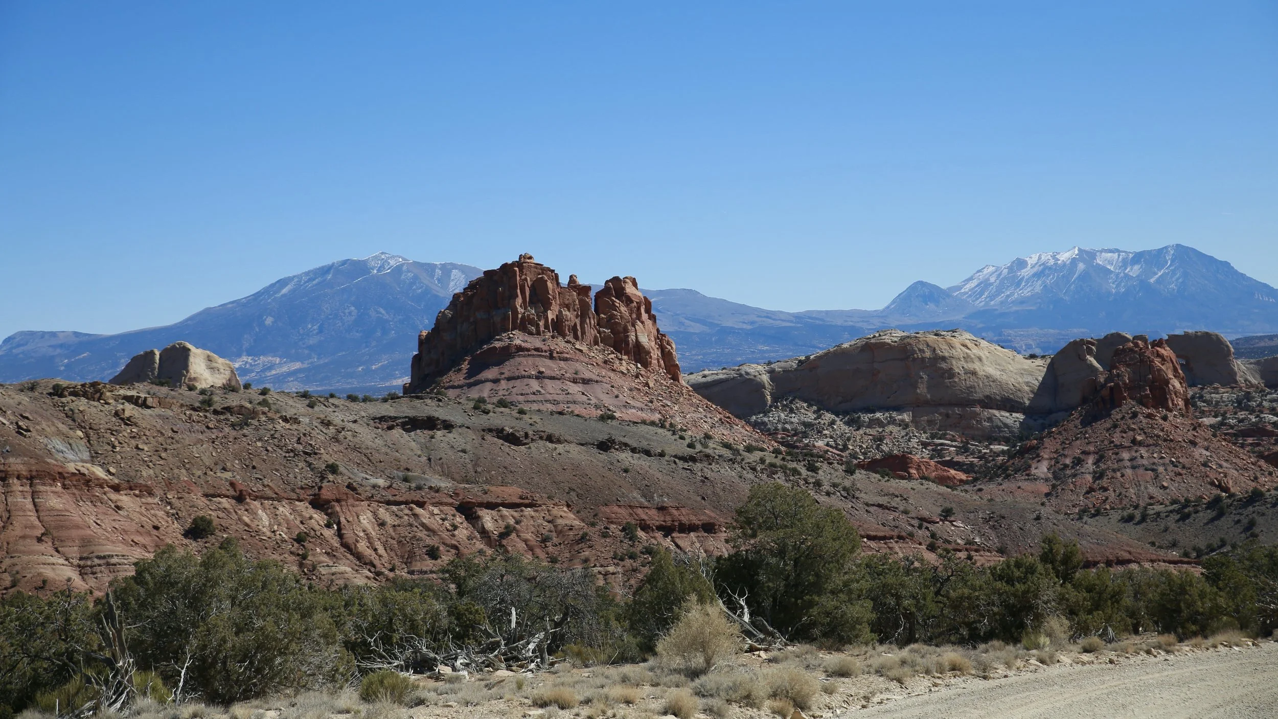
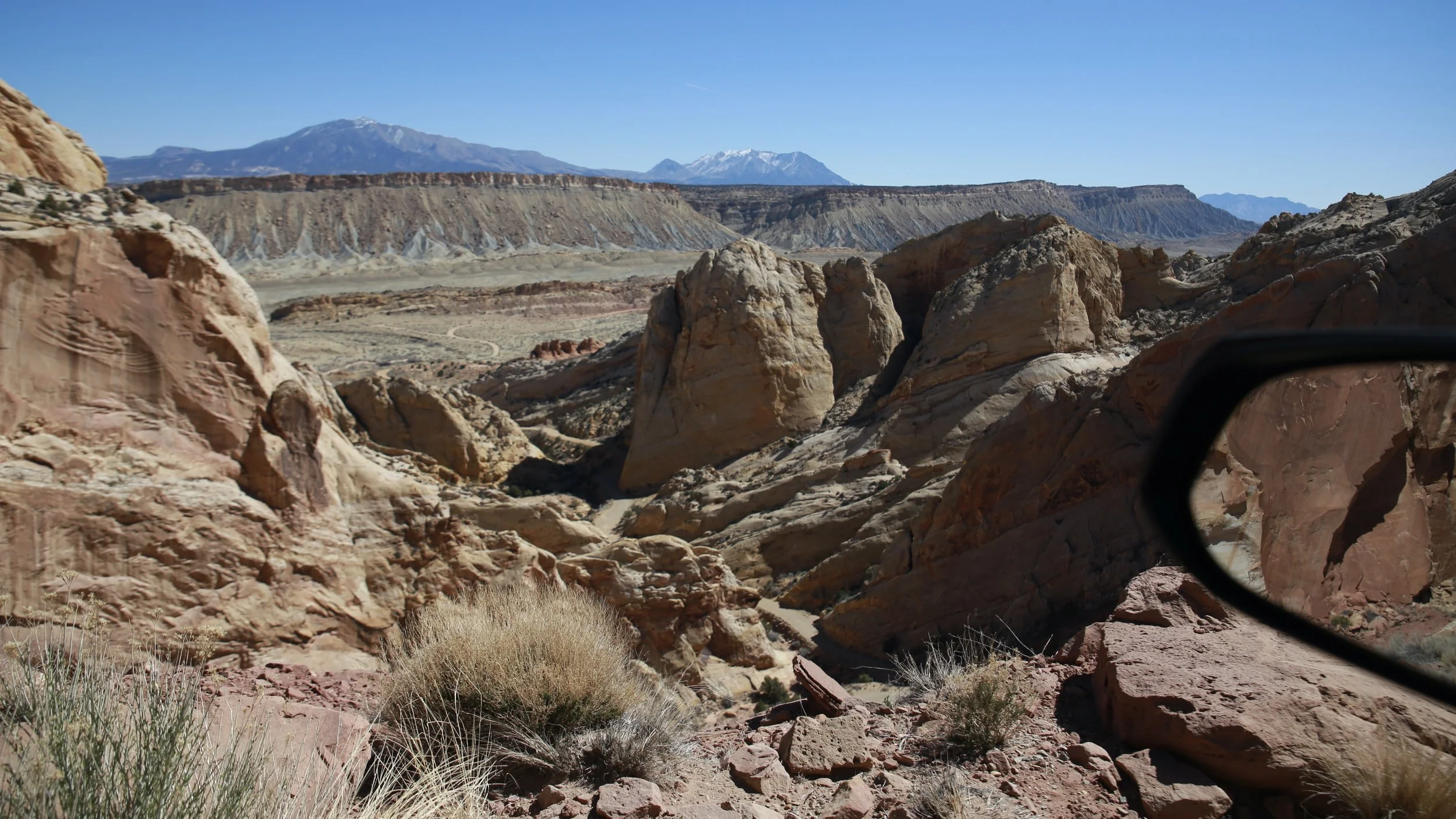
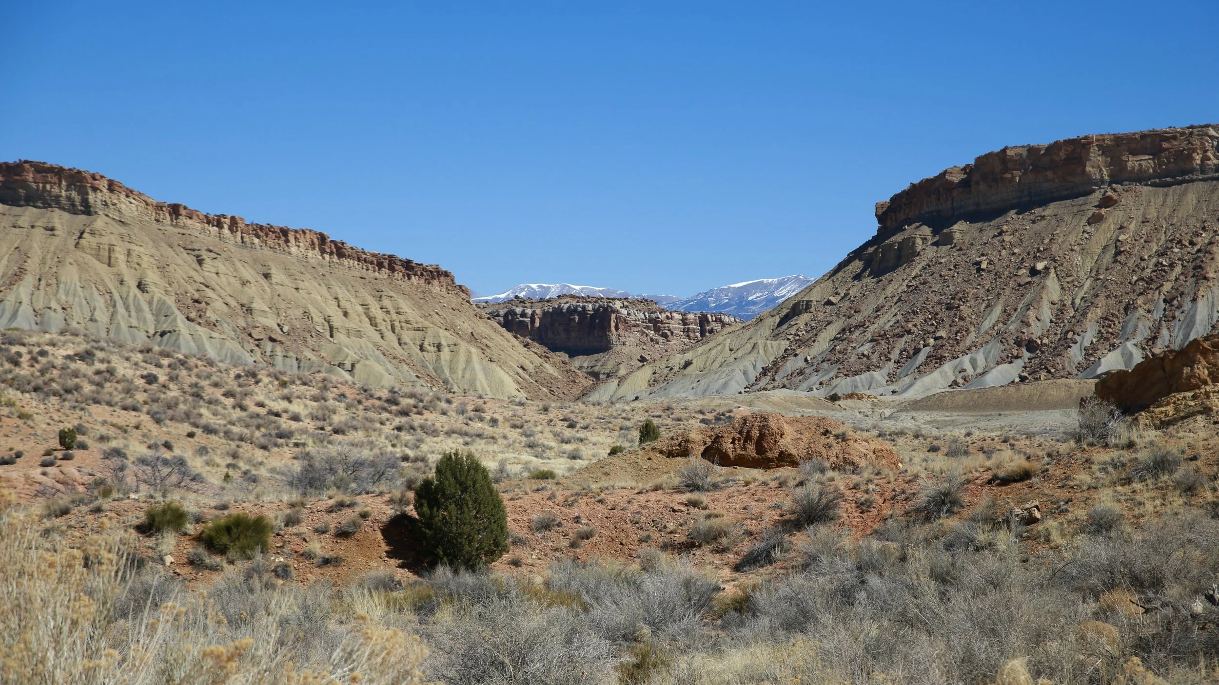
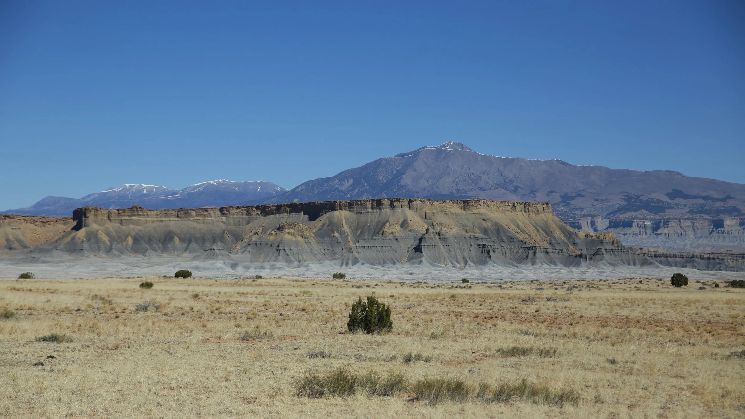
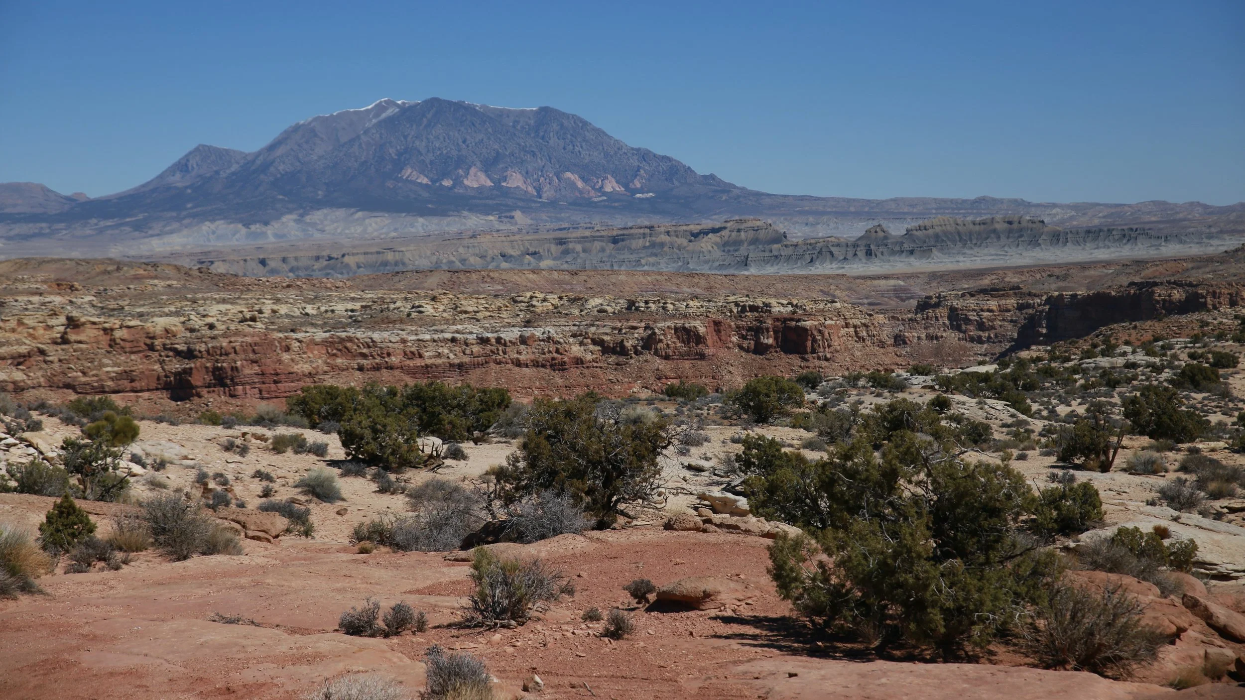
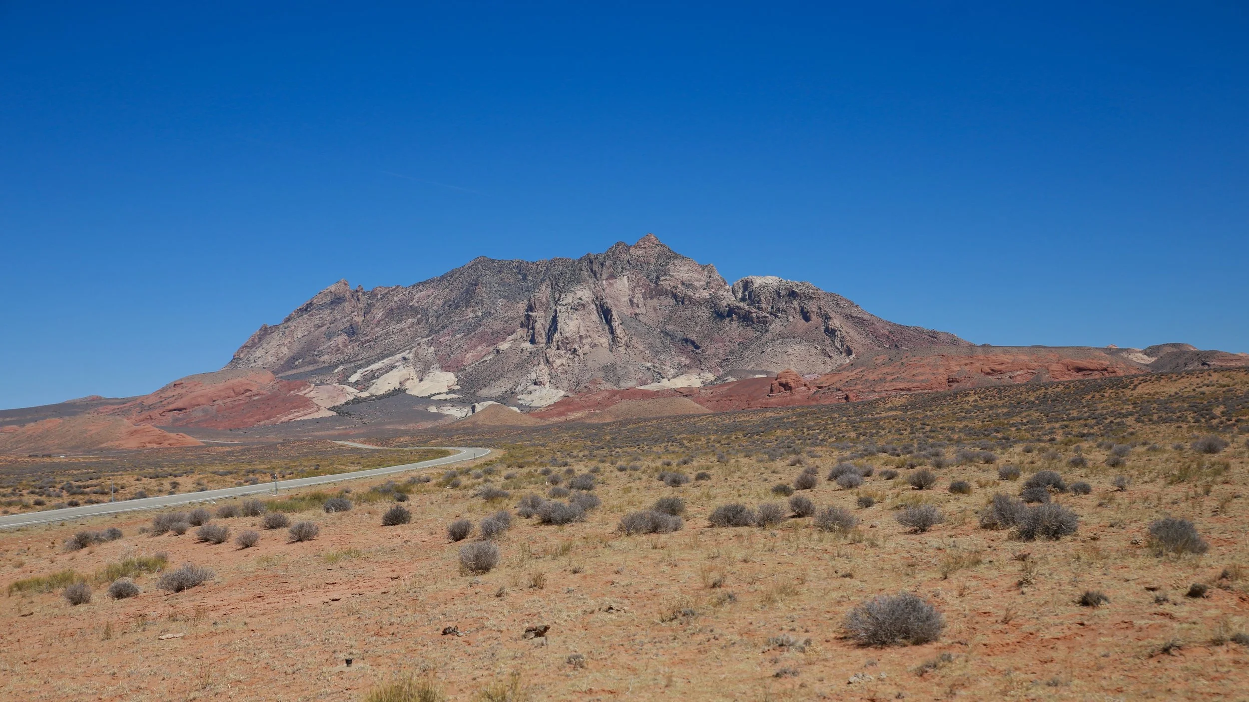
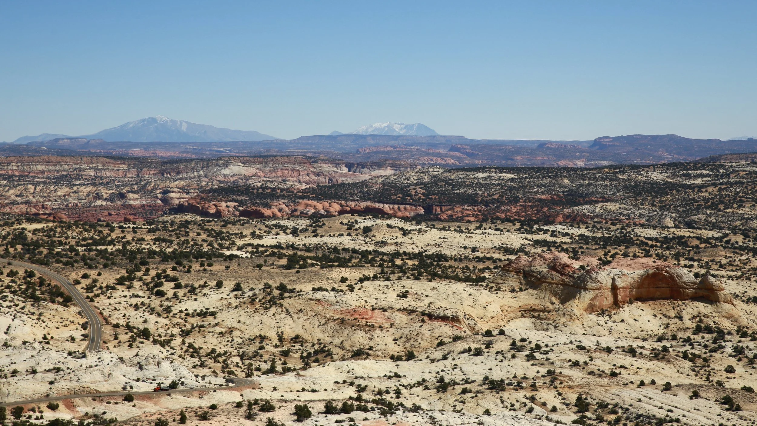
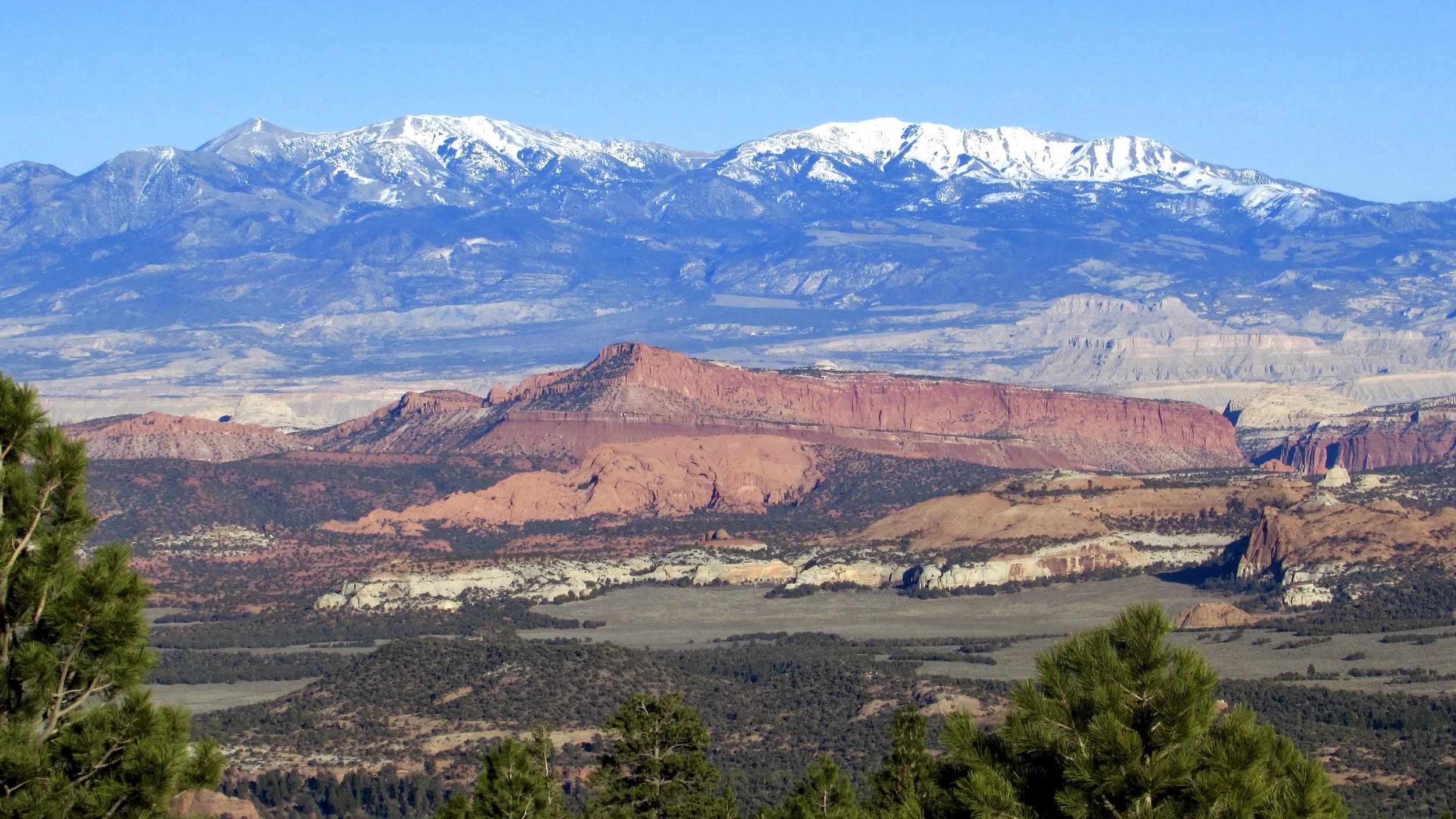
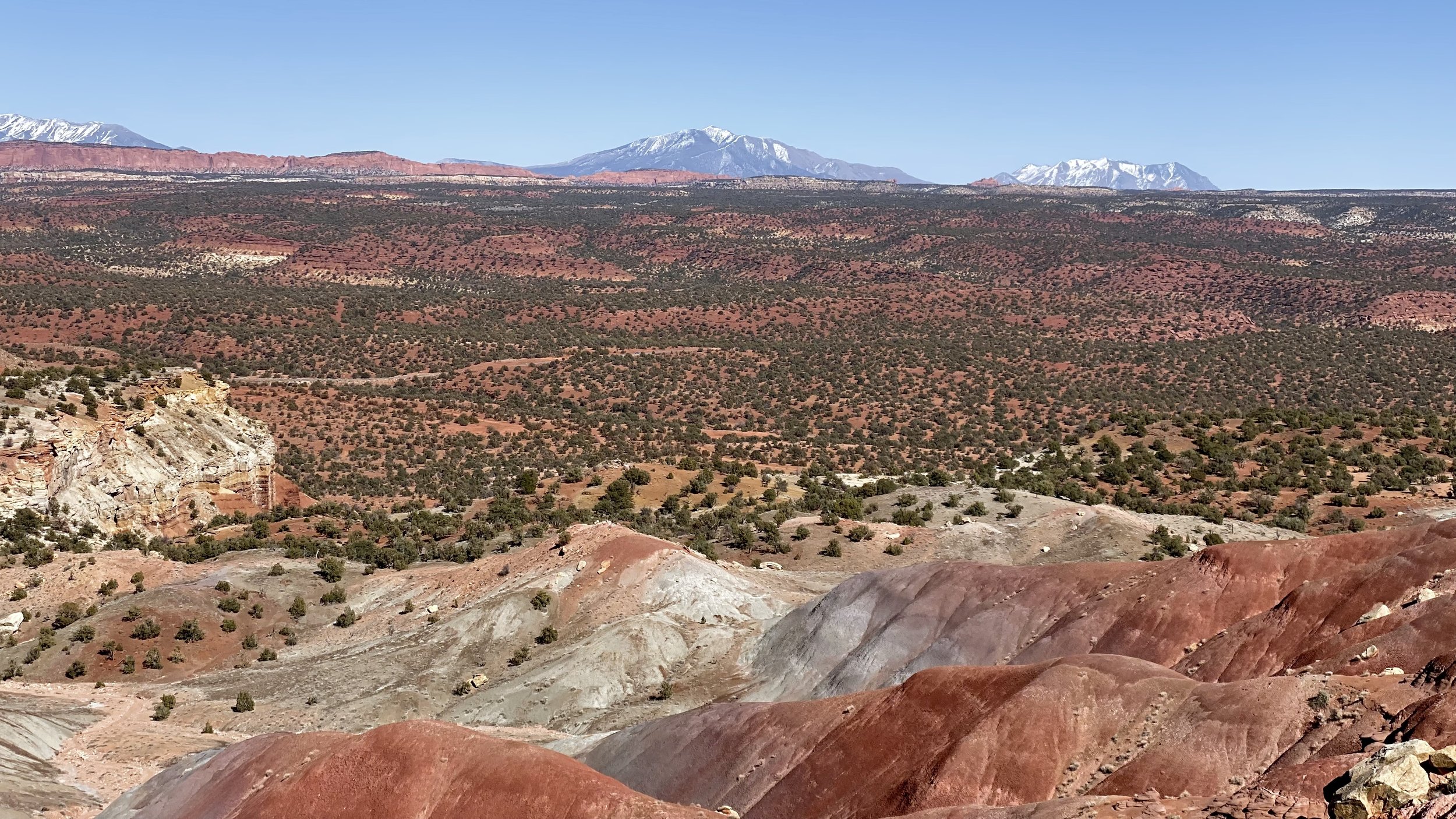
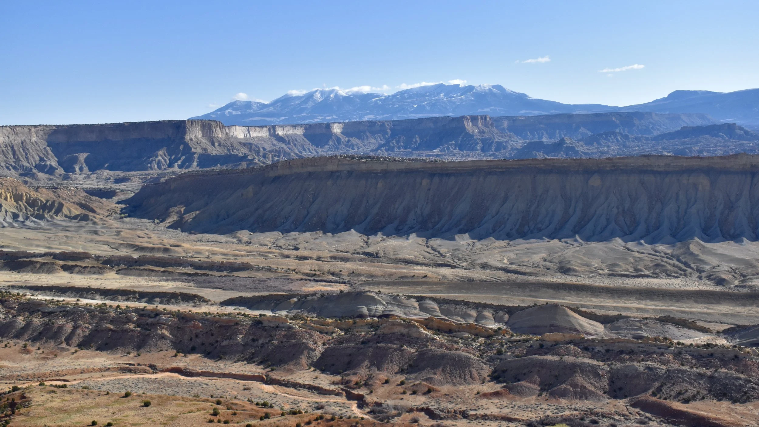
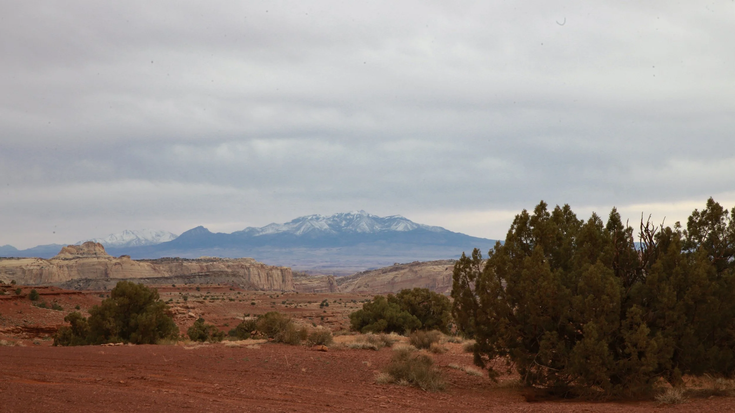
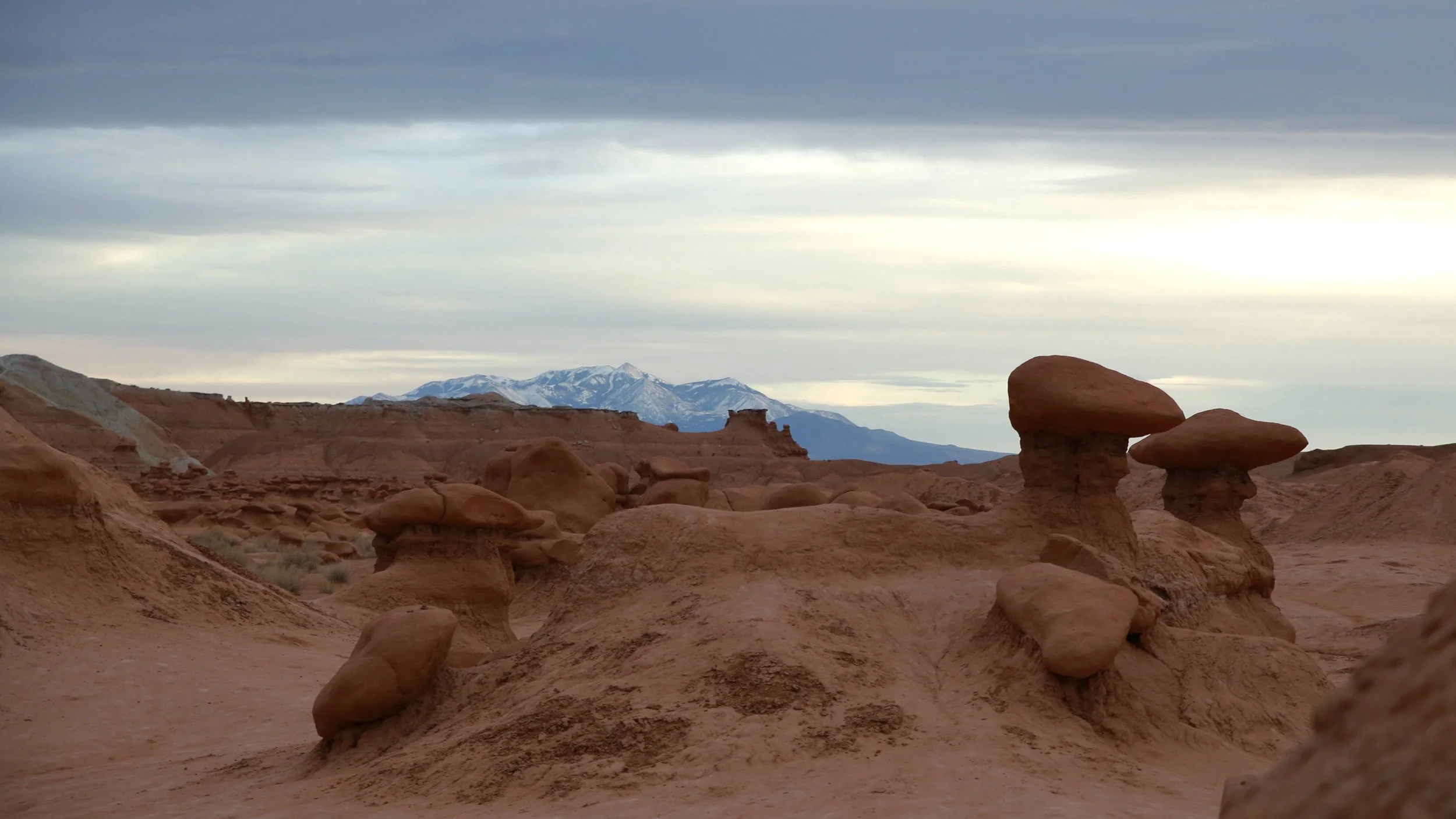
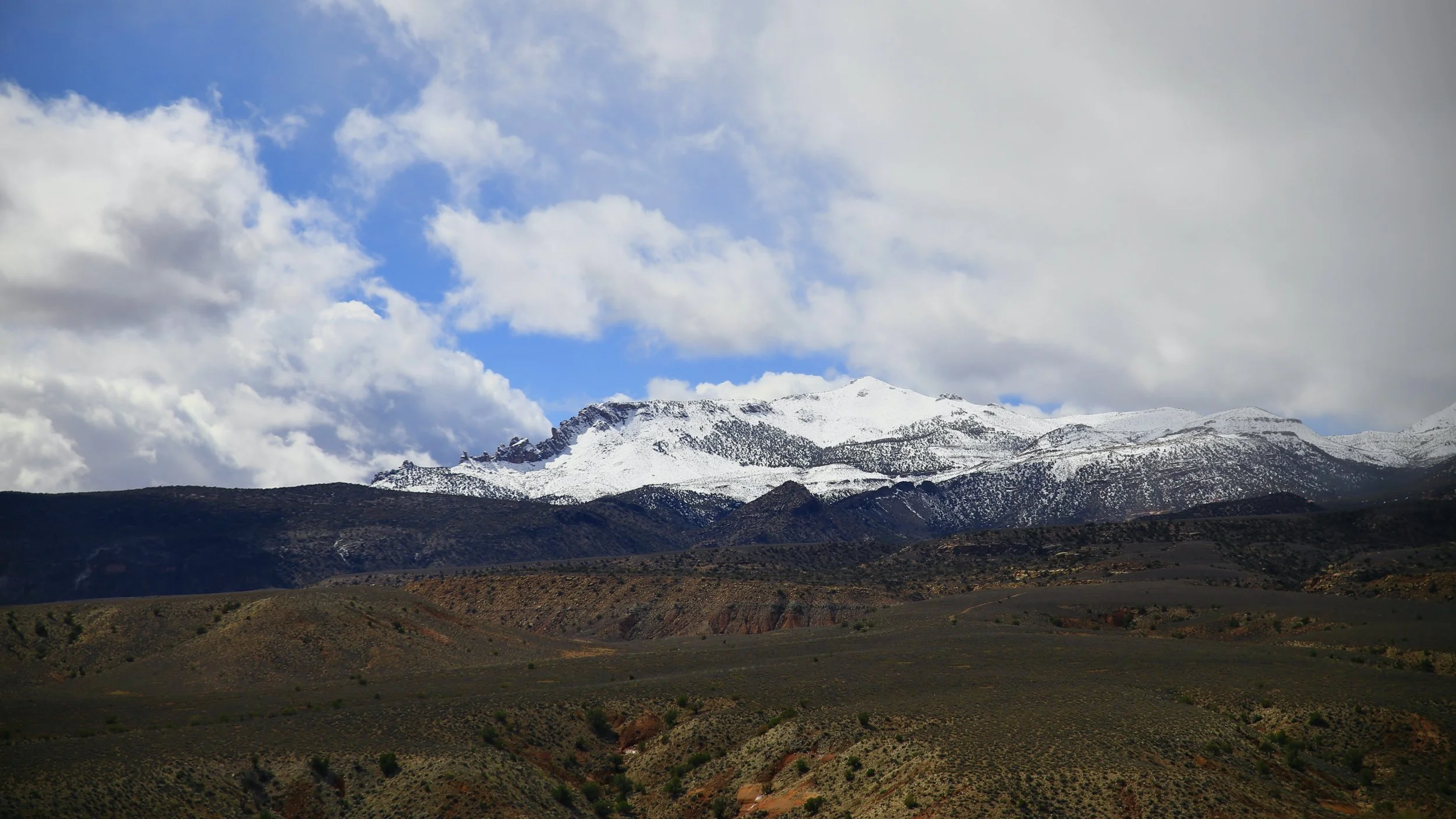
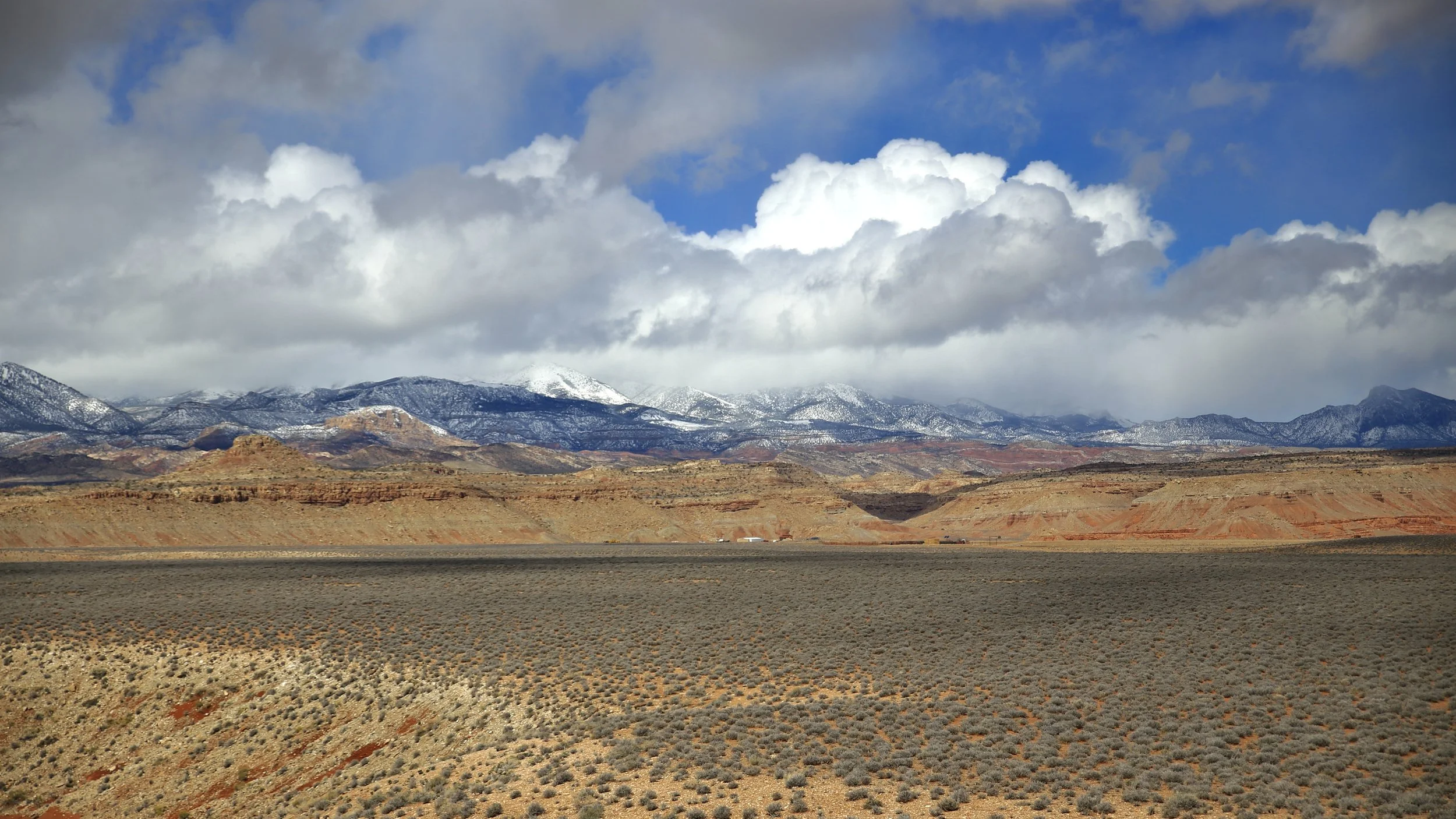
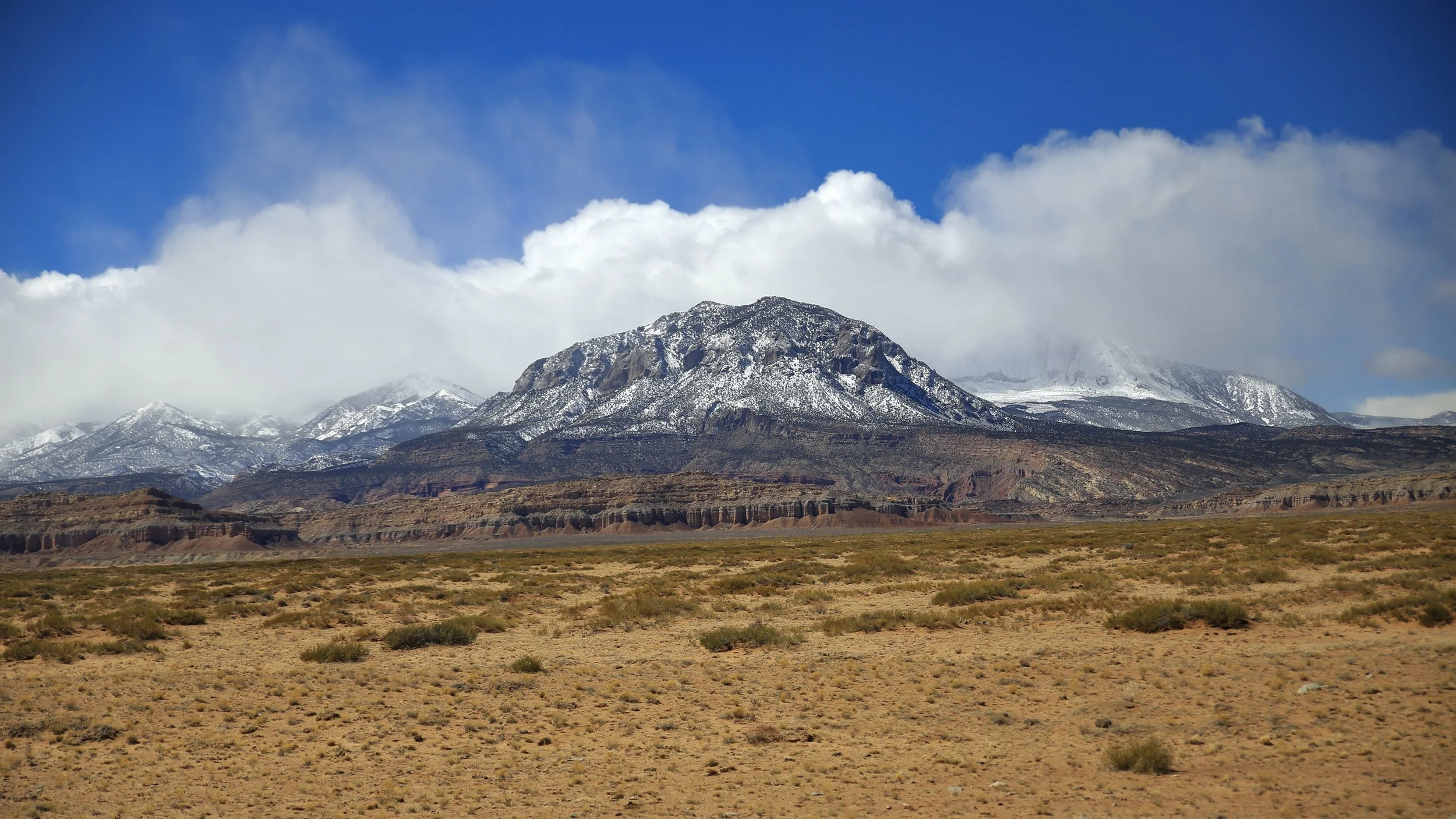
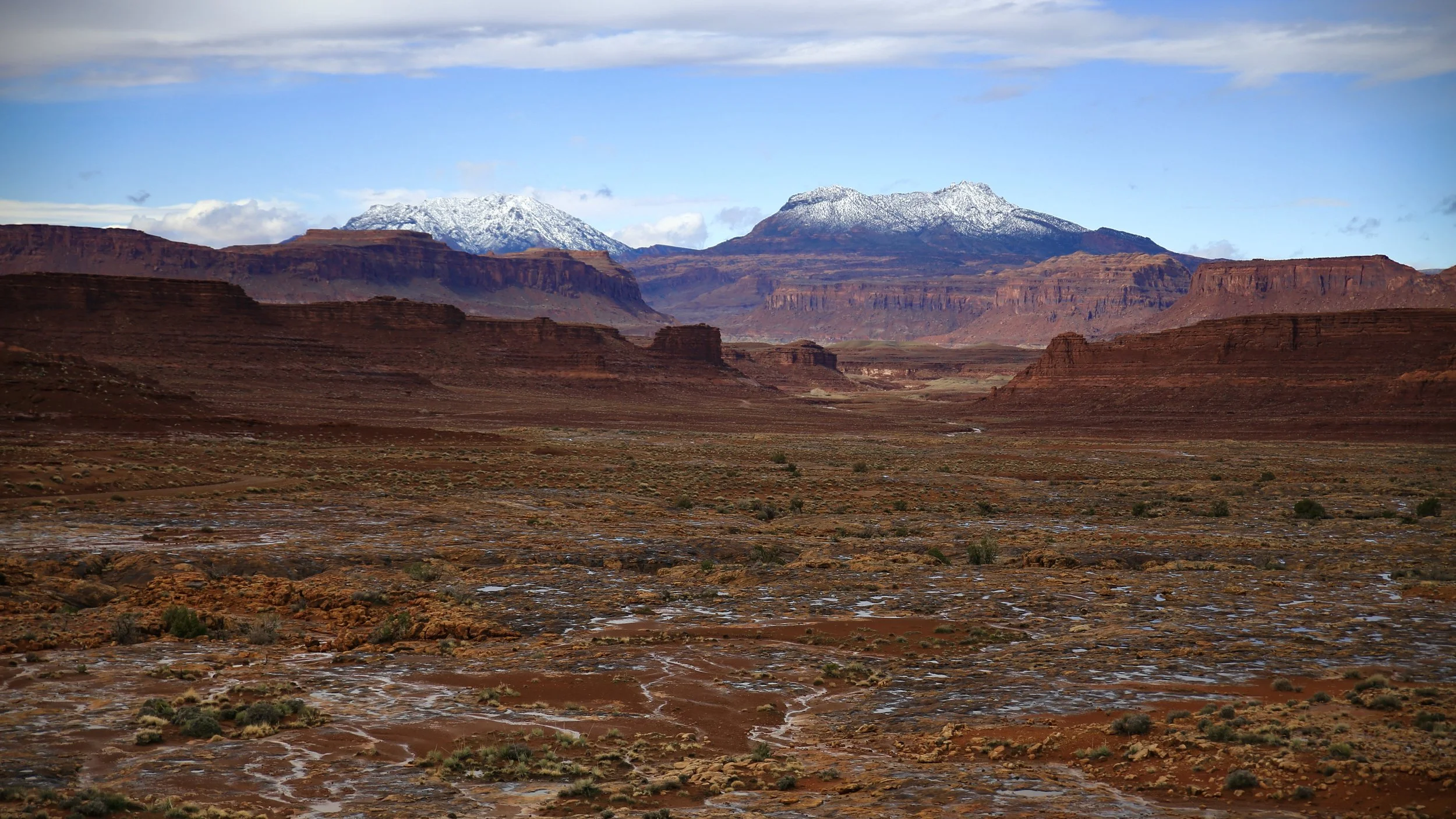
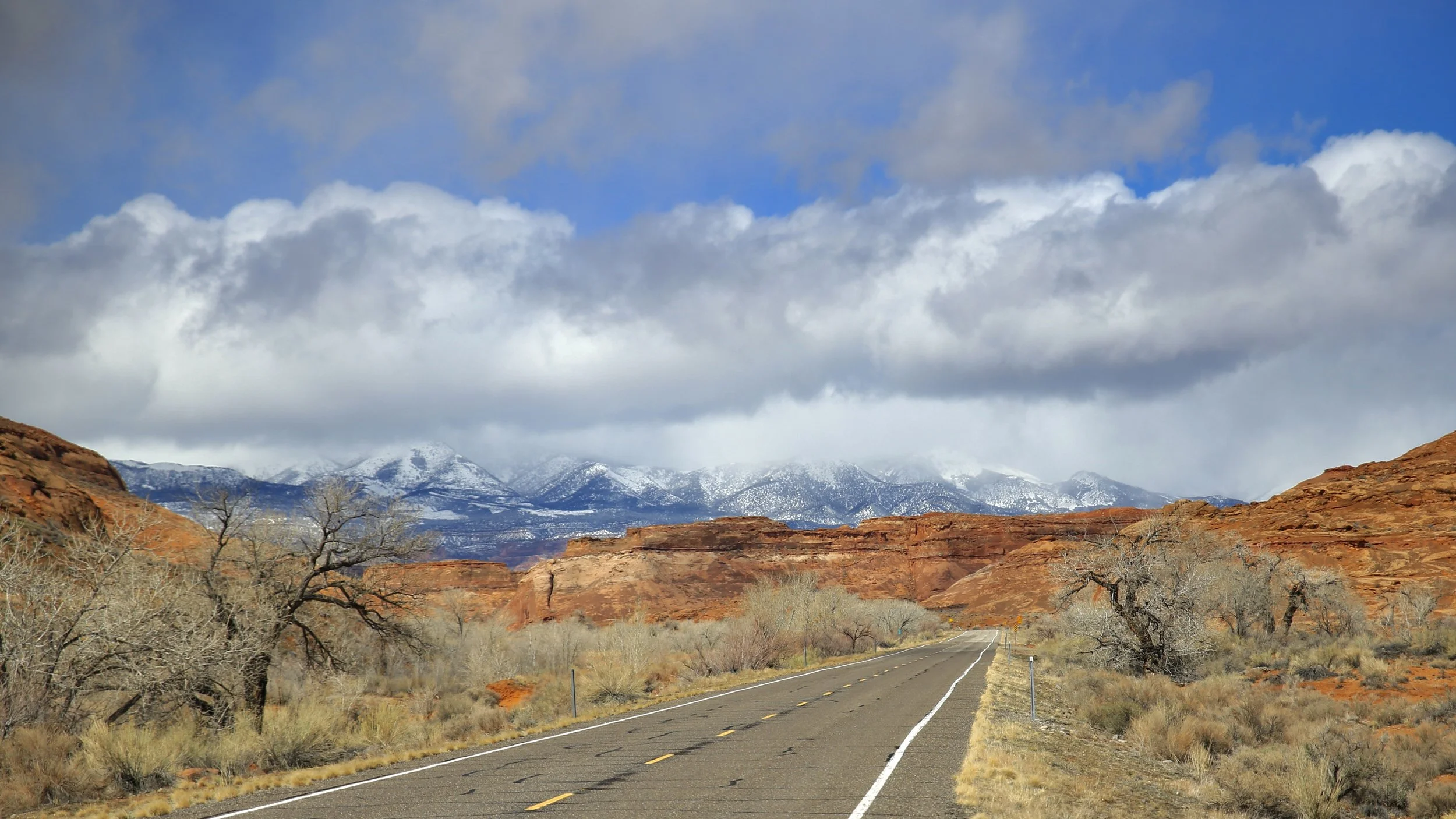
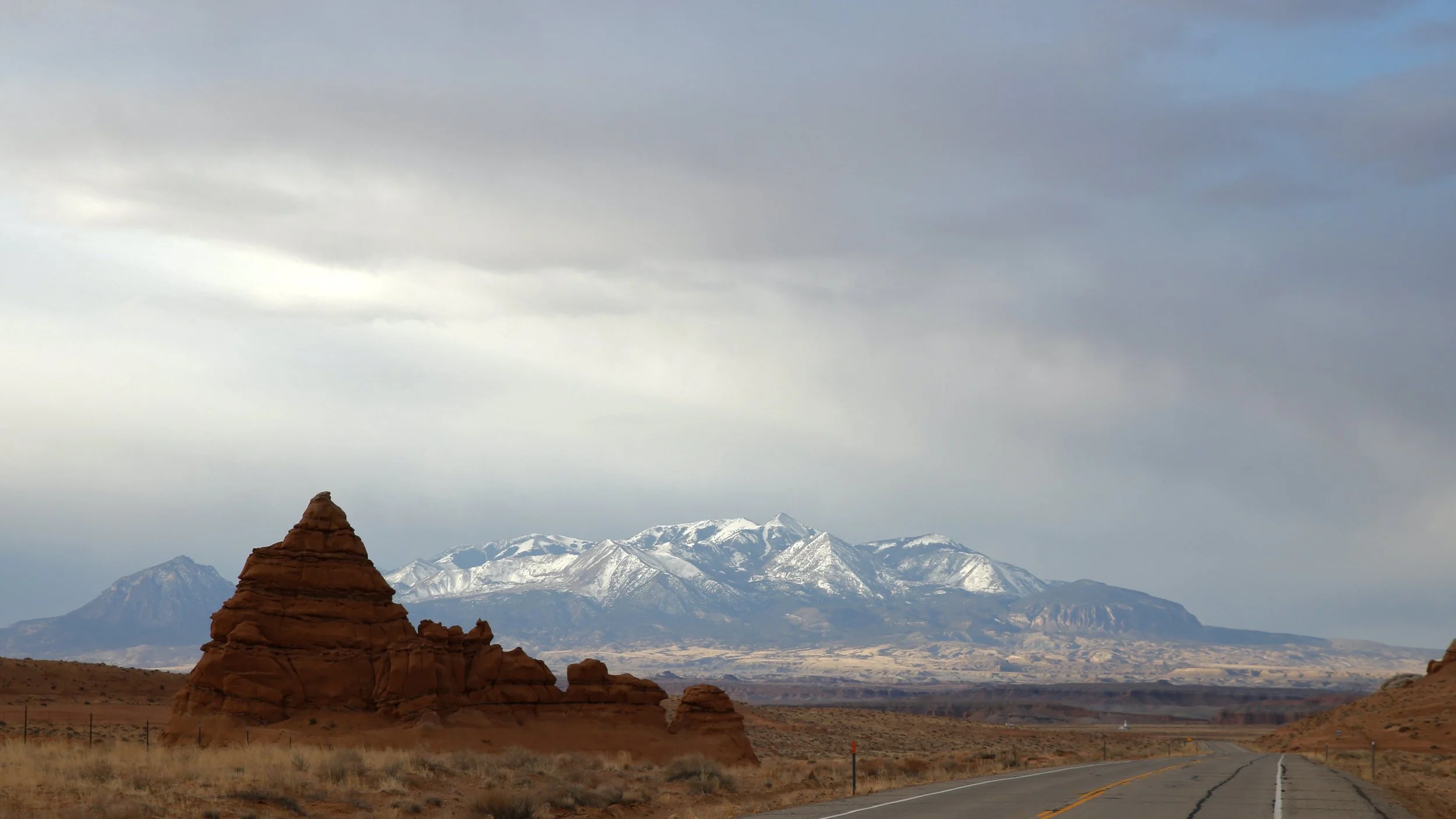
The Henry Mountains, much like Navajo Mountain or Sleeping Ute Mountain, is one of those features that you can see from so many places in the southwest, it almost acts as a compass point or a guide. They’re rugged, isolated, and gorgeous. They were the last place in the continental United States to be mapped! Once you travel around them, which I have done completely in all directions, you understand why. They’re utterly surrounded by more canyons than the mind can fathom. Despite that though, there is a group of up to 400 of my favorite creatures, the Bison, roaming these desolate looking laccoliths (magma induced domes that push up the surface of the earth above it but never explode).
You can see these beauties everywhere from Capitol Reef, Islands in the Sky, Needles, Glen Canyon, Hite Overlook, San Rafael Swell, Goblin Valley, Dead Horse Point, and more. They’re visible from Scenic Byway 12, 95, 276, the Burr Trail, the Notom-Bullfrog Road, Devil’s Backbone, Hole-in-the-Rock Road, and as far away as Moab. I love these mountains and they’re a strong contender with Bears Ears and the aforementioned mountain ranges for representing the soul of the southwest.
