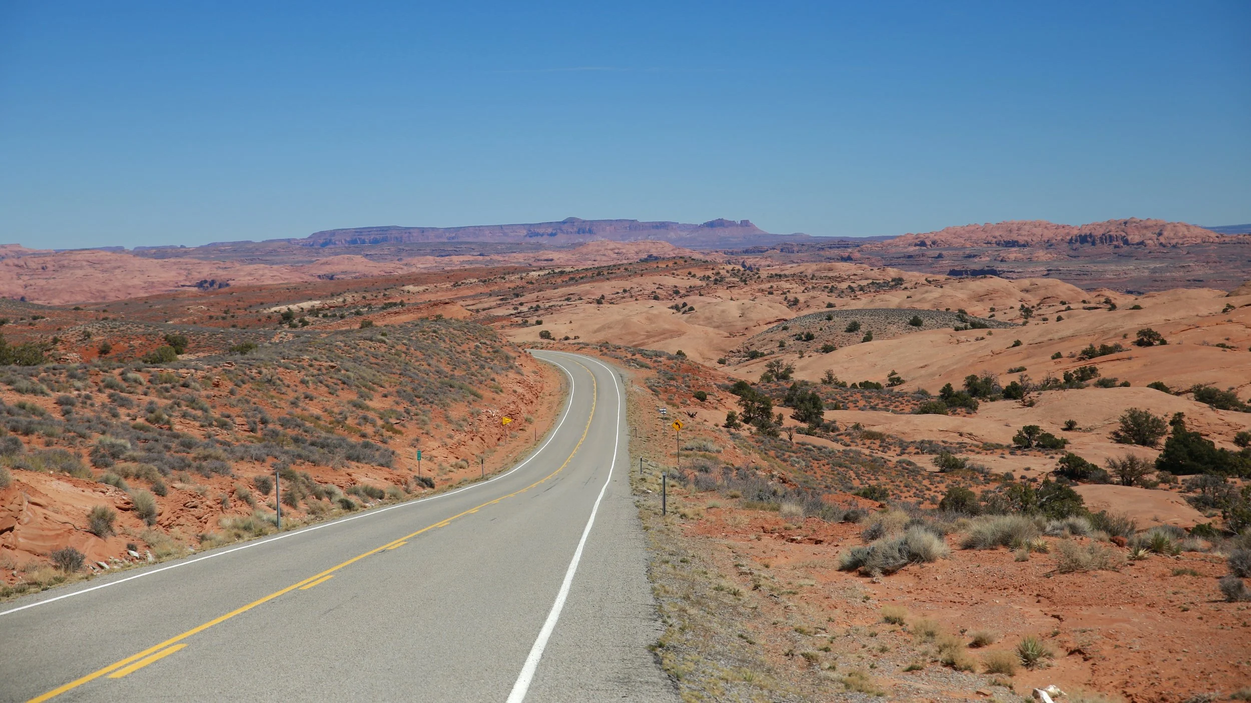
Highway 276 (West)
The incredibly scenic and often empty western portion of Highway 276 in Utah begins off of Bicentennial Scenic Byway 95 north of the Henry Mountains and ends at Bullfrog Bay & Marina on Lake Powell in the Glen Canyon National Recreation Area. There is an Eastern portion of the Utah State Route 276 (its official name) that runs from Highway 95 immediately south of Natural Bridges National Monument and runs westward towards Lake Powell at Halls Crossing. In the past there used to be a ferry that took travelers from one shore to the other but that ferry no longer runs on account of the extremely low water of that dastardly lake.
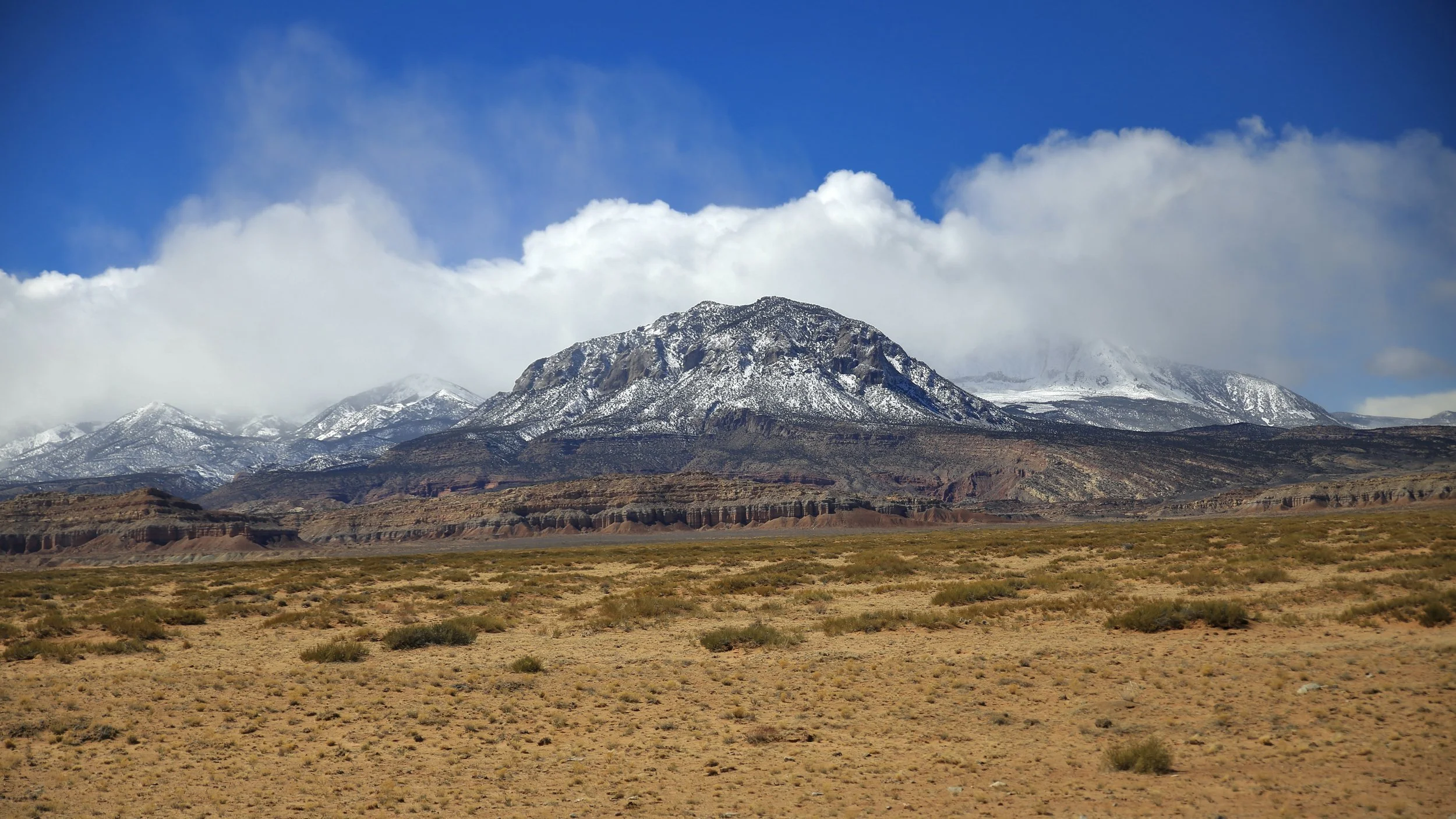
Along its 43 beautiful miles, the road takes you south southwest while skirting my favorite mountains in the world, the Henry Mountains. The entire drive you can take them in and enjoy their magnificent and remote grandeur. There’s a herd of bison in there!
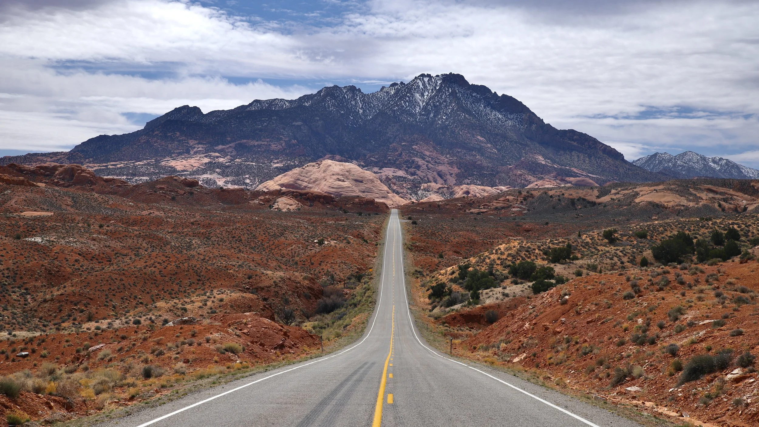
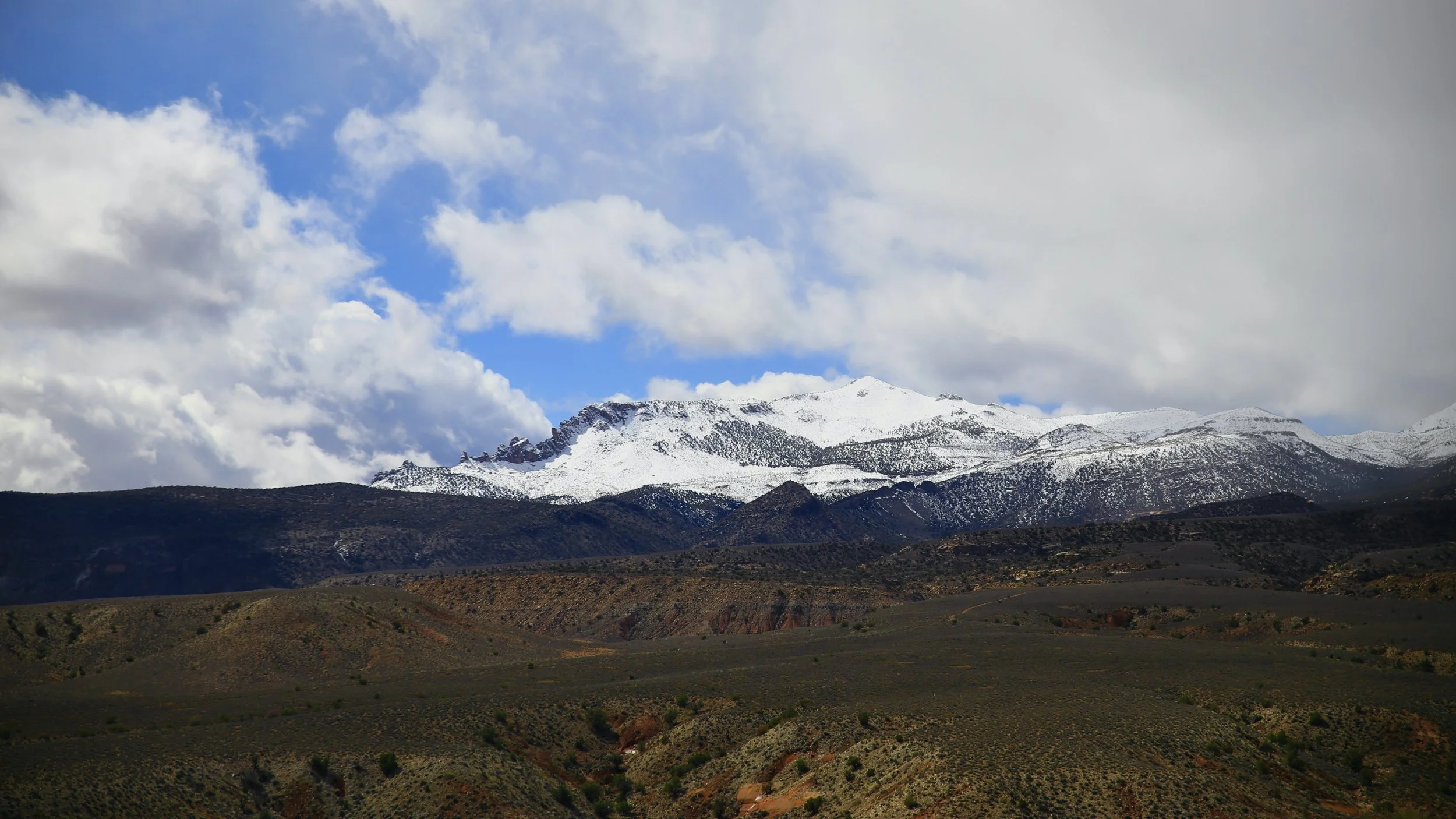
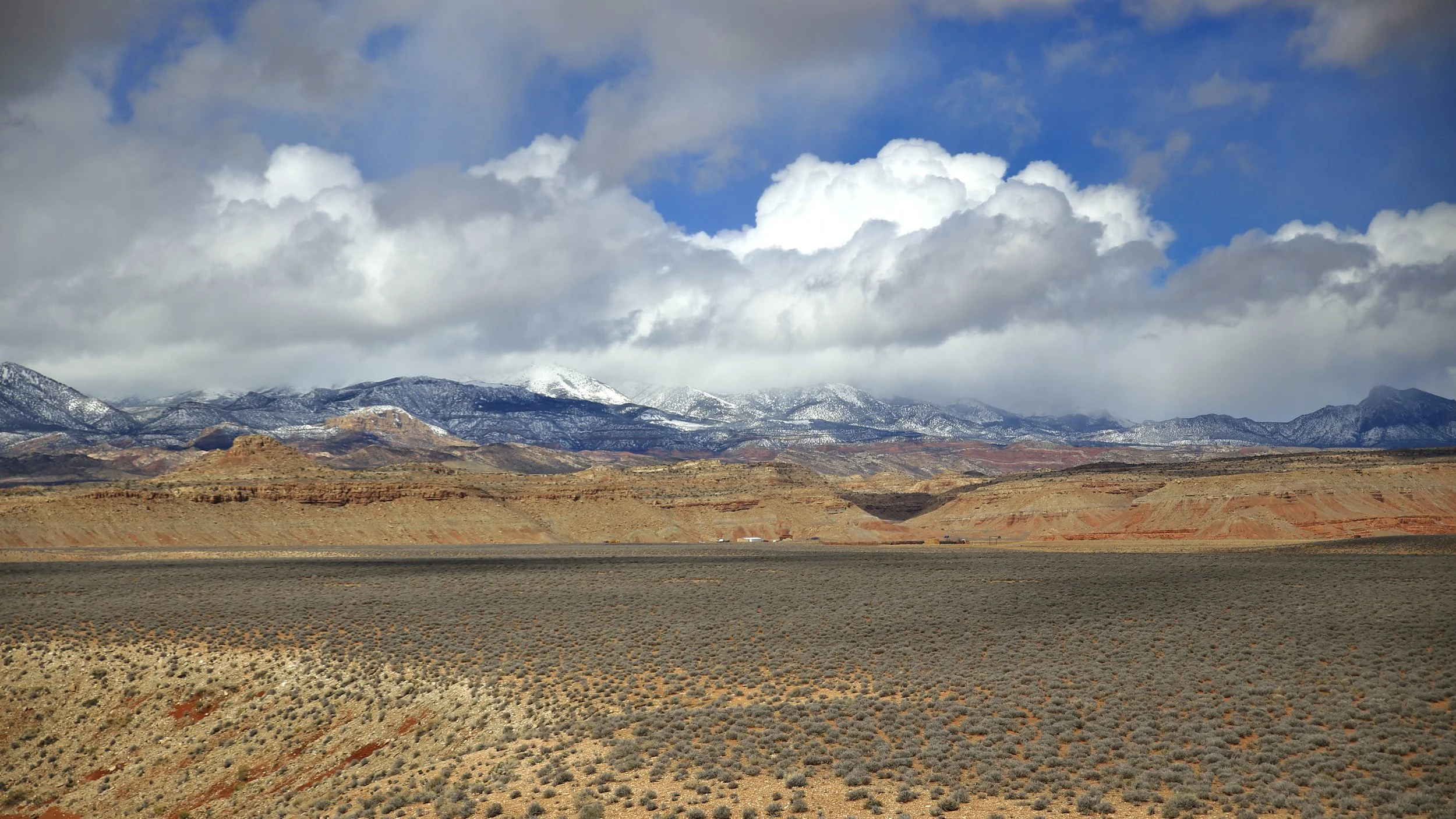
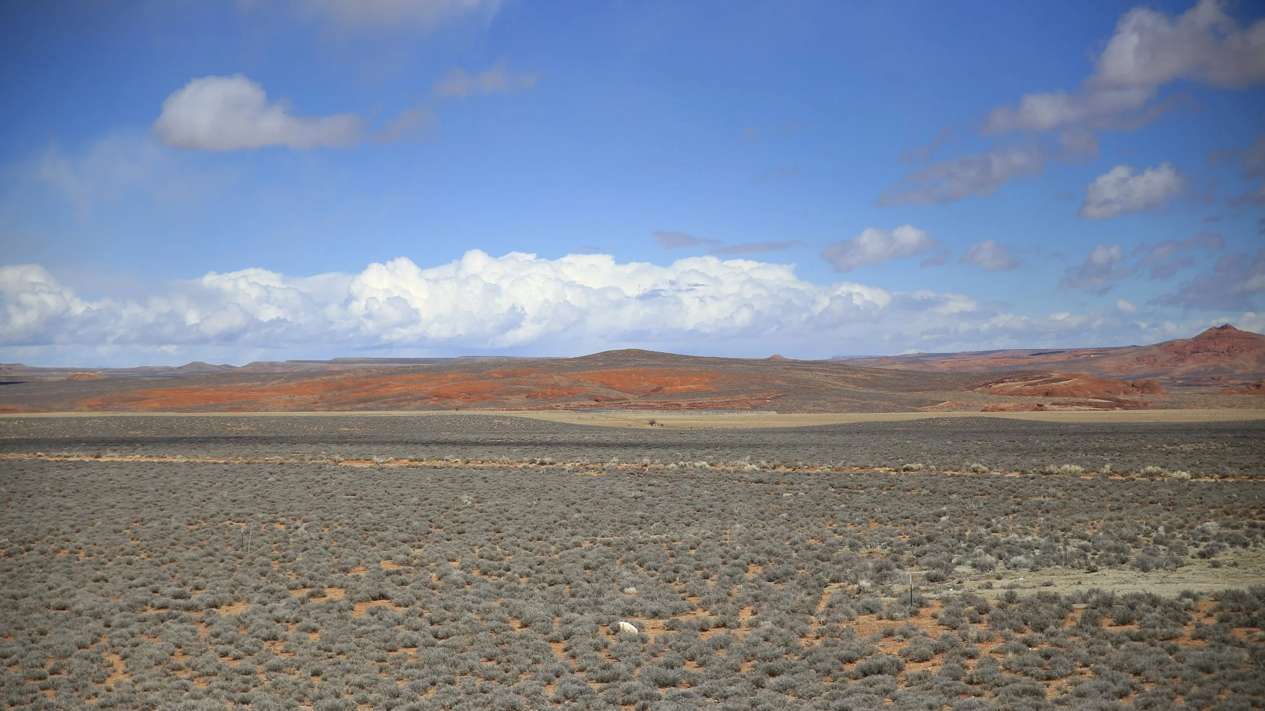
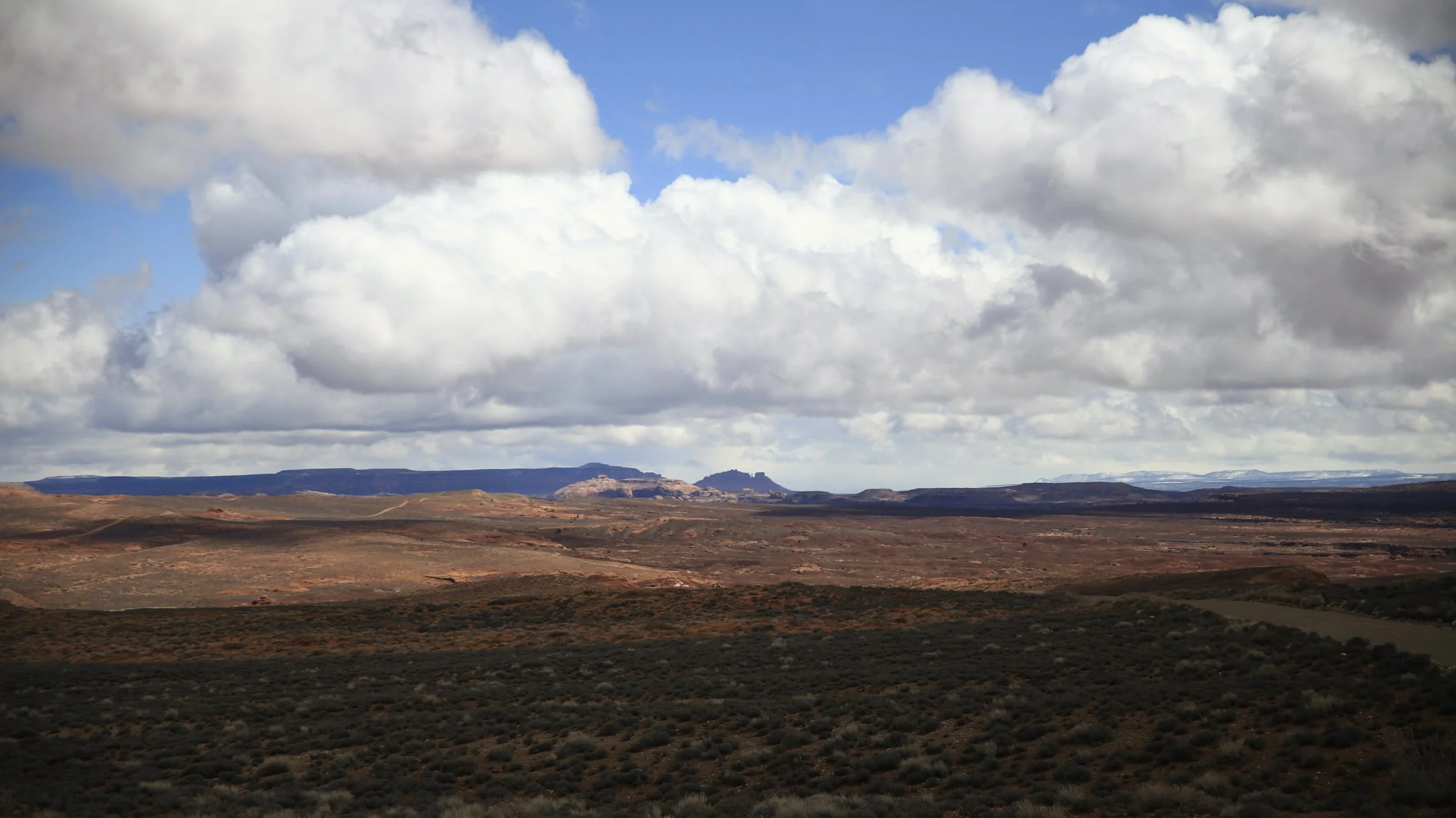
The sandstone playground, mountains, far vistas, and many canyons no doubt offer countless adventures. My wife and I took one of the roads to a great lookout point that let us see for miles where we ate a picnic in the truck and out of the wind.
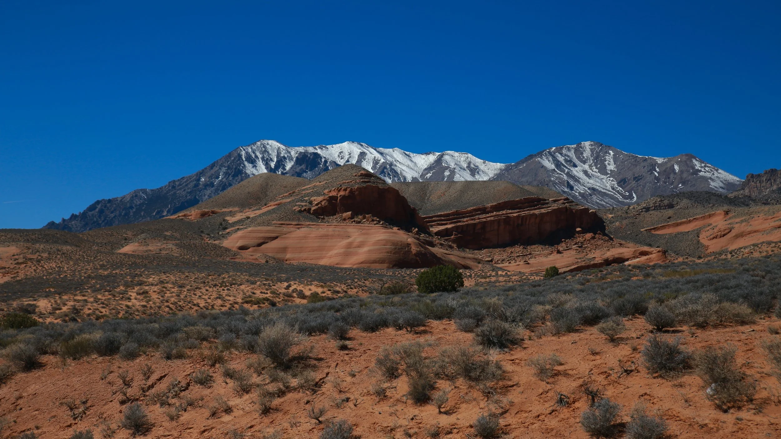
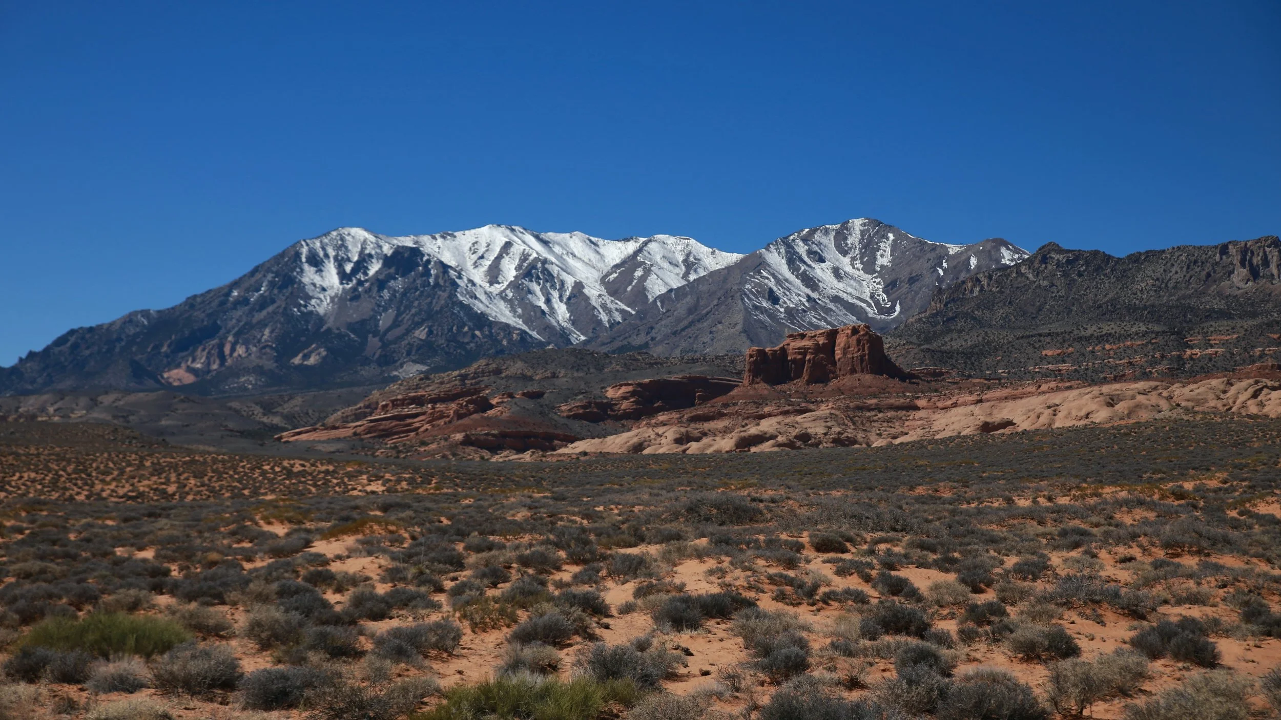
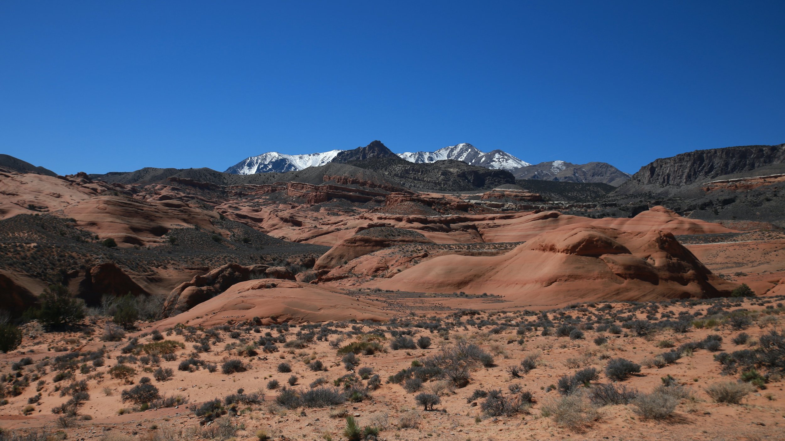
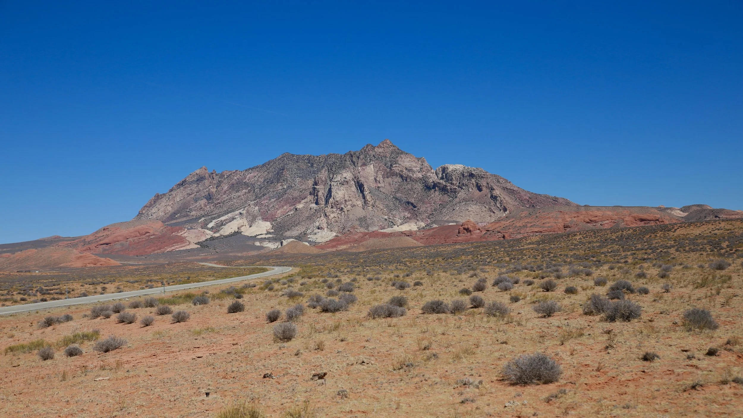
There are plenty of places to pull over and head into the mountains or descend into slot canyons that head eastward toward the Colorado River. I imagine there are tons of unmapped and unmentioned treasures. Last time I drove through there were quite a few cars parked at trailheads that descended into deep chasms.
Before you reach the marina, you’ll pass the turn off for the Notom-Bullfrog Road which is where you should be heading next. Also towards the end of the road, you’ll start to see the amazing Waterpocket Fold on the other side of Halls Creek and the Strike Valley, as well as Navajo Mountain.
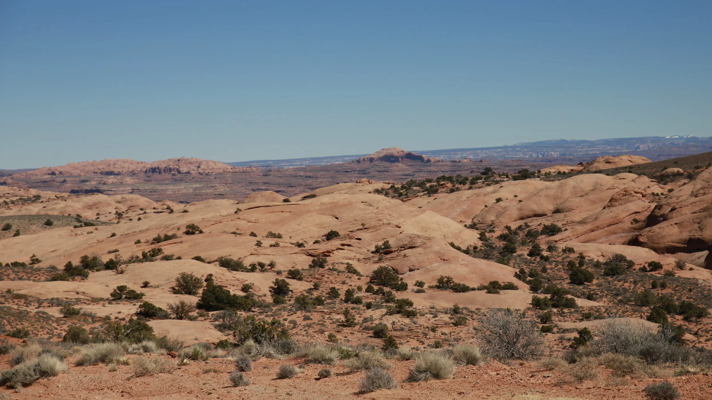

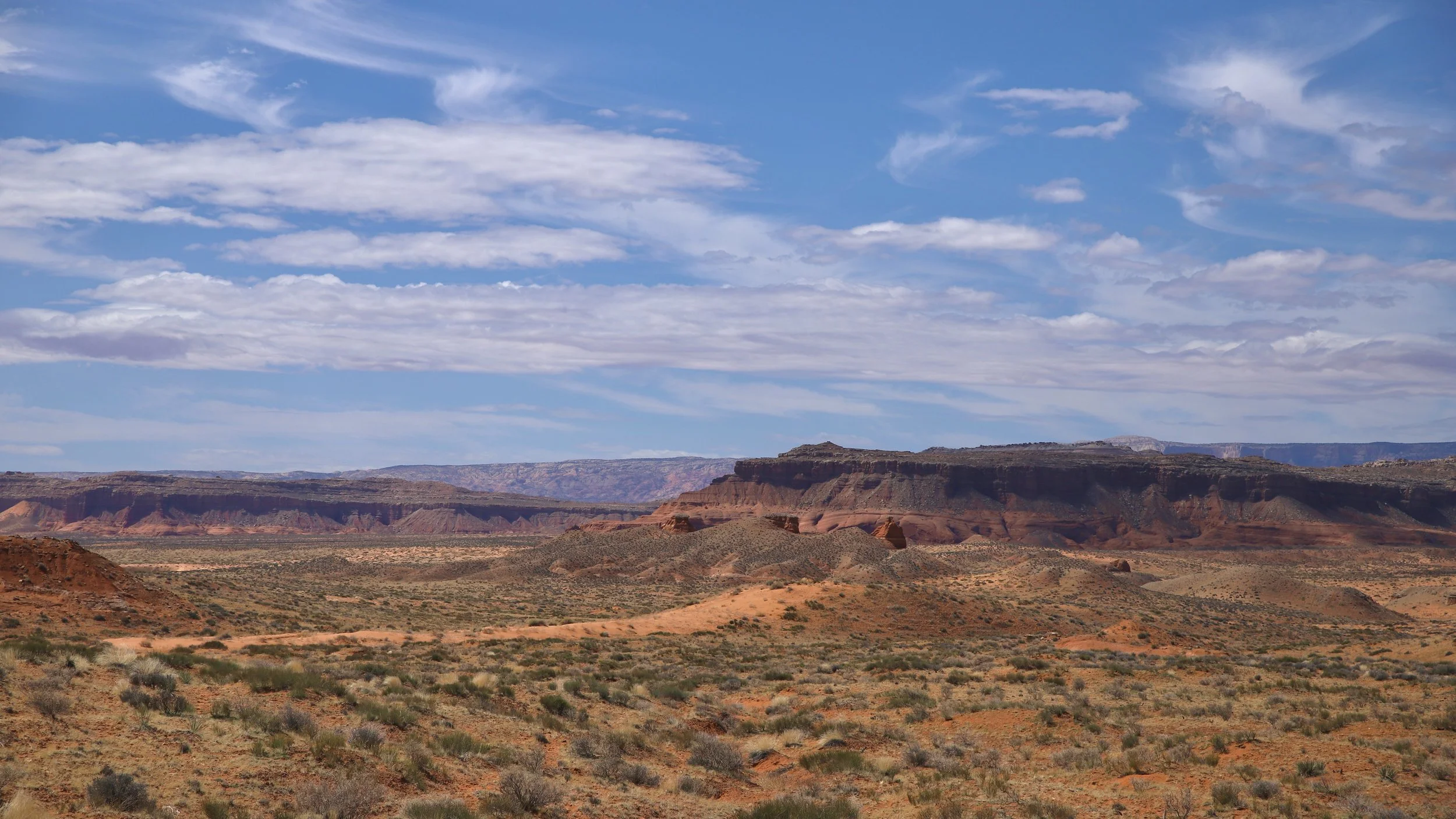
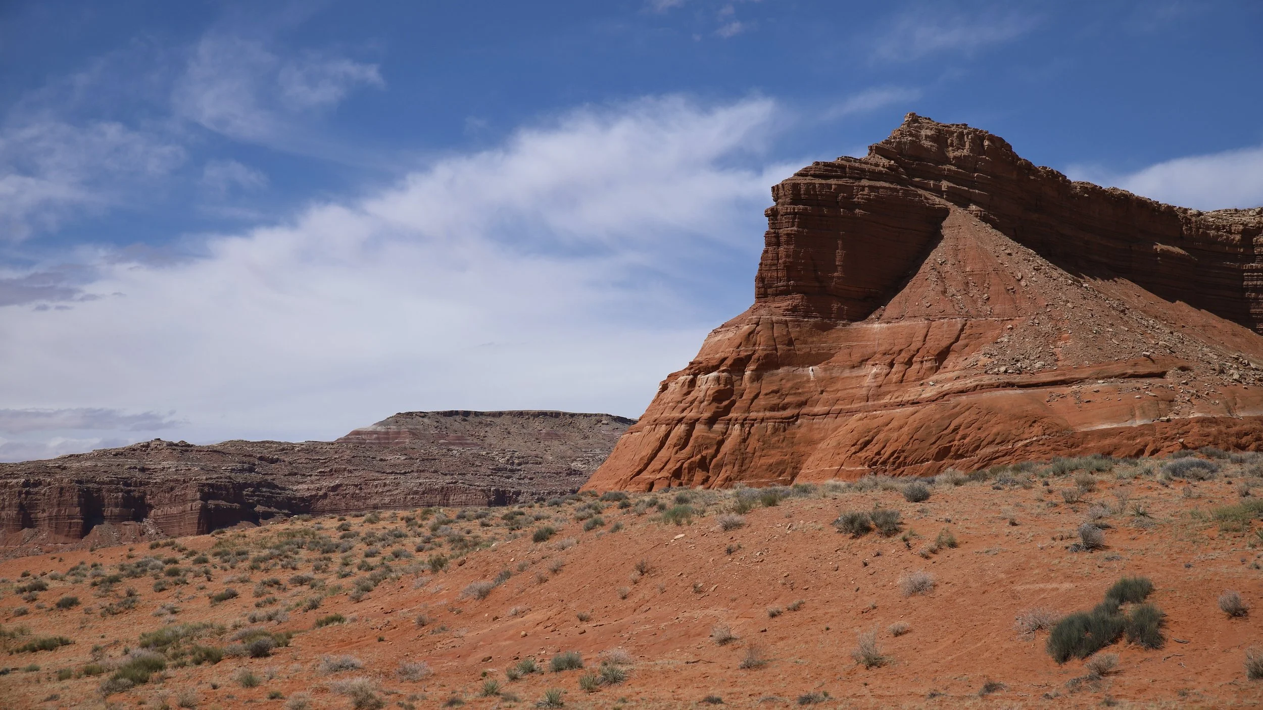
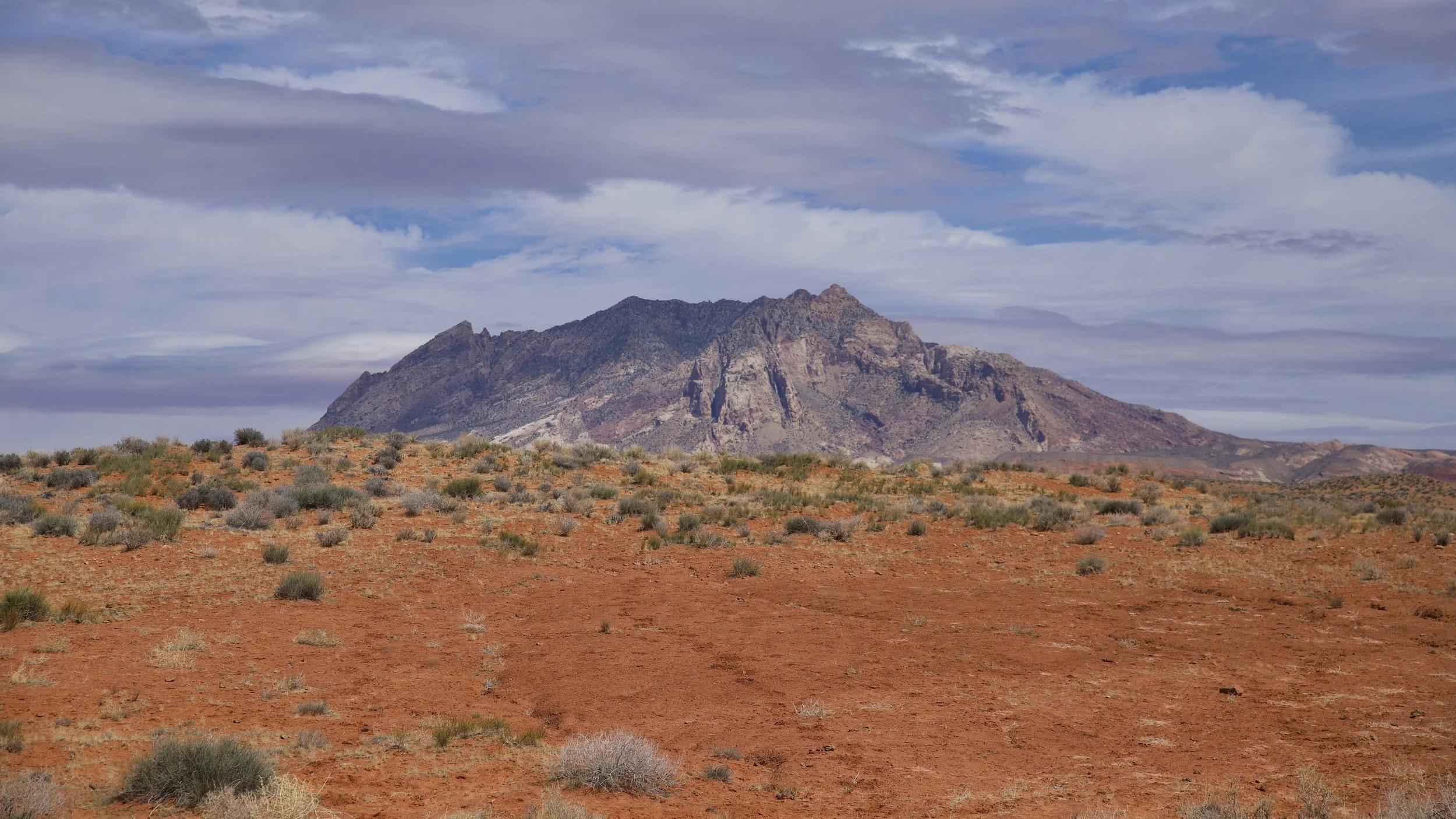
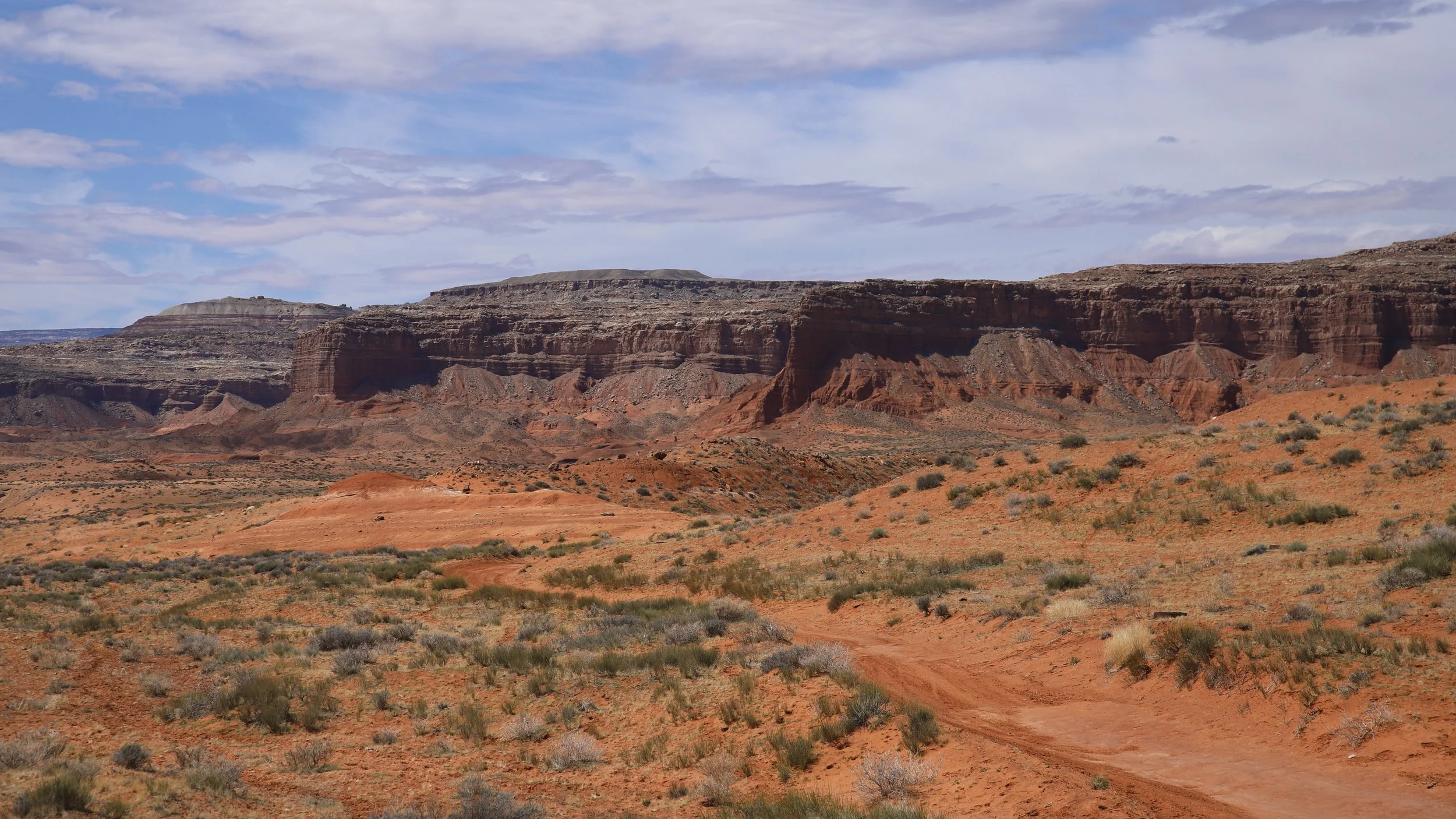
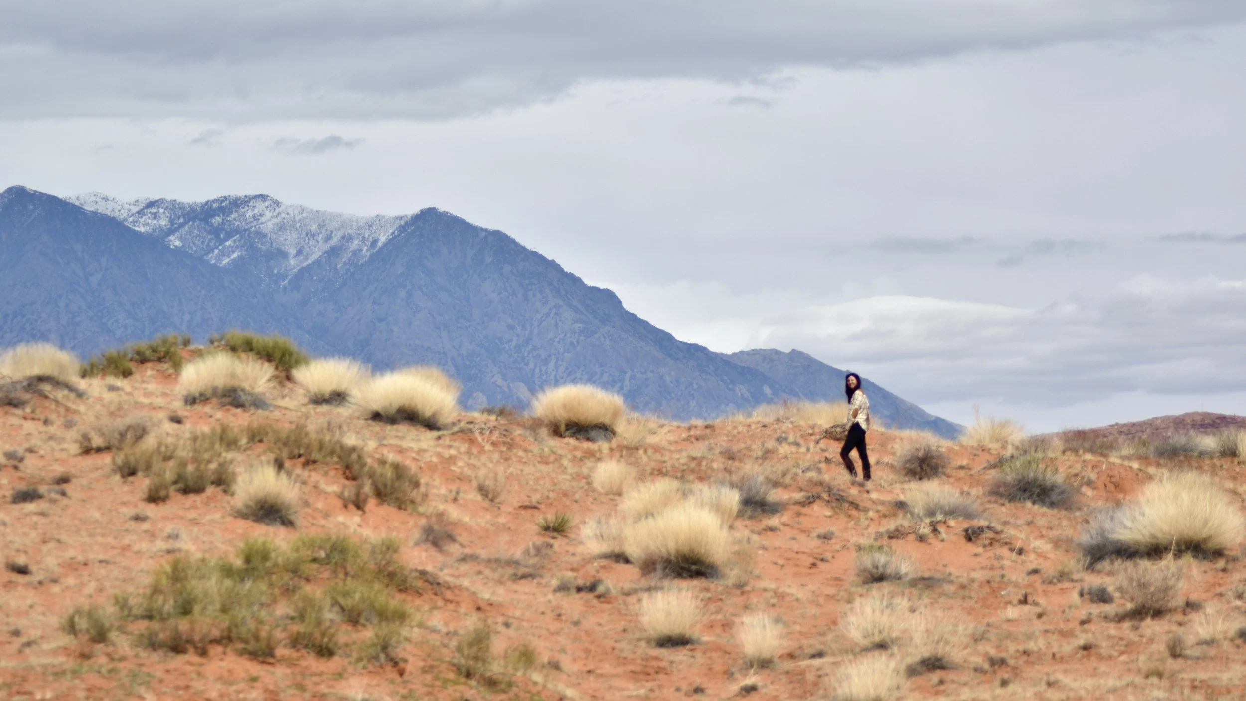
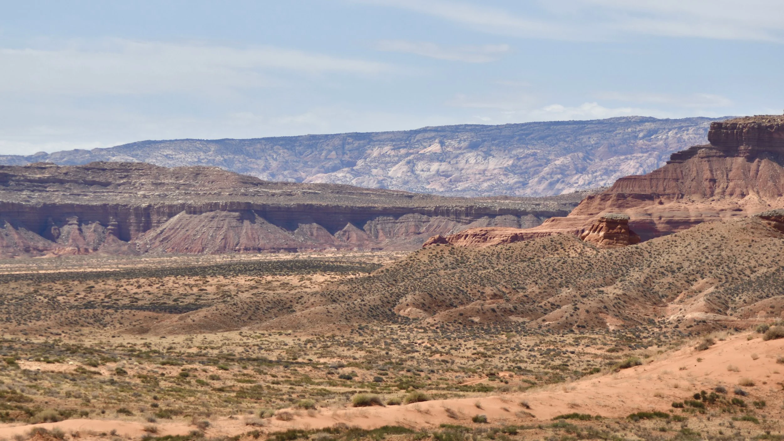
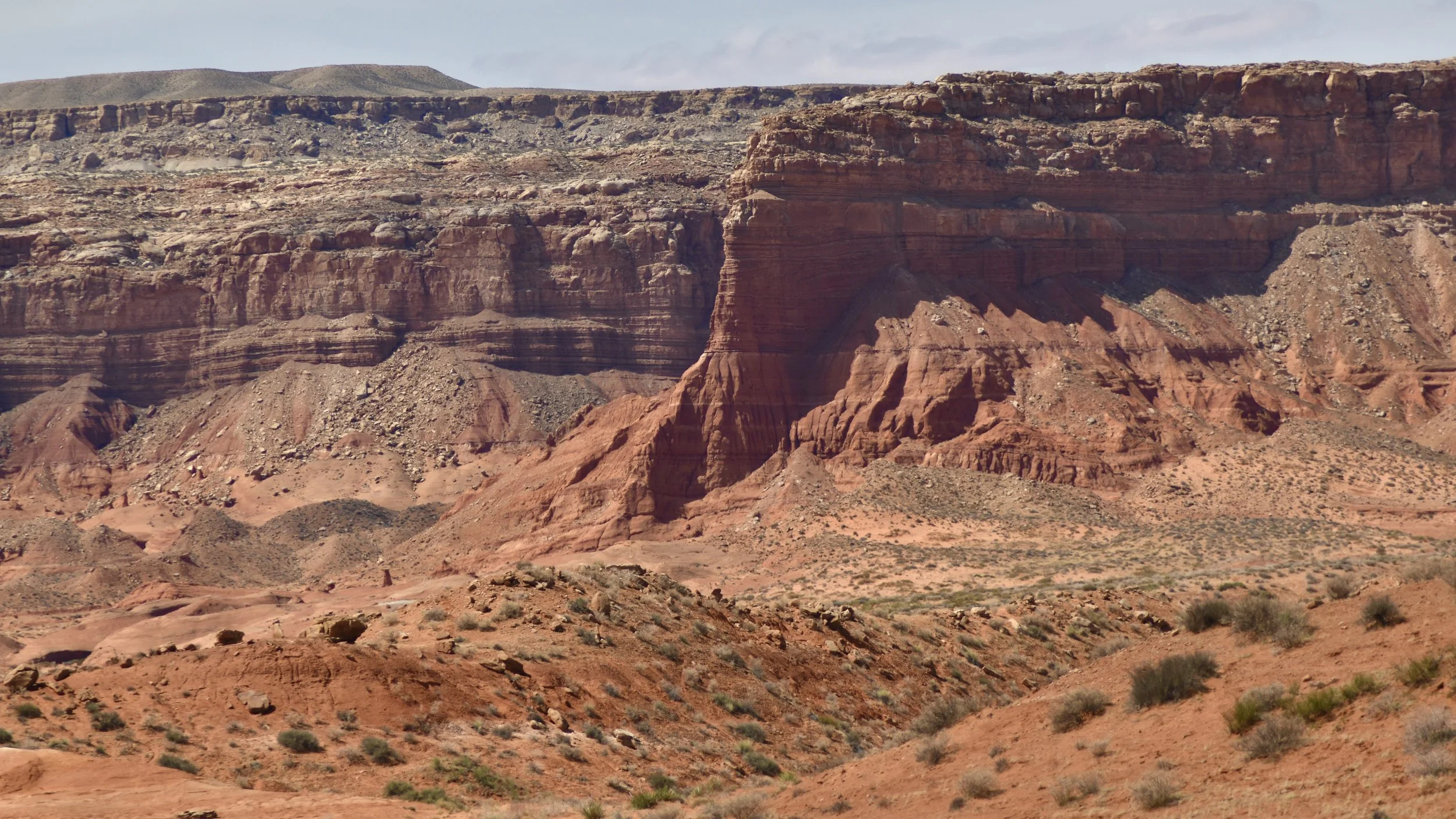
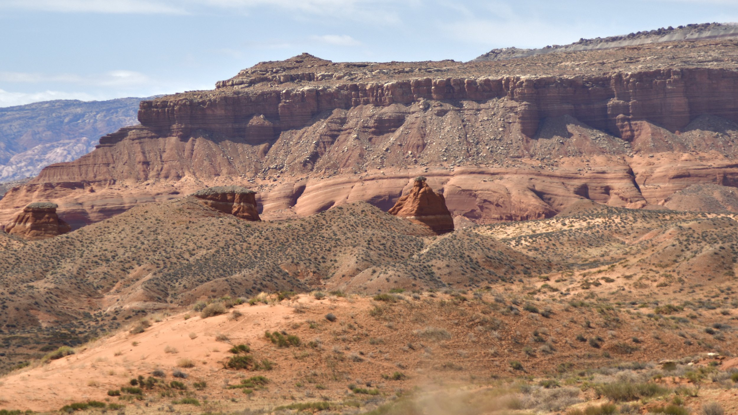
As you approach the Lake you’ll pass by Ticaboo and gas stations and quite a few house boats on stilts sitting above the parched red desert, hoping for one more swim before they’re permanently retired. When you reach the lake and the end of the road you can head into the Recreation Area and check out the lodge, campgrounds, visitor center, and what few trails there are. When I went in March 2022 they were pouring more concrete beacause the water level was half a mile from where the boat ramp used to be. The water level lines are strikingly and noticeably higher than the water itself, and it all just looks so sad. And for what?! How many archaeological sites, petroglyphs, artifacts, arches, slot canyons, spires, natural bridges, treasures, adventures, and significant areas did they destroy? And the Federal Government in their infinite wisdom flooded sandstone, which acts like a sponge and just sucks up the water. Not to mention there’s 26,000 tons of radioactive uranium mining sediment that’s been building up since the dam was finished from decades of mining for the bomb. It really is a shame and I wish I could have explored the places before they flooded but thankfully smart people did and they wrote about it. It’s all so frustrating. Don’t pay any money at that place and avoid it like the contaminated plague that it is. I didn’t take any pictures of the lake because it’s pathetic and shameful and I couldn’t wait to get out of there. But we did pull off and enjoy the Henry Mountains and the sand dunes and the quiet solitude.
