Highway 12, Highway of Legends Scenic Byway & The Spanish Peaks
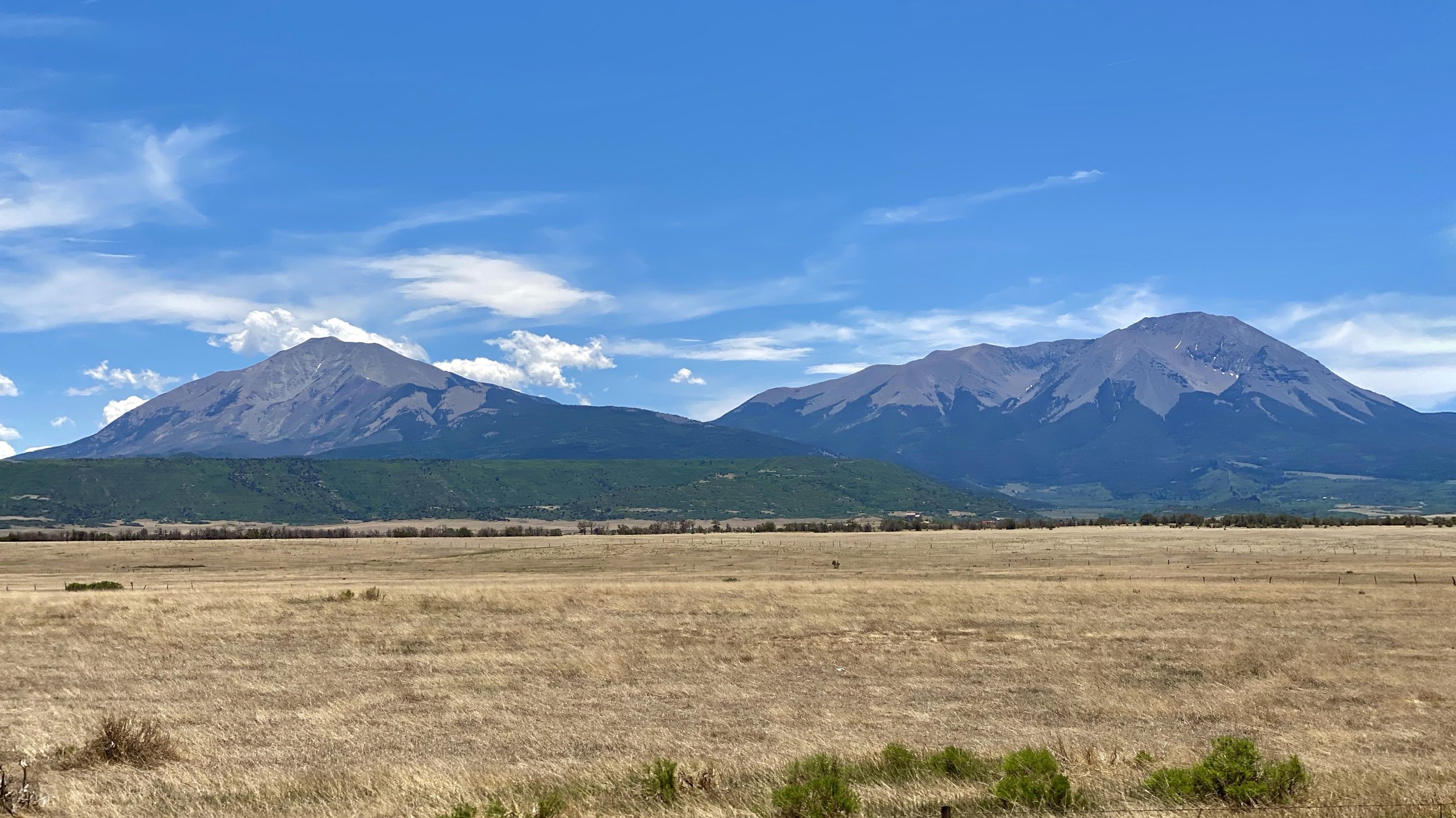
The real star of the Highway of Legends in Southern Colorado are the Spanish Peaks or as the American Indians of the area, the Tarahumare, called them, The Breasts of the World. They are quite magnificent and awe inspiring. Although, The Highway of Legends is quite the handful as well.

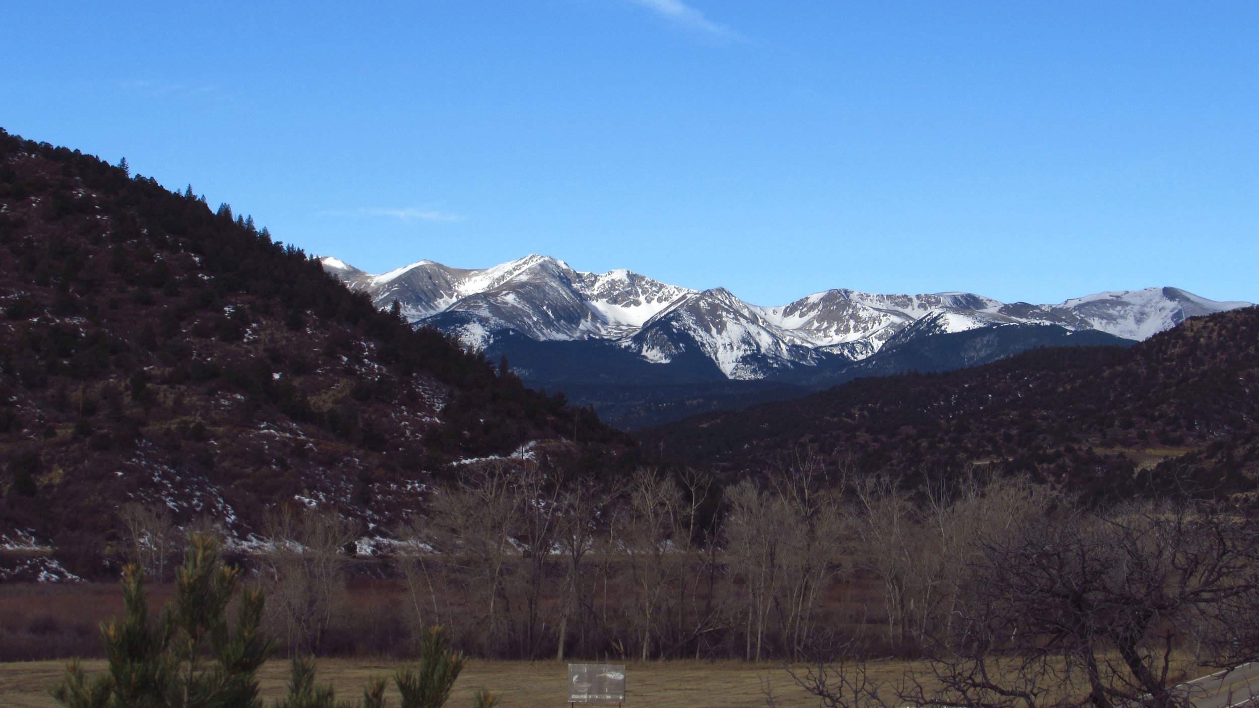
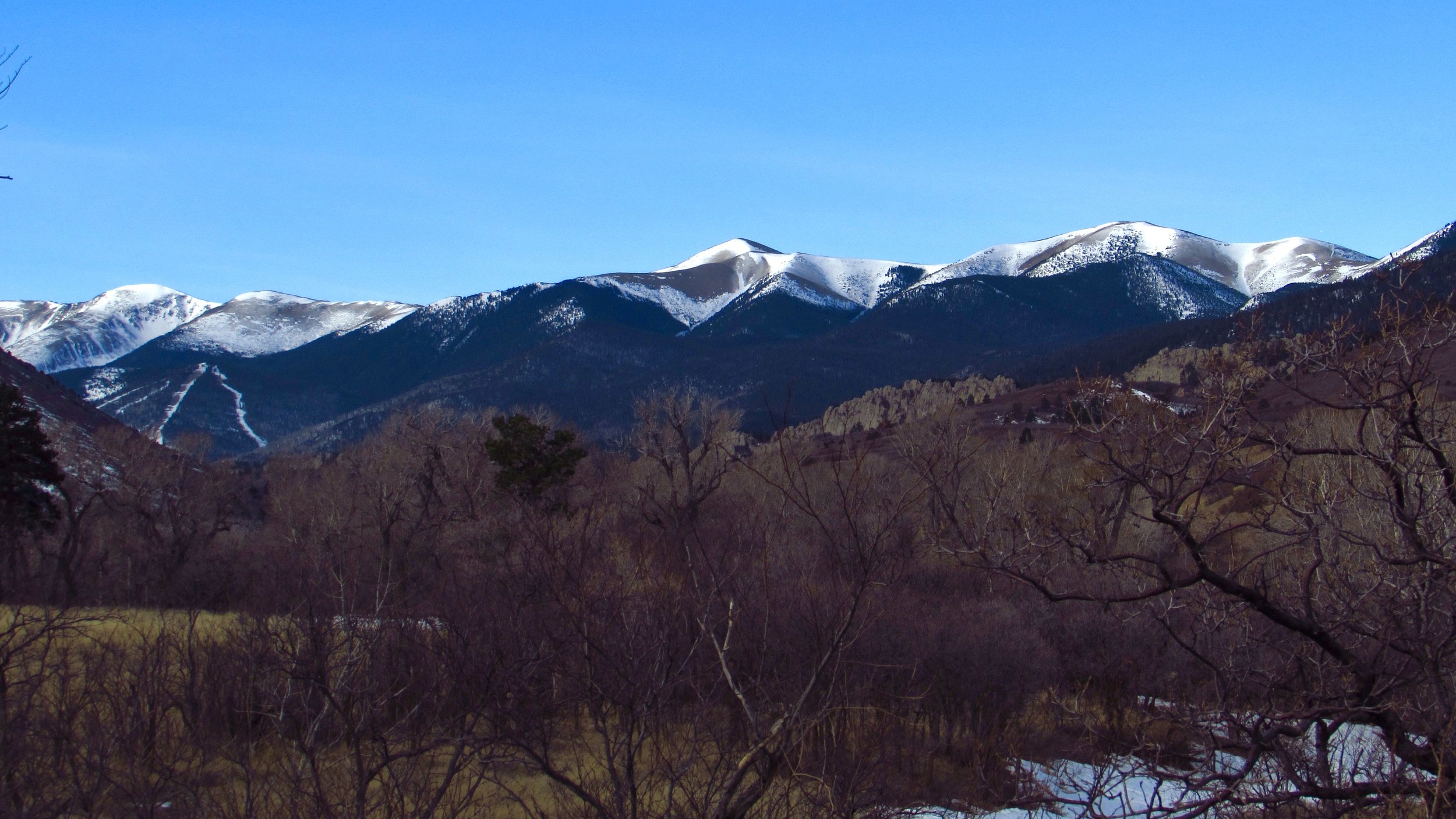
If you’re traveling north on I-25 from New Mexico and you’re looking for the road less travelled, you should pull off on Exit 13B in the city of Trinidad and prepare for 70.4 exciting and scenic miles that will take you to the foothills of the Sangre de Cristo and around those beautiful twin peaks. Oh, and there are trails and hikes all throughout the wonderful road! The first major stop is the Trinidad Lake State Park which has campsites by the lake and beautiful sunsets. I stayed there in February of 2016 and while cold and windy, it was absolutely gorgeous. From the State Park, you’ll travel through small towns like the National Historical District of Cokedale and its Madrid Bridge. You’ll pass horses and deer and all the while, the beautiful Sangre de Cristo Mountains, that far southern end of the Rockies, will be ahead of you.


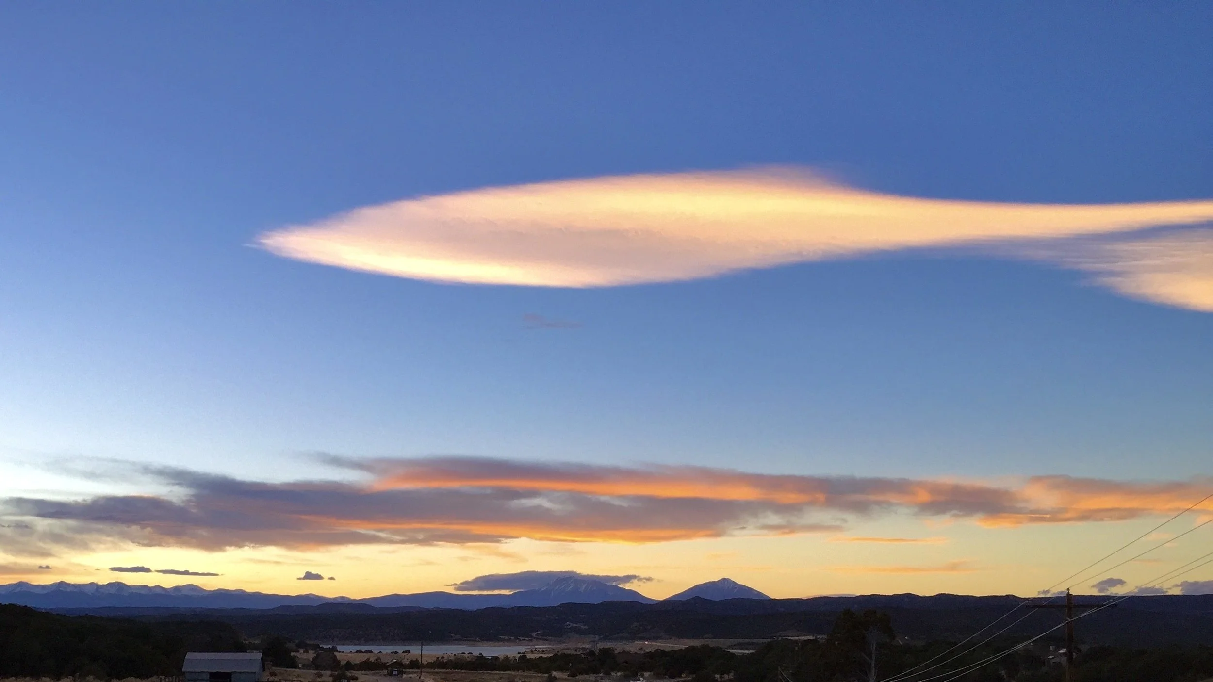


Eventually, as you approach Stonewall, you will start to notice some awesome looking… stone walls. In geological terms, they’re known as radial dikes and there are 0ver 500 of them that radiate out of the Spanish Peaks in lines like spokes from a wheel. The Spanish Peaks aren’t actually volcanoes but they are huge masses of hardened volcanic magma that were pushed up nearly to the surface 65 million years ago. Then, over time, the land around the magma has weathered away, leaving only these beautiful specimens now. The dikes are pipes of magma that generated out from the pools of hot liquid but then hardened like the peaks. The local American Indians believed giants once roamed the area around the Breasts of the World. A sign on the side of the road reads further: “A quarrelsome tribe, they built rock walls as breastworks for their war, using huge boulders as weapons. The whole world reverberated from the sounds of battle.” After the gods withheld water from the giants, they left together in search of more. Today their walls and weapons stand as dikes and volcanic boulders. Also nearby is a volcanic plug, similar to Cabezon Peak in New Mexico, called Goemmer’s Butte. He was a giant left behind to stand guard but the gods froze him into stone.
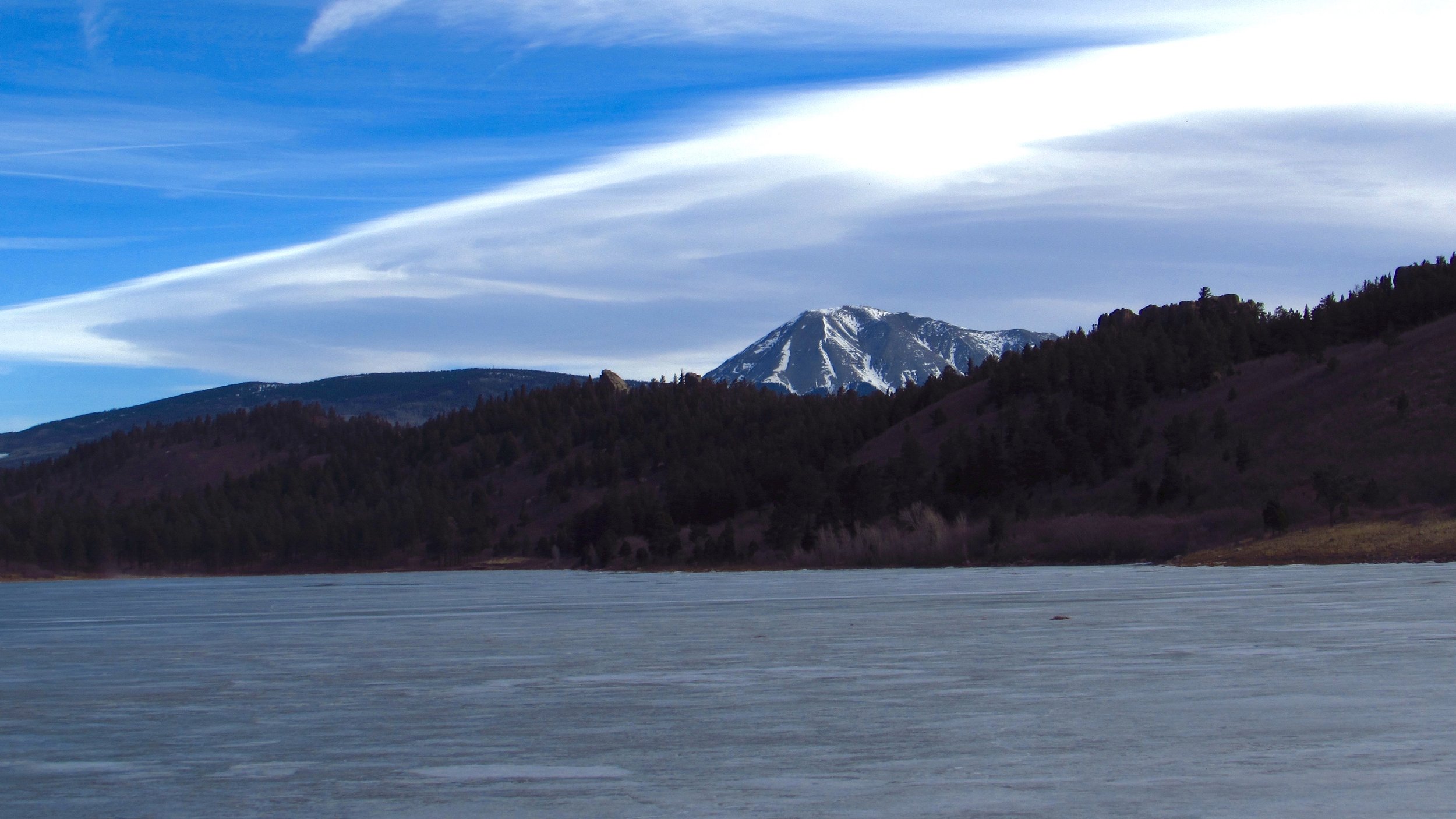


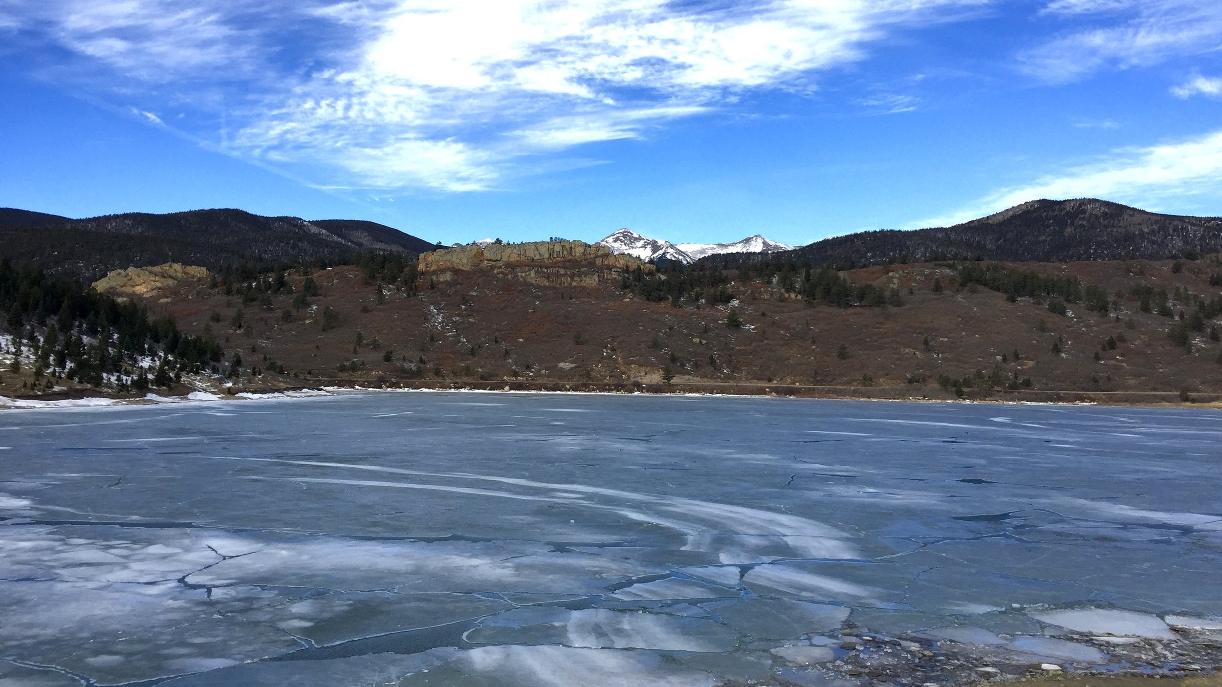


As you head north you’ll pass Monument Lake and North Lake State Wildlife Area. When I was there in February, it was frozen. Immediately west of the peaks is the cool old looking town of Cuchara in the Cuchara Valley before Cuchara Pass at 9,995 ft. Cuchara has food, drinks, snacks, and souvenirs so it’s worth a stop.
After the winding and wonderful pass you will come down the mountains, enter La Veta and before long, you’re driving through ranches and merging onto Colorado Highway 160. But make sure to pull over and look towards the towering perky peaks to the south. Just around the corner through the Sangre de Cristos to the west is Great Sand Dunes National Park!
