
Calf Creek Falls
5.85 Miles Roundtrip Out & Back
Amazing Easy Hike Through A Canyon With Petroglyphs, Ruins, & A Waterfall
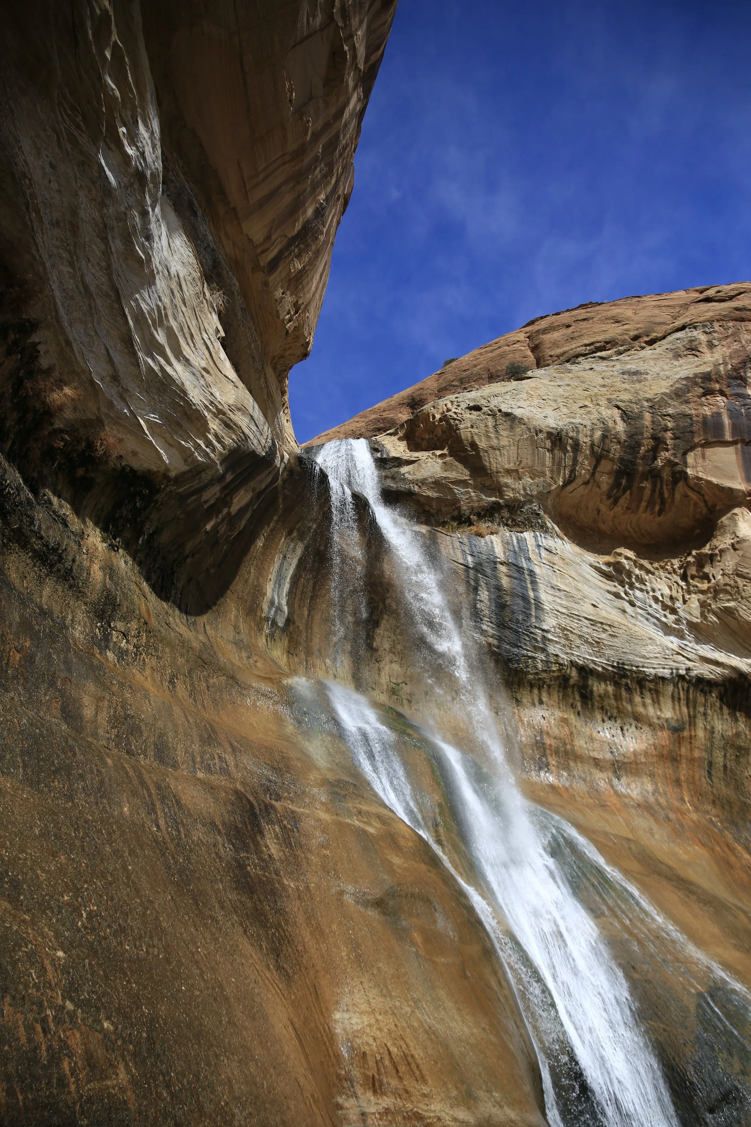
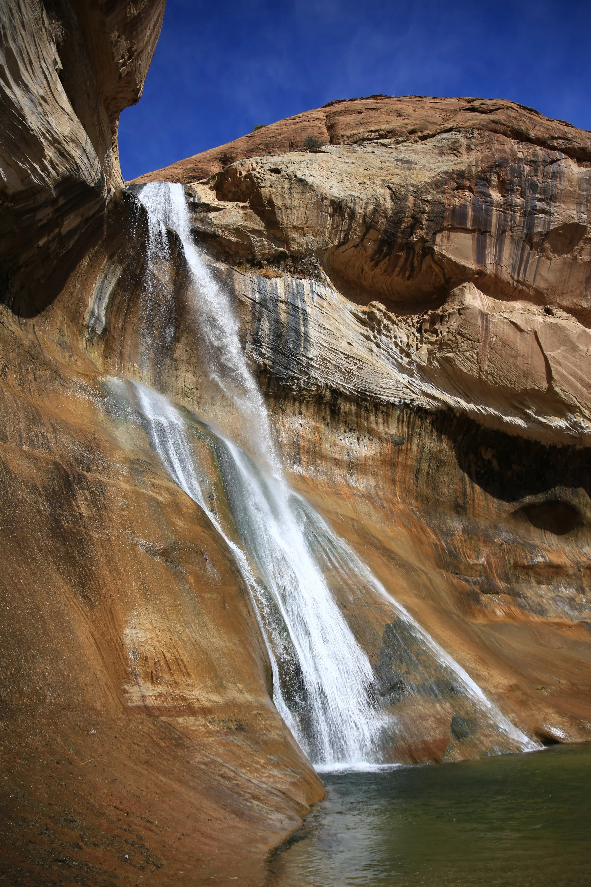
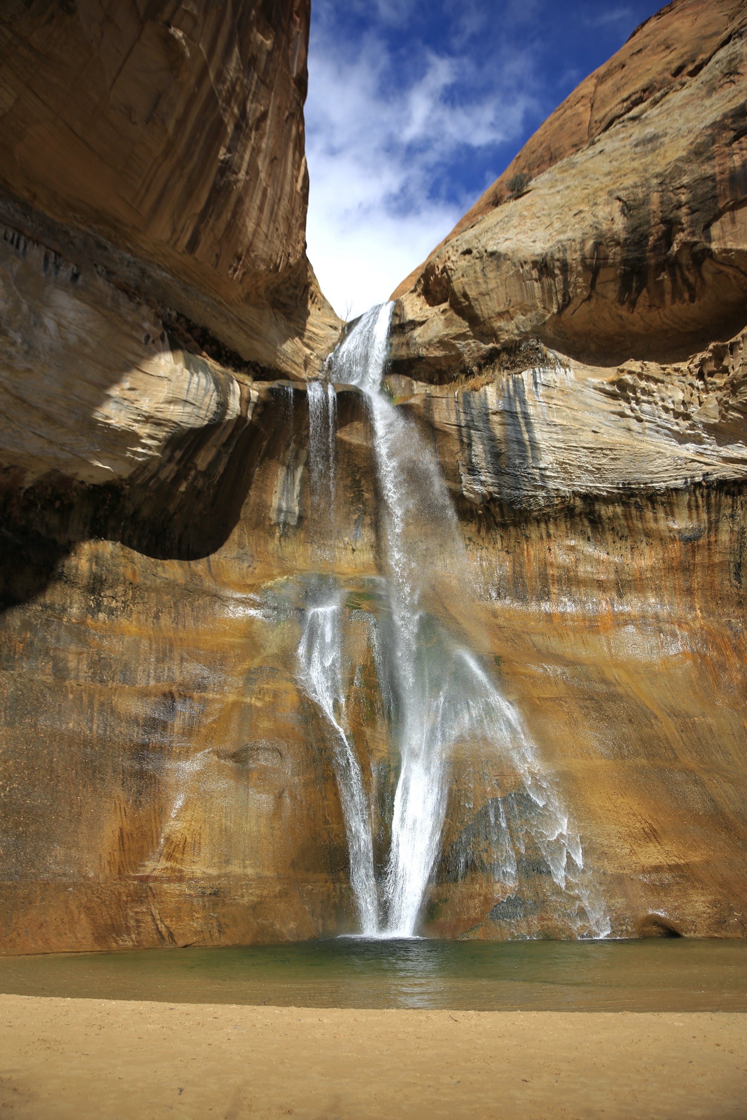
The Lower Calf Creek Falls Trail in the Grand Staircase-Escalante National Monument is a 5.85 mile roundtrip hike just off the Hogsback of Highway 12 that takes you through steep canyons, wetlands, past some petroglyphs, & ultimately to an amazingly beautiful waterfall and pool of clear mountain water. It is a very popular hike and a very fantastic one. The area also features many camping spots. Make sure to get there early though, because the parking lot fills quickly, especially on beautiful days.
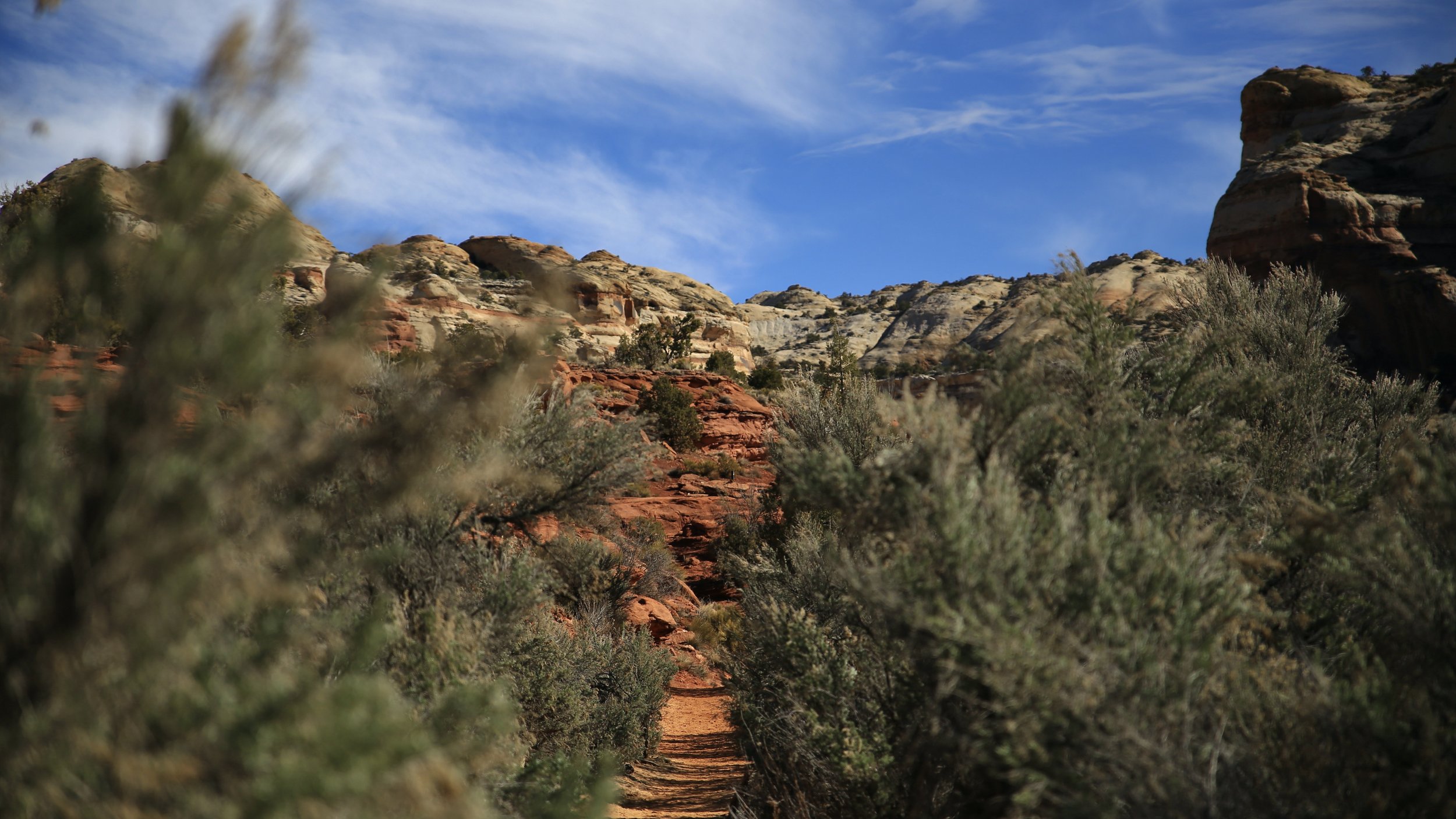

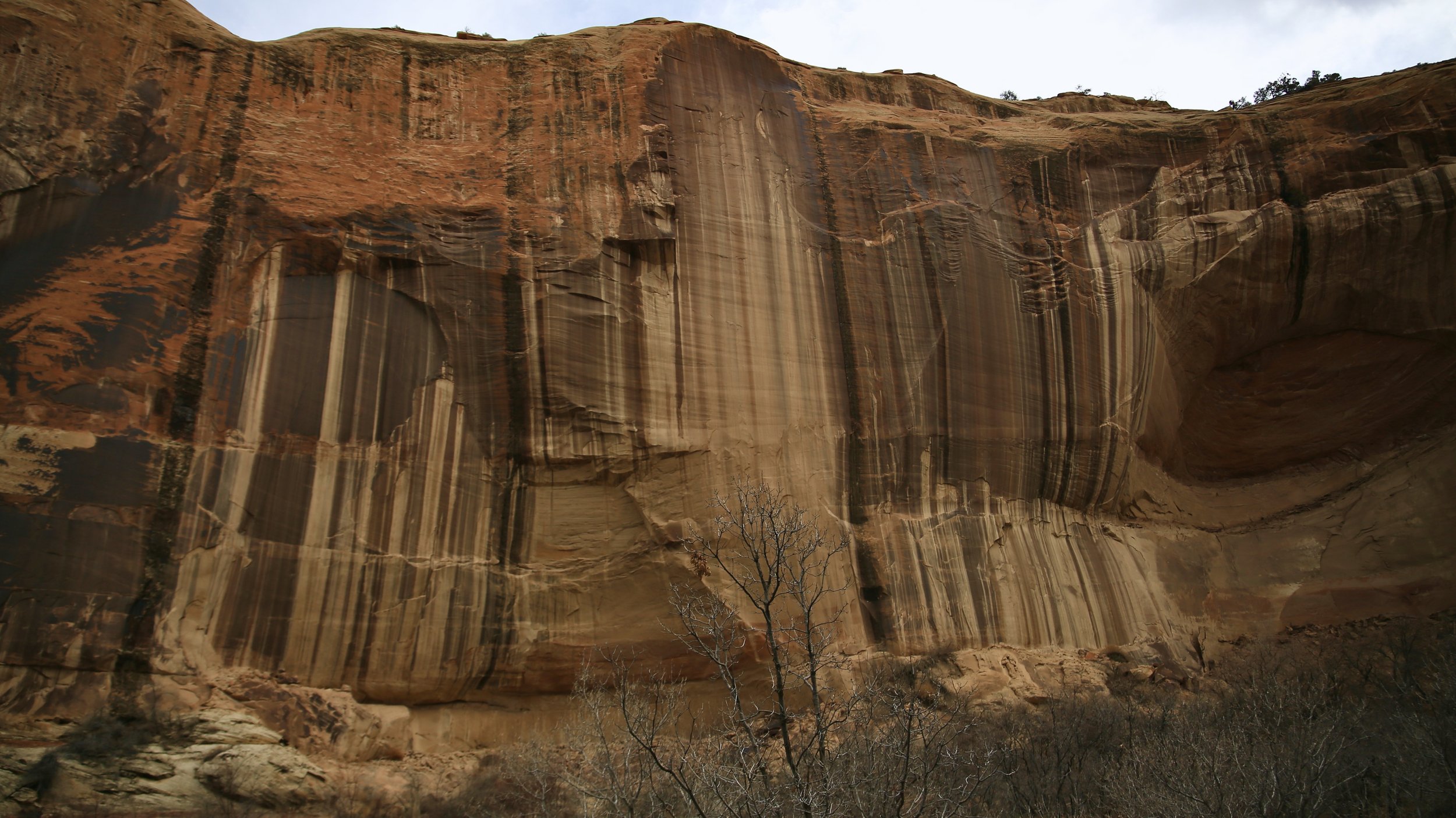

My wife & I got extremely lucky and we had the falls to ourselves for a little bit before some people arrived and eventually some snow clouds.



There are some fantastic things to see along this hike though. The first major stopping point is before you cross the first wash. There will be some red sandstone rocks on your left which you should climb up just a little bit and then look directly ahead and up and to the right a little and you’ll see an old car that has rolled off the Hogsback and down the way a little bit. I hope everyone involved in that was okay.
The second great spot to take a break is the Granary lookout spot. The Fremont or Anasazi or Ancestral Puebloans felt that the spot on the high cliff across the creek was a great place to store some food. Not sure if they were keeping it away from other humans or the wildlife…
Lastly, there are TWO places to see pictographs that are on the wall across the creek. There are sign posts that let you know where they are. The two spots are also in the pictures below if you zoom in. I know, the pictures are not great. A good resource I used was Woodlands.explo Grand Staircase-Escalante National Monument Map Illustrated Trails.


