Fort Craig & The Valverde Battlefield
A small trail takes you through the ruins and affords views of the land surrounding the Fort.
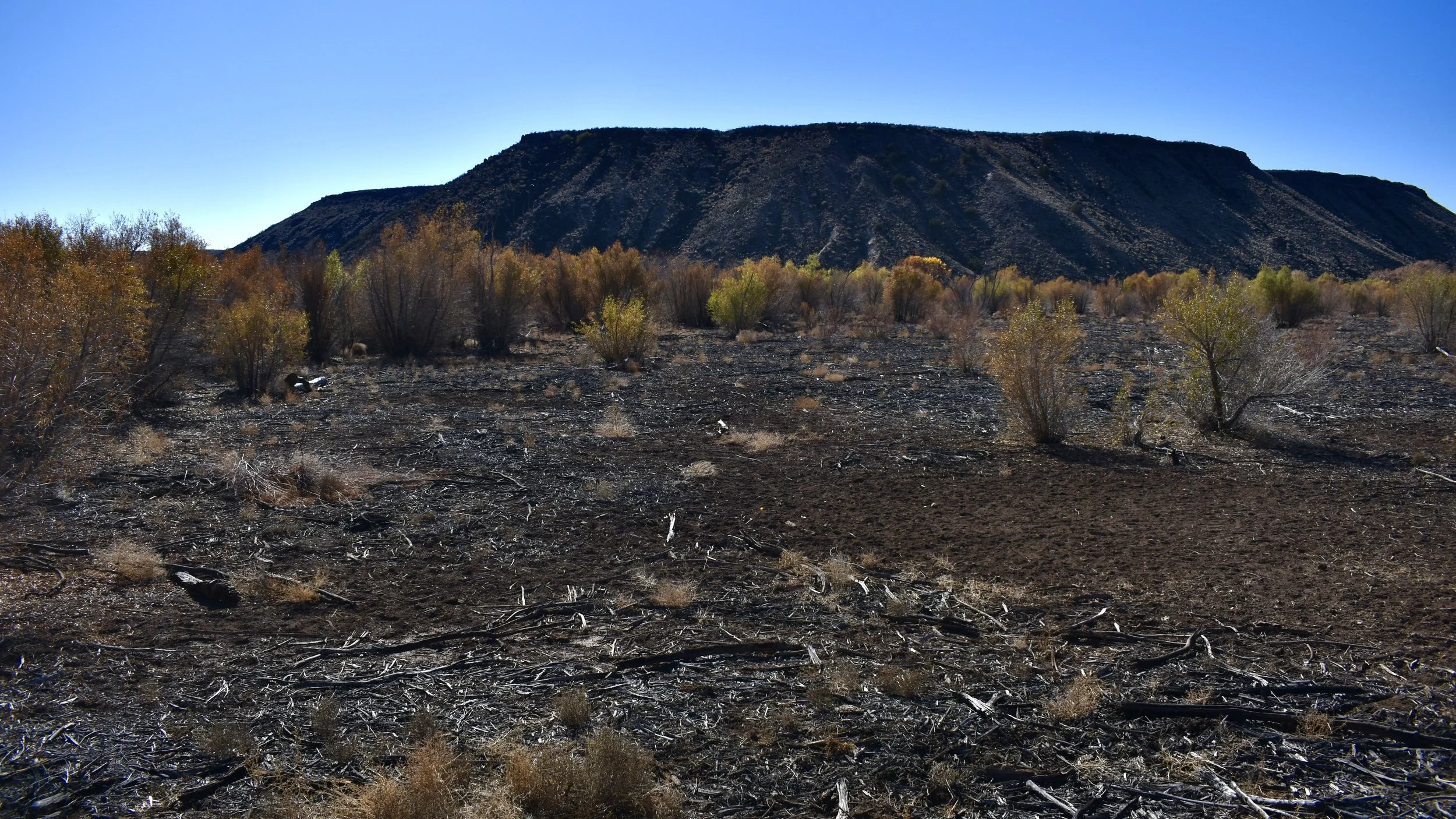
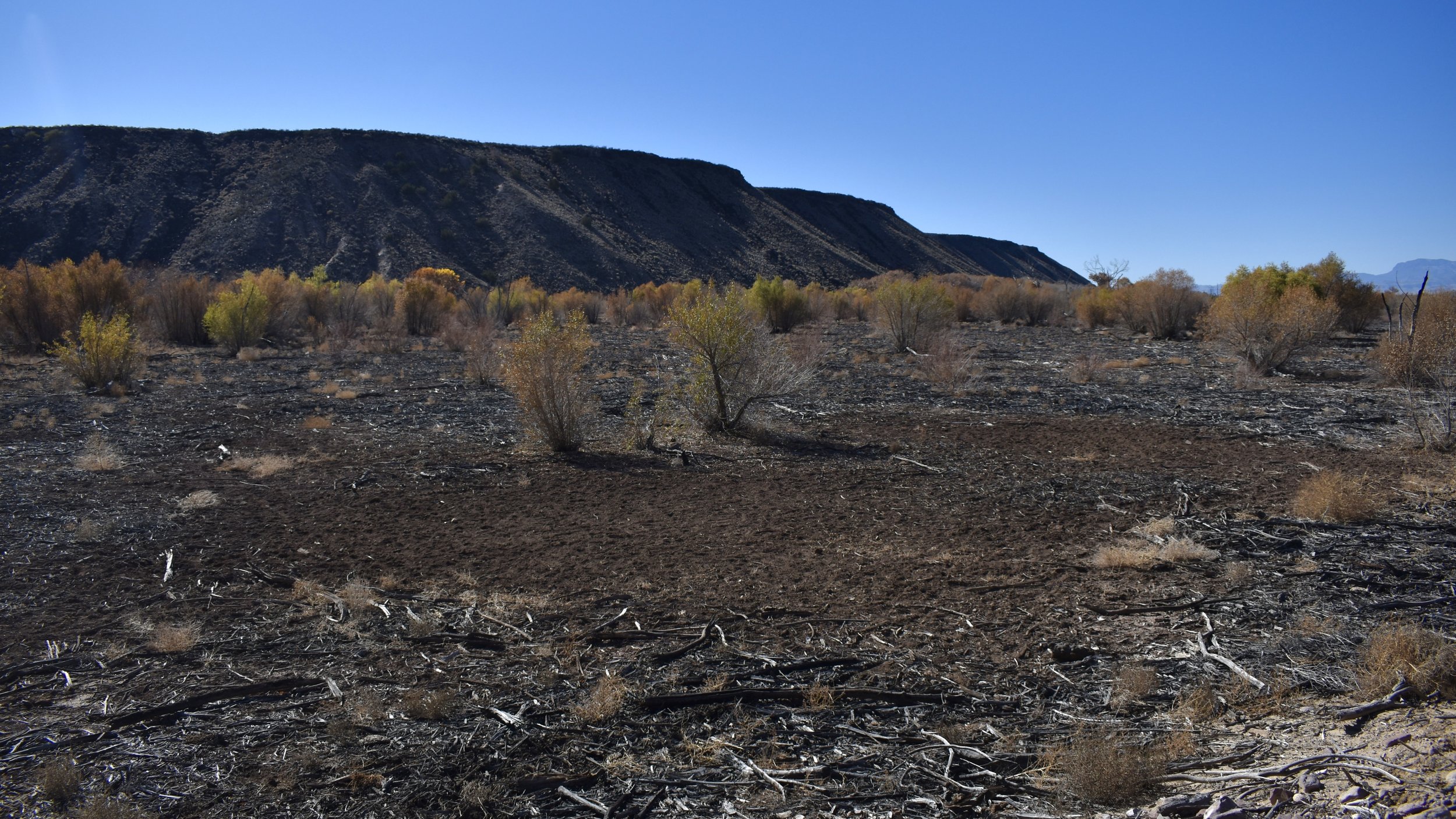
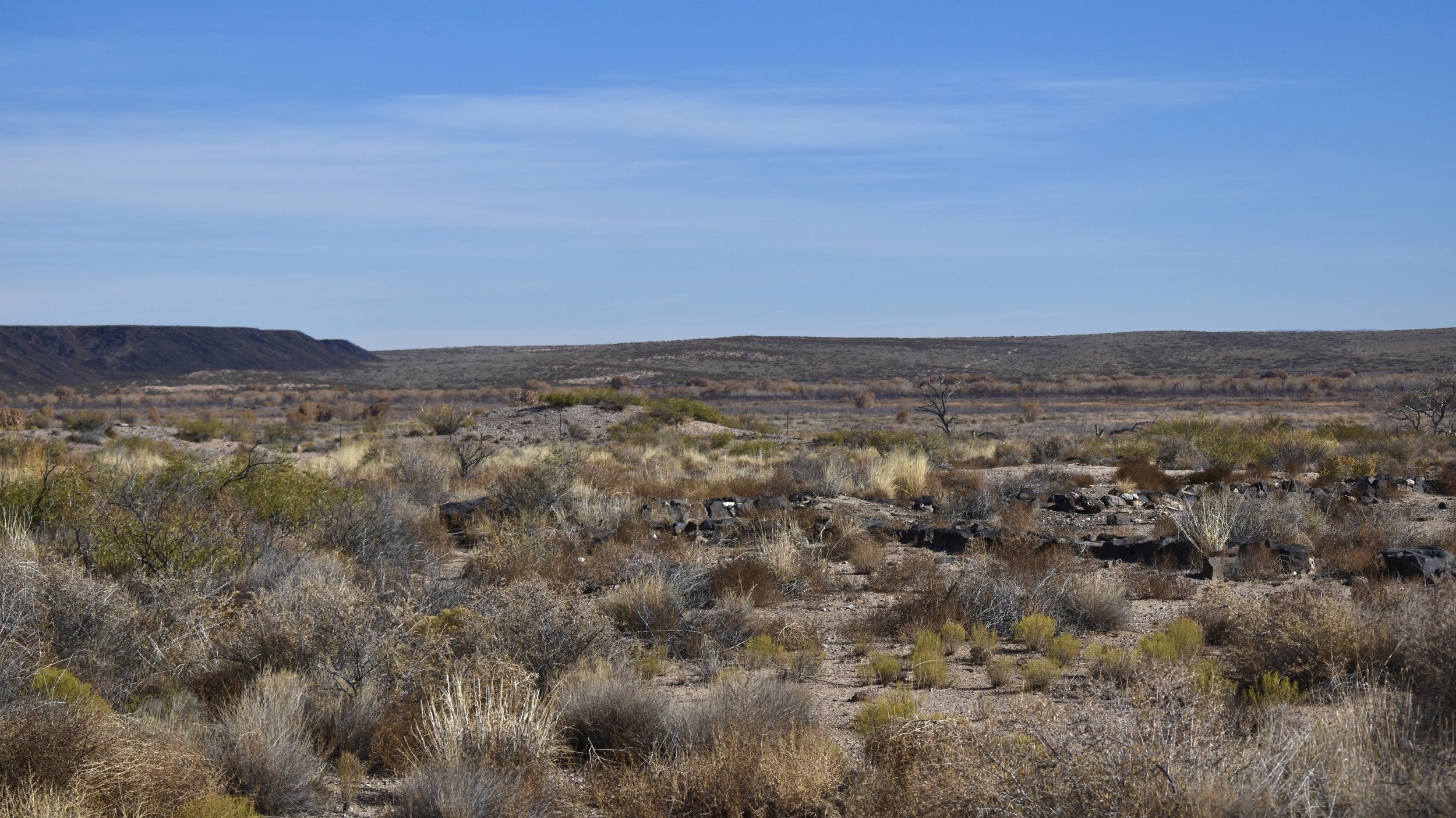
Fort Craig and the Valverde Battlefield are located next to the Rio Grande and I-25 in south-central New Mexico between Truth or Consequences and San Antonito. To the west, the San Mateo mountains loom large and to the east, are the San Andres Mountains and the Trinity Site. Not much remains of the old fort which was built in 1854, but if you know the history of the area, it’s an exciting place to visit. Especially as you look north towards the black volcanic Mesa de la Contadera.
The importance of Fort Craig is most exemplified by what occurred just outside its walls and to the north along the Rio Grande during the Civil War. The first major battle of the Civil War in the Southwest occurred nearby in February of 1862 and that battle is known as the Battle of Valverde. For an in-depth look at that battle, listen to my series over the Civil War in the Southwest. But on that cold February day, the Confederates under Brigadier General Sibley marched to the heavily garrisoned and fortified walls to entice the Yankees to fight on the open field. When they refused, the Rebels marched around the black Mesa de la Contadera where the two sides fought a brutal battle against the Rio Grande. The Confederates would win a hollow victory but afterwards, they’d march to Albuquerque, Santa Fe, and eventually to Glorietta Pass on their mission to create an Imperial Confederacy.
Surprisingly, the Fort was built atop some Ancestral Puebloan Ruins, although I couldn’t find out too much about those ruins. There are a number of other sites nearby that have been in use for thousands of years, including some more modern Ancestral Puebloan villages. Most likely Mimbres or Mogollon. My theory is the Mogollon people who did not travel south with the Anasazi became the Jumanos people. Which themselves disappeared in the 1800s when what few remained of them (after centuries of destruction by the Apache) became Apache. The people that inhabited this area could have also been Piro.
This Fort also served as a staging station for the Army during the wars against the Apache. For an in-depth series over the Apache, listen to my series over the People which will one day be finished.
The fort wasn’t always in this bad of shape but since its abandonment in 1885 after the Indian Wars, looters and salvagers have stripped every single possible useful or exciting thing from the site.


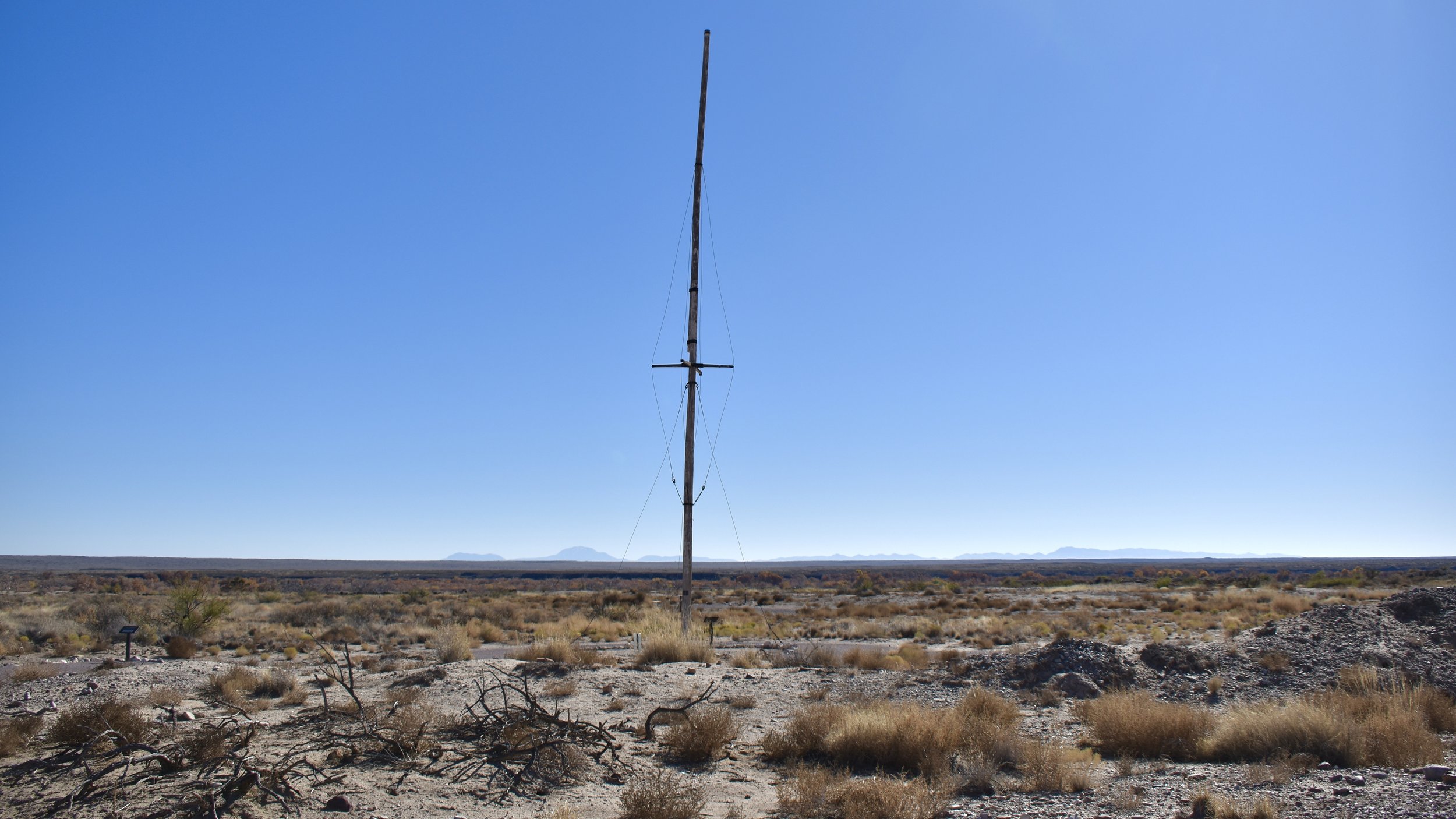


From the fort you can see the route the Rebels took along the Rio Grande to line up against the Yankees before they camped for a few days and then headed north to Valverde, which is on the other side of the black Mesa de la Contadera.
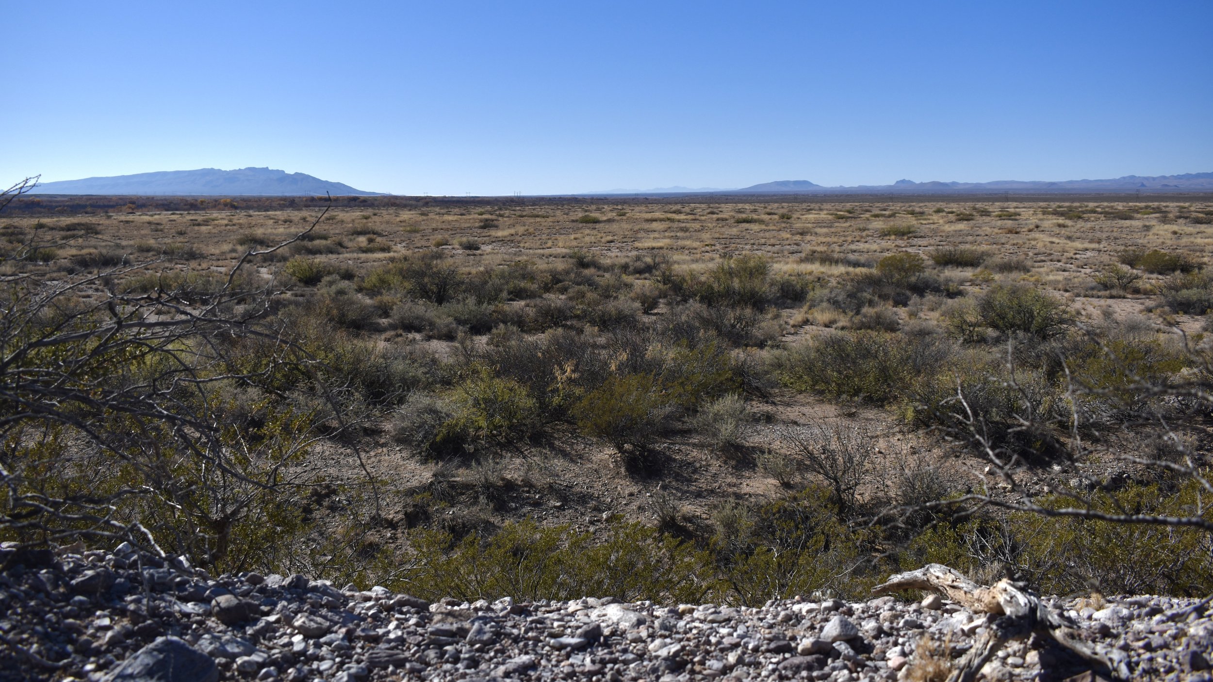


Around six miles north of the Fort, on unpaved gravel roads, across canals, and over train tracks, you can drive very near to the site of the Valverde Battlefield. If you want to trek across the vast floodplain you can actually hike to the Rio Grande and view where the heavy fighting took place. Again, for an in-depth look at the Battlefield, listen to my history series on the Civil War in the Southwest.
