Colorado National Monument
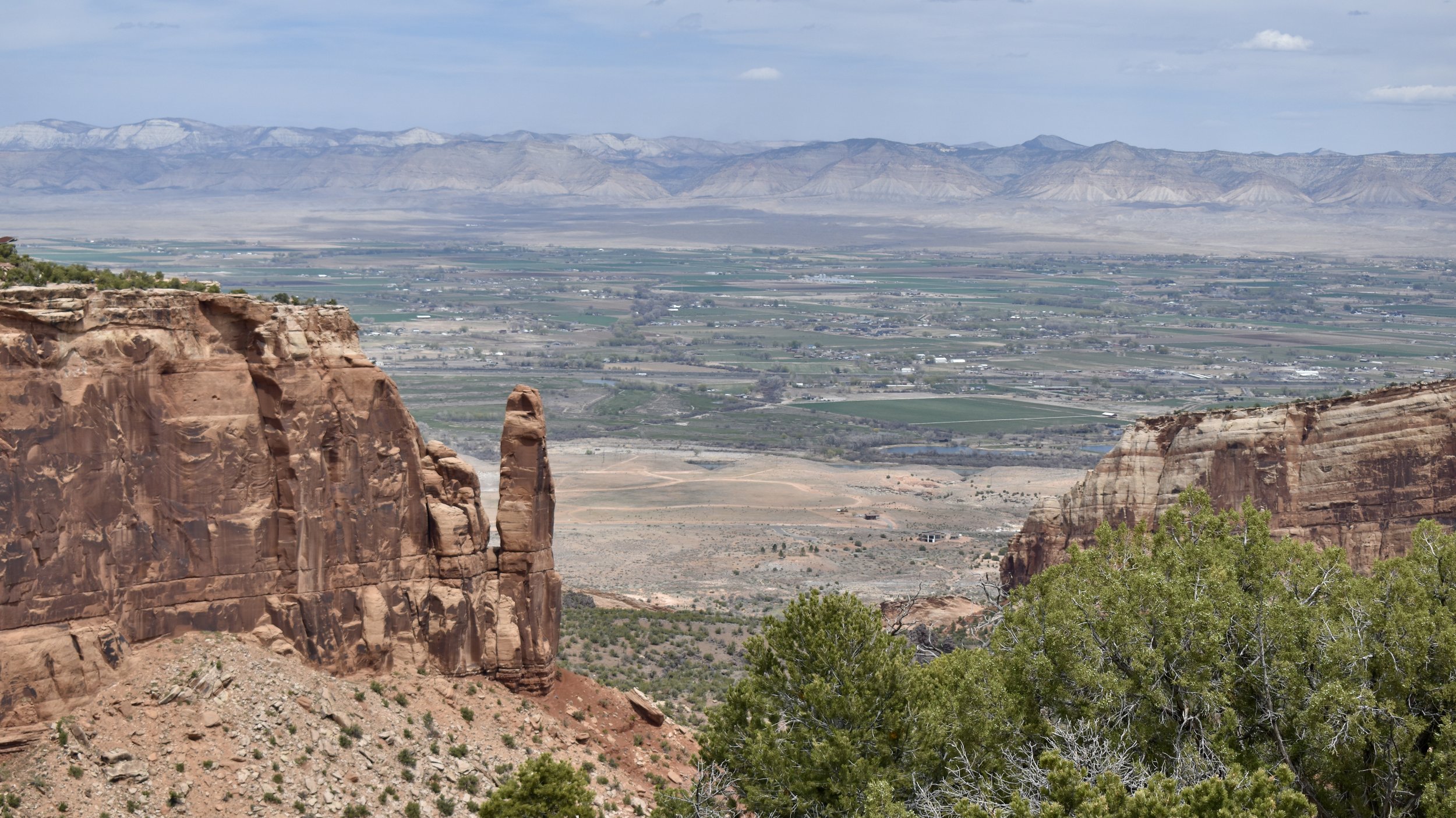
In far western Colorado in between Fruita and Grand Junction lies the magnificent Colorado Plateau spectacle that is Colorado National Monument. It’s got winding roads, breath-taking viewpoints, quite a few trails, plenty of picnic areas, and never ending colorful views of the Colorado River, Grand Valley, the Book Cliffs, and the Colorado Plateau.

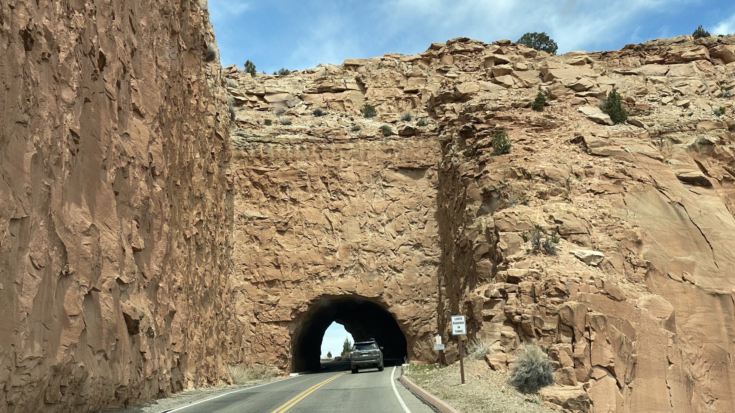
If coming in from the West Fruita Entrance, before too long you’ll be driving through the awesome tunnels before climbing up the Rim Rock Drive. There will be a few viewpoint stops before you reach the Visitor Center and the Book Cliffs View. It’s here where the campground, restrooms, gift shop, and a few small trails lie. The Window Rock Trail (.5 miles roundtrip) and the Canyon Rim Trail (1 mile roundtrip) are just two of the trails that look out over the Monument and its spires of geological formations. There’s also the Alcove Nature Trail (1 mile roundtrip) and the Backcountry Black Ridge Trail (11 miles roundtrip). The Black Ridge Trail is the parks highest trail and lets you see west into Utah’s Canyon Country as well as Grand Valley.


The Next stop on the Rim Rock Drive is Otto’s Trail (1 mile roundtrip) which lets you get close to the Pipe Organ but also lets you see Sentinel Spire and the Independence Monument.


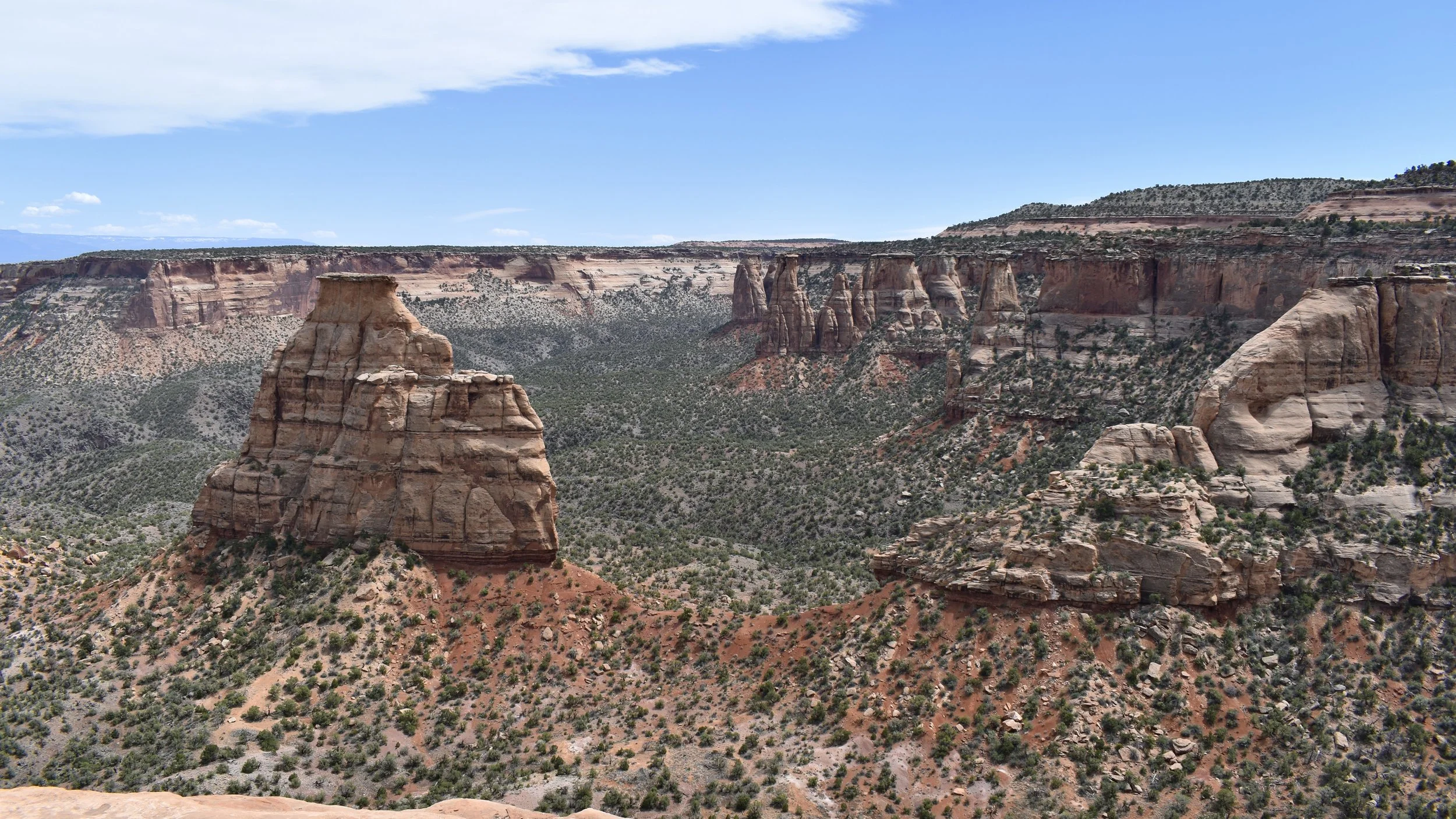
The incredible Independence Monument View is next. There is a hike, the Monument Canyon Trail, that lets you hike below Independence Monument, the Kissing Couple, and the near the Coke Ovens but it is 6 miles one-way from the top to the bottom of the Monument.


Monument Canyon View, Coke Ovens Overlook with the Coke Ovens Trail (1 mile roundtrip), and Artists Point are up next.


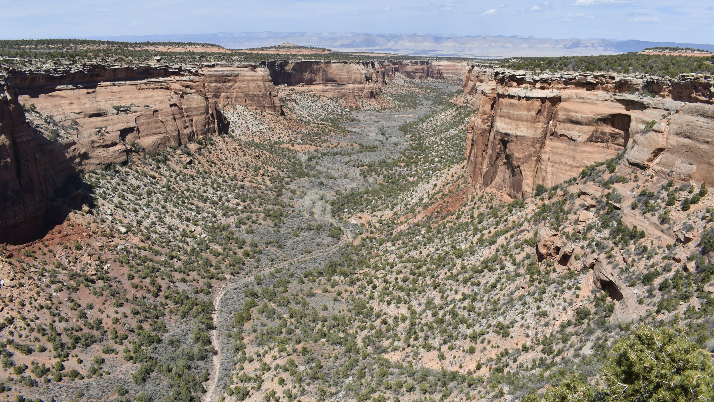
Highland View, Liberty Cap Trail (7 miles one-way down the Monument), Upper Ute Canyon Overlook, Ute Canyon Trail (unmaintained primitive 7 mile one-way trail down the Monument through some water features), The highest point on Rim Rock Drive (6,479 feet above sea level), Ute Canyon View, and Red Canyon Overlook. At either Ute Canyon or Red Canyon Overlook, on the canyon’s opposite wall there is a feature known as Pharaoh’s Sarcophagus which looks exactly as advertised.
You’re now going down the Monument’s eastern section and you’ll be passing Cold Shivers Point, Serpents Trail (1.75 miles one-way down the once road known as “the Crookedest Road in the World), another tunnel, some switchbacks, The Devils Kitchen Trail (1.5 miles roundtrip), and the Devils Kitchen Picnic Area.


After that, the East Grand Junction Entrance becomes your exit unless you turn around and do it all again. The 32 square miles of rugged terrain became a National Monument in 1911, thanks to the efforts of a certain John Otto who would be its first caretaker from then until 1927 for a paltry $1 a month throughout that entire time. He truly loved the land, and I cannot blame him. The Monument’s highest point is 2,000 feet above the already high up Grand Valley of the Colorado River which cuts its way through these parts before carving through eastern Utah and the Canyonlands.


While there you may see Mountain Lions, Coyotes, Desert Bighorn Sheep, the ever present Collared Lizard, and plenty of birds including the Golden Eagle. The Monument was formed by erosion, like so much of the Colorado Plateau. Many of the formations, such as Independence Monument was part of a massive rock wall that ran through the Monument but it slowly eroded as the surrounding canyons became enlarged. Now wind, water, and the sun further erode the awesome sandstone features of the park.
