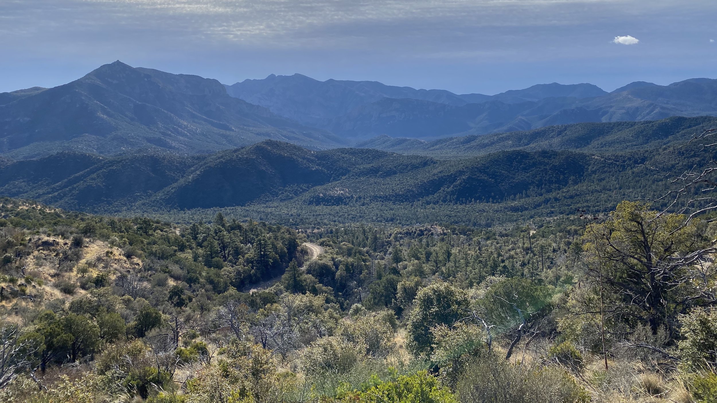
Chiricahua Mountains & Coronado National Forest
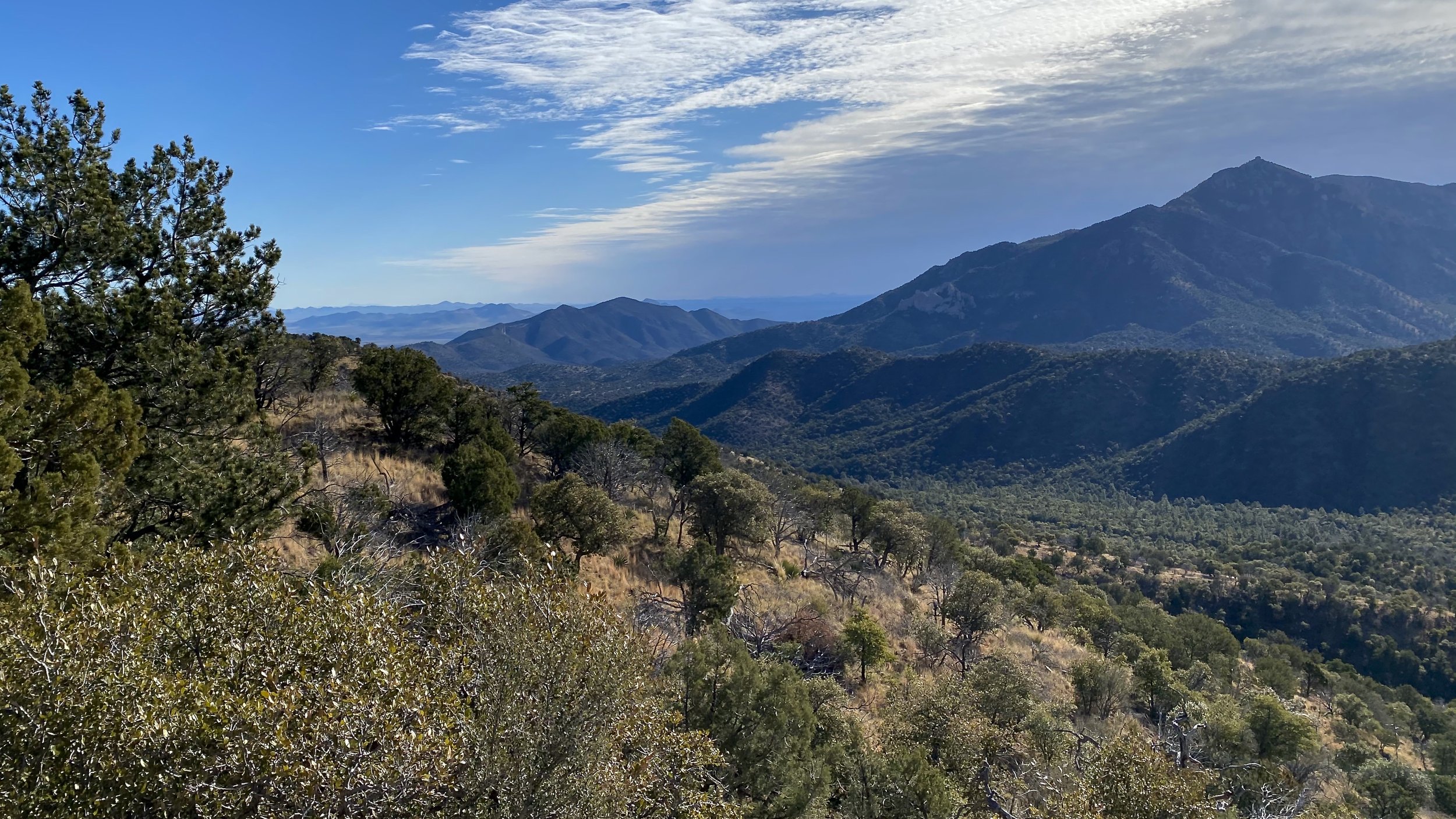
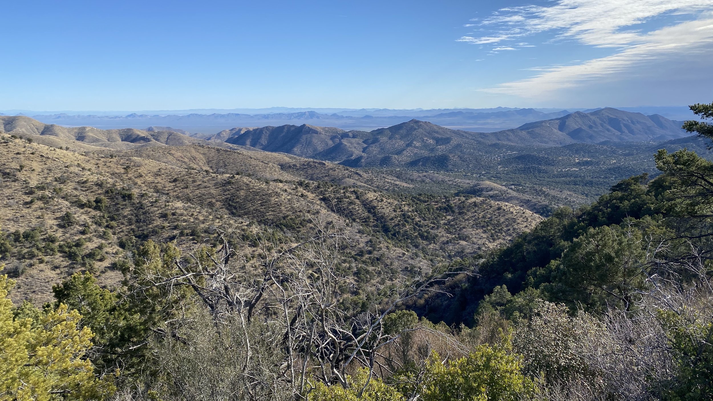
I have traveled through the Chiricahua Mountains (which house the Chiricahua National Monument) in Southeast Arizona, from both the east and the west in the Spring and in the Summer and both times they were incredibly beautiful and a true Sky Island Oasis in the hot Sonoran Desert. While there are endless hikes and exploring and plenty of camping and backcountry roads, the real gem is Portal and the Cave Creek Area. Portal really is a fantastic name because it feels like going through one when driving from the desert basin floor to the gorgeous cliffs and peaks like Buena Vista and Chiricahua Peak. For a great trail and area map, the Green Trails Maps No. 2934S is an exceptional resource.
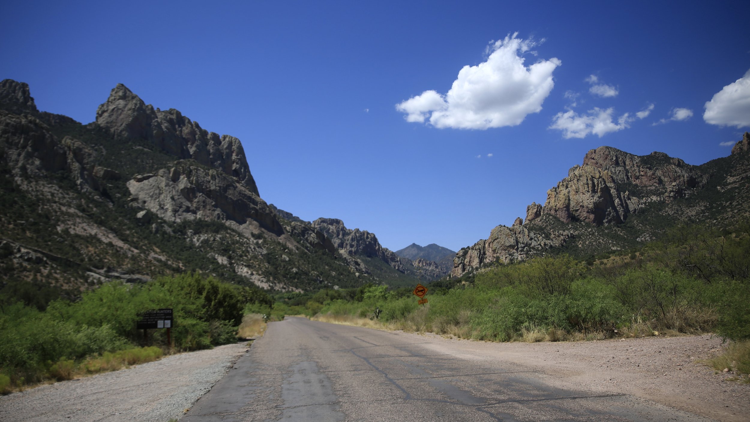
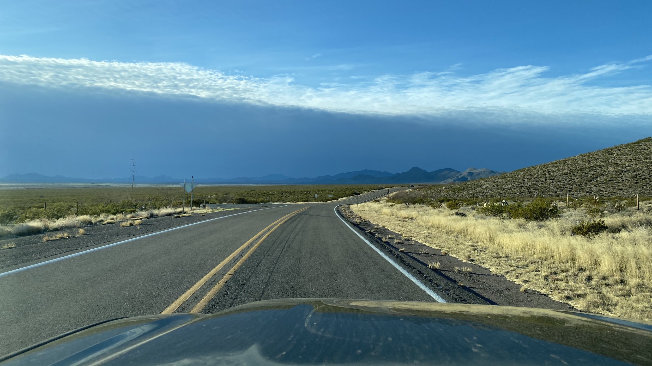
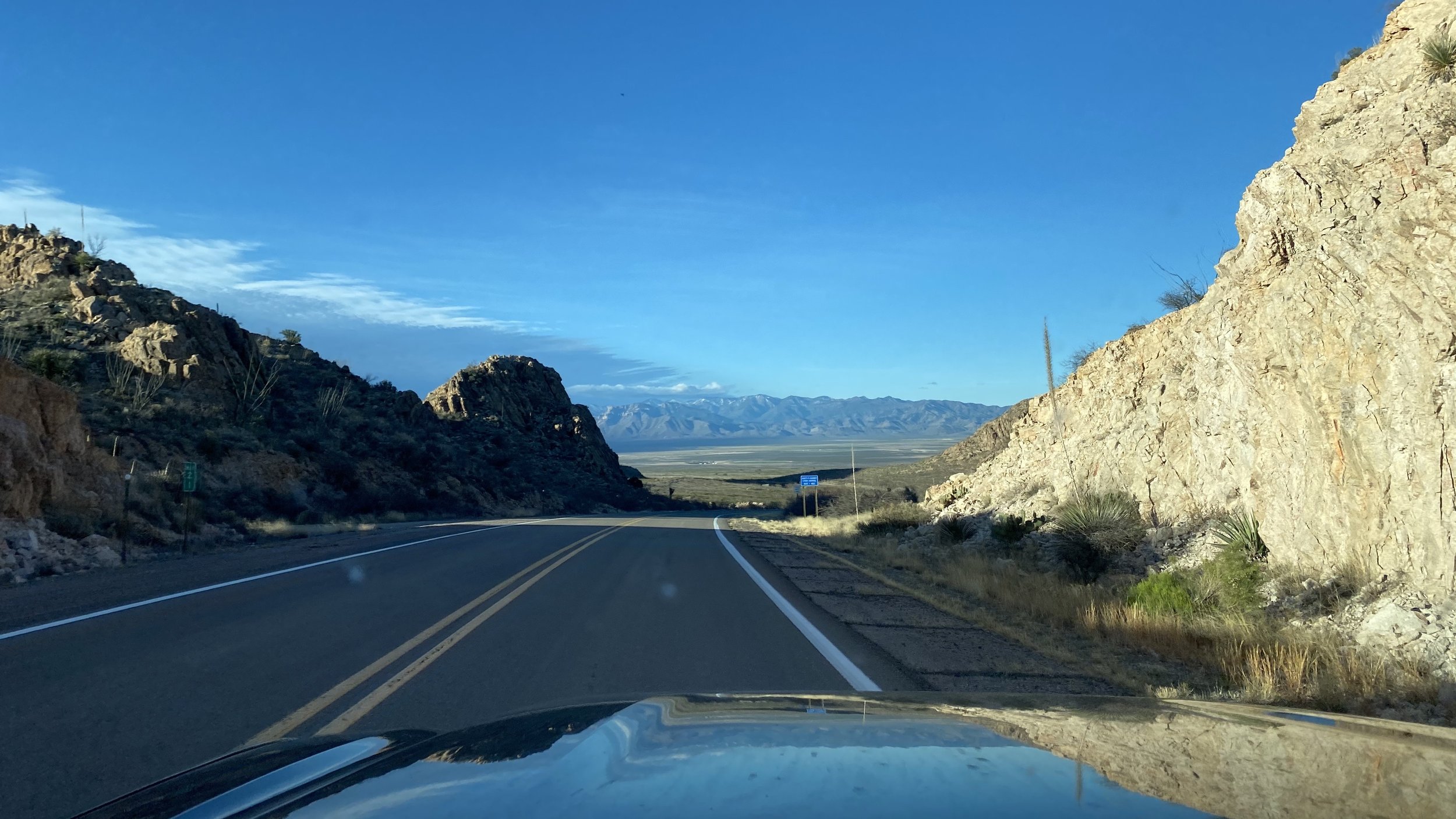
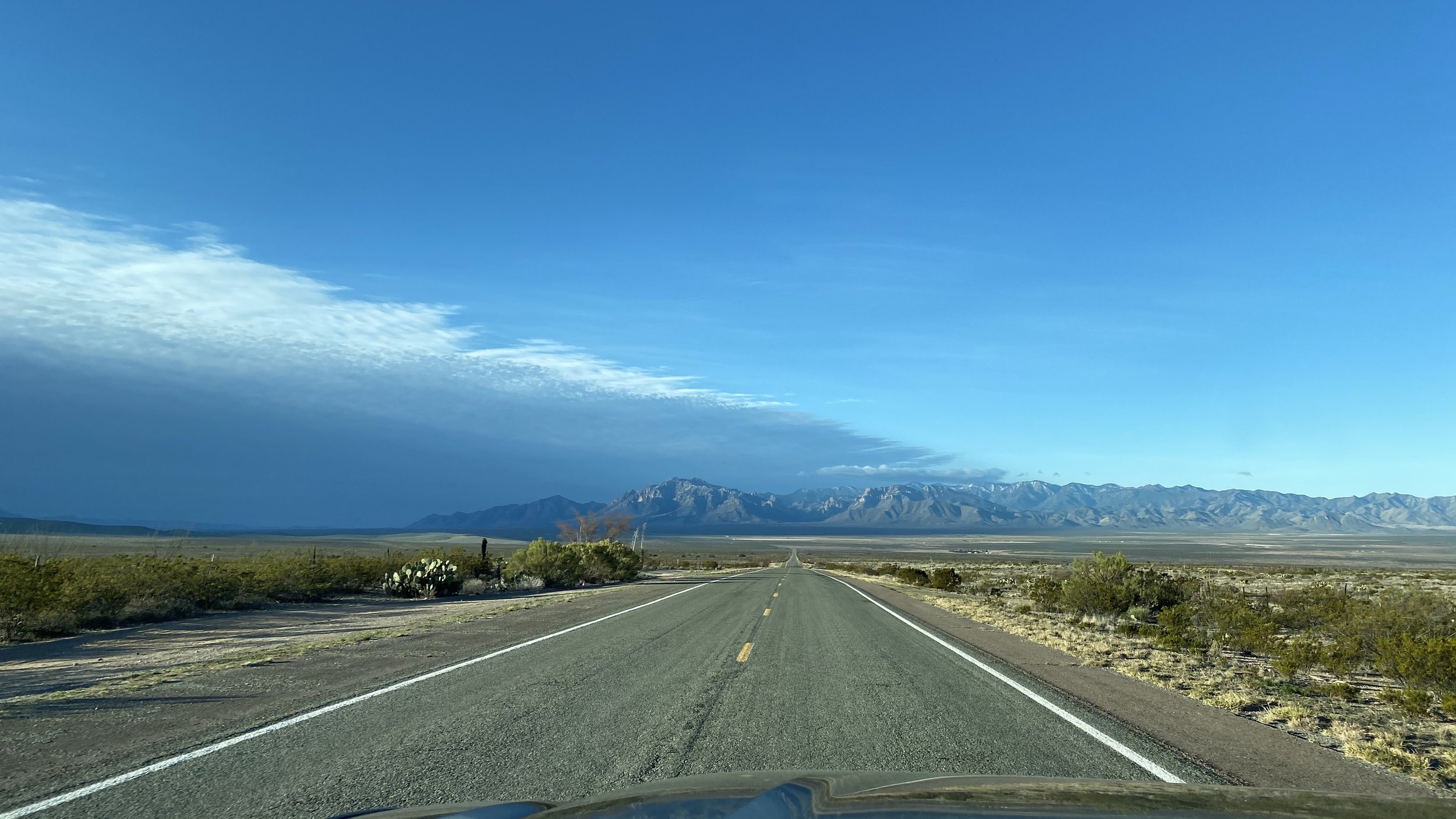
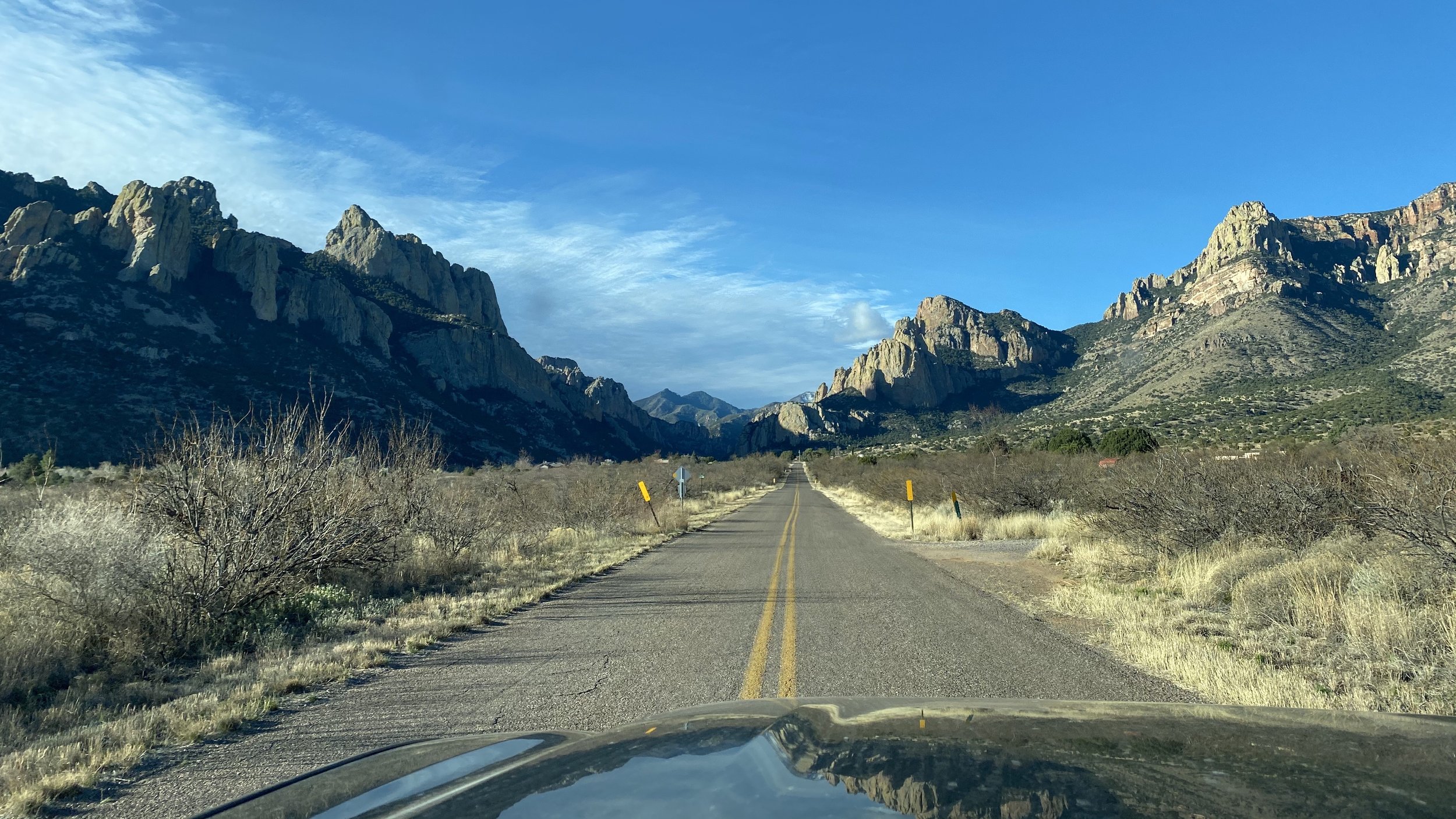
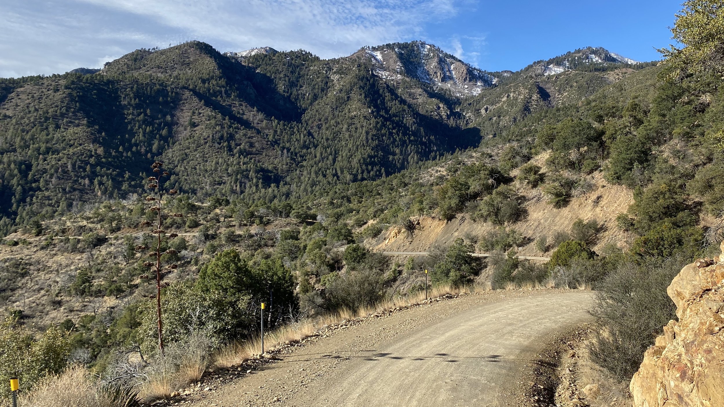
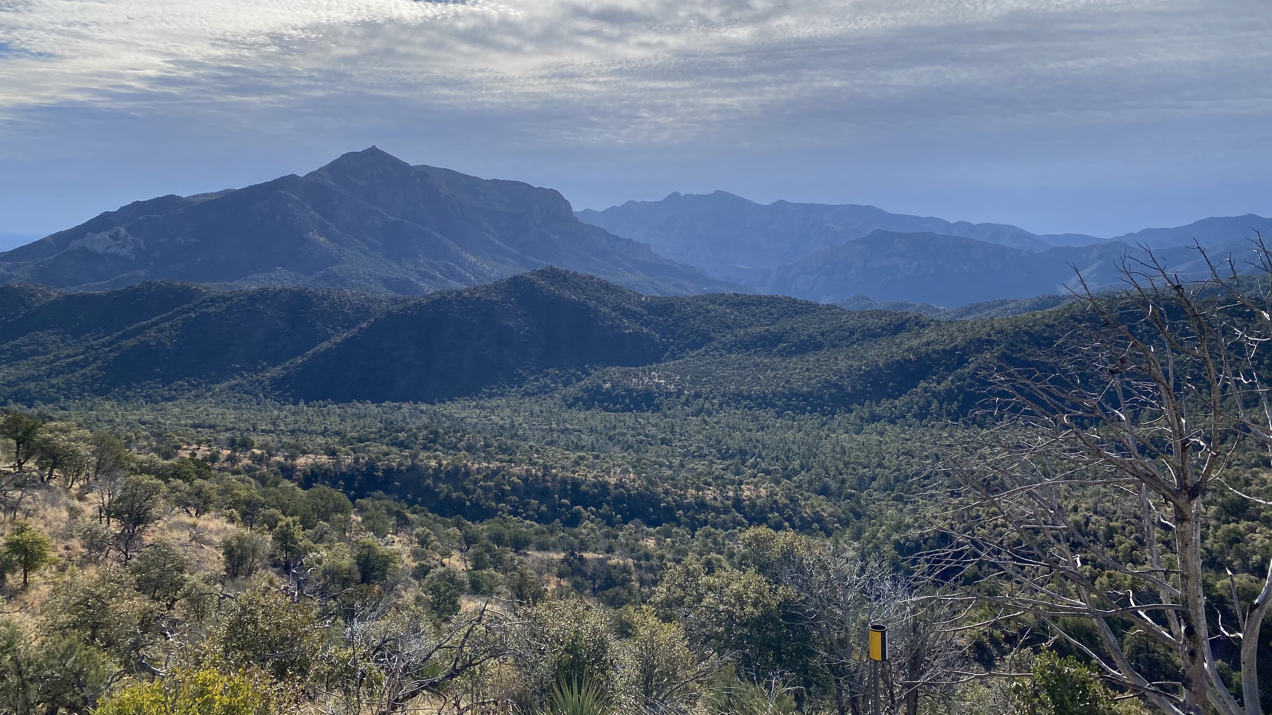
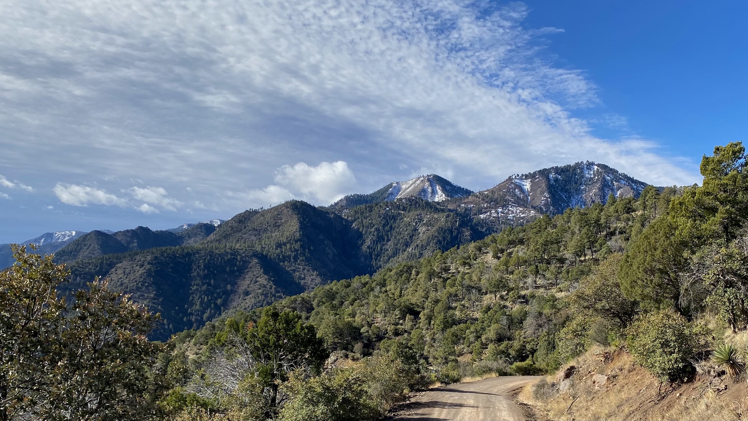
From Portal I took Forest Road 42 up to the snow covered peaks that had incredible views of the land to the east and north before heading back down the sharp and treacherous switchbacks through heavily forested and rocky woods towards Chiricahua National Monument.
There’s a ton of campgrounds and hikes in those mountains and I can’t wait to explore them all. But be warned, I did get a flat tire from a sharp rock on Forest Road 42. Thankfully, the people of Portal were extremely helpful and kind. While my wife and I ate at the delicious and refreshing Portal Peak Lodge and Cafe (I had a fantastic Breakfast Burrito), someone (Mohawk!) offered to plug my tire, they filled that tire with air, and then gave me detailed directions to the nearest place to fix my tire. It was truly a pleasure.


At Portal you can hike to Cathedral Rock or the famous Fingers and Silver Peak. Deeper through the portal, past the Ranger Station, the Idlewilde, Stewart, & Sunny Flats Campgrounds is the Southwestern Research Station which I have stopped twice in. There you can buy snacks, literature, souvenirs, and awesome hats with Rattlesnakes on them (I have bought all those things).





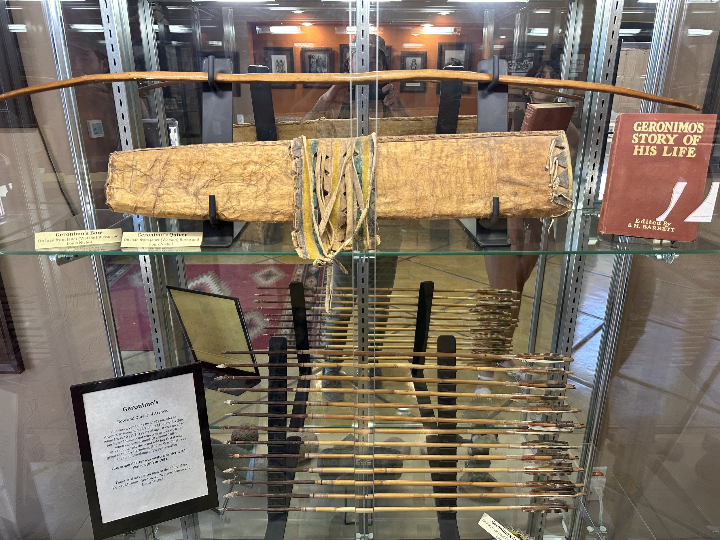
In nearby Rodeo, New Mexico, just east of the mountains and the Arizona Border is a great little museum known as the Chiricahua Desert Museum. Not only there is there a huge Herpetarium filled with all sorts of desert snakes, lizards, turtles, and tortoises, but there’s also a small annex with information on the Ancient Ones and the Apache. They even had Geronimo’s bow and arrow quiver. Plus there were tons of awesome taxidermied desert mammals like Lions, Bighorn Sheep, and even a Bison. Don’t miss the garden as well! And the gift shop had plenty of art, literature, and American Indian Jewelry.
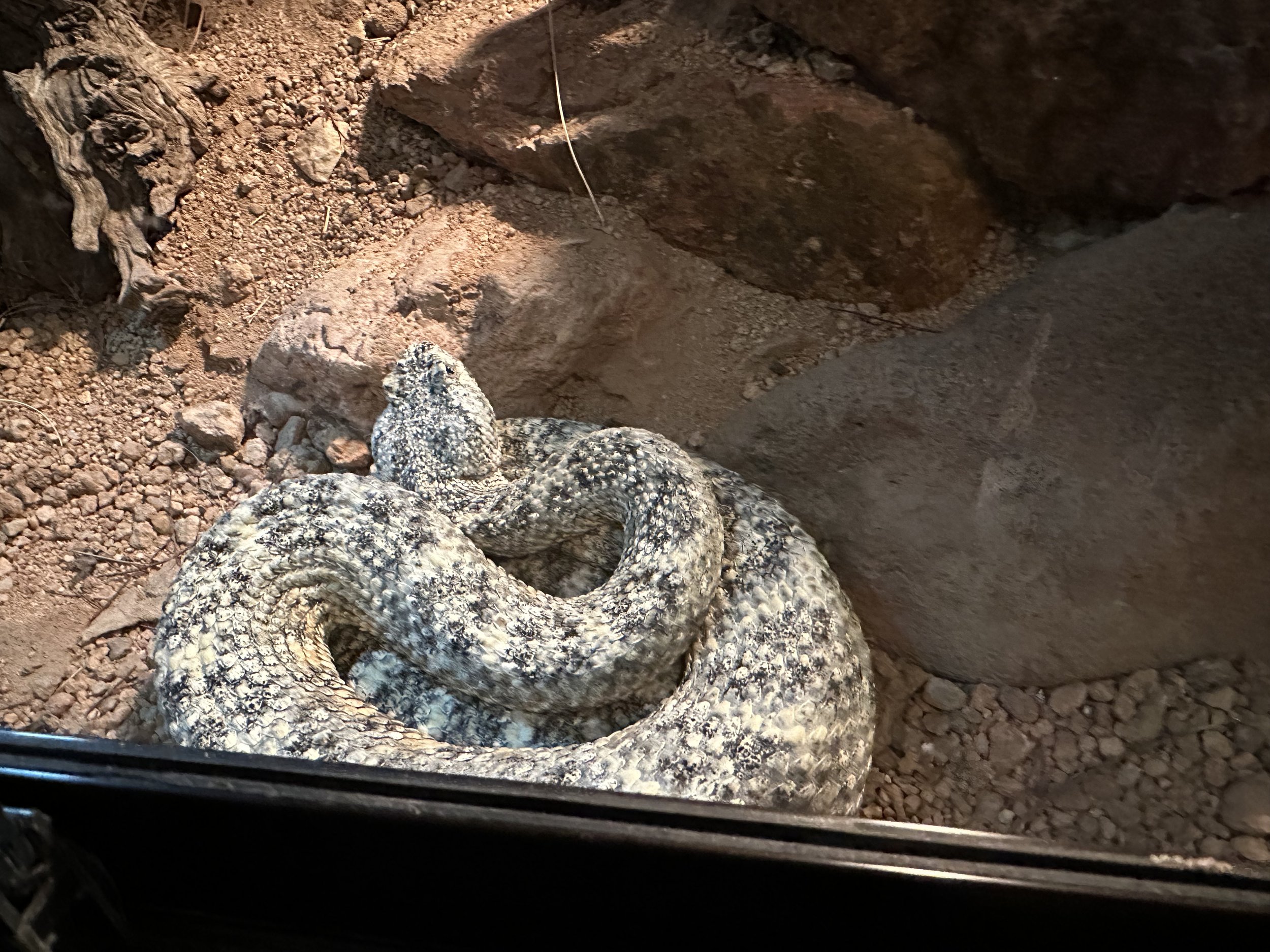
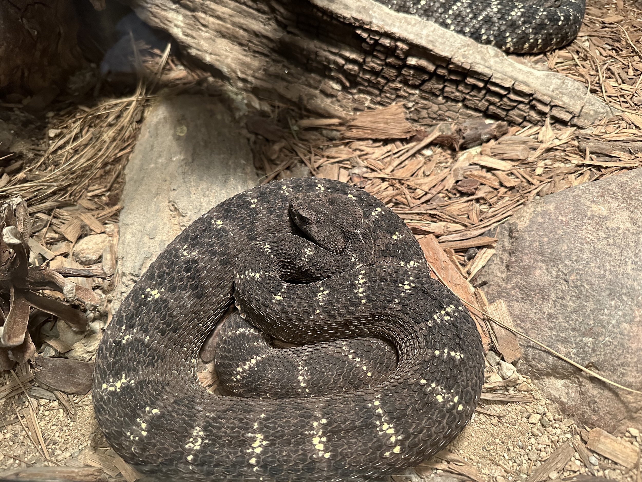
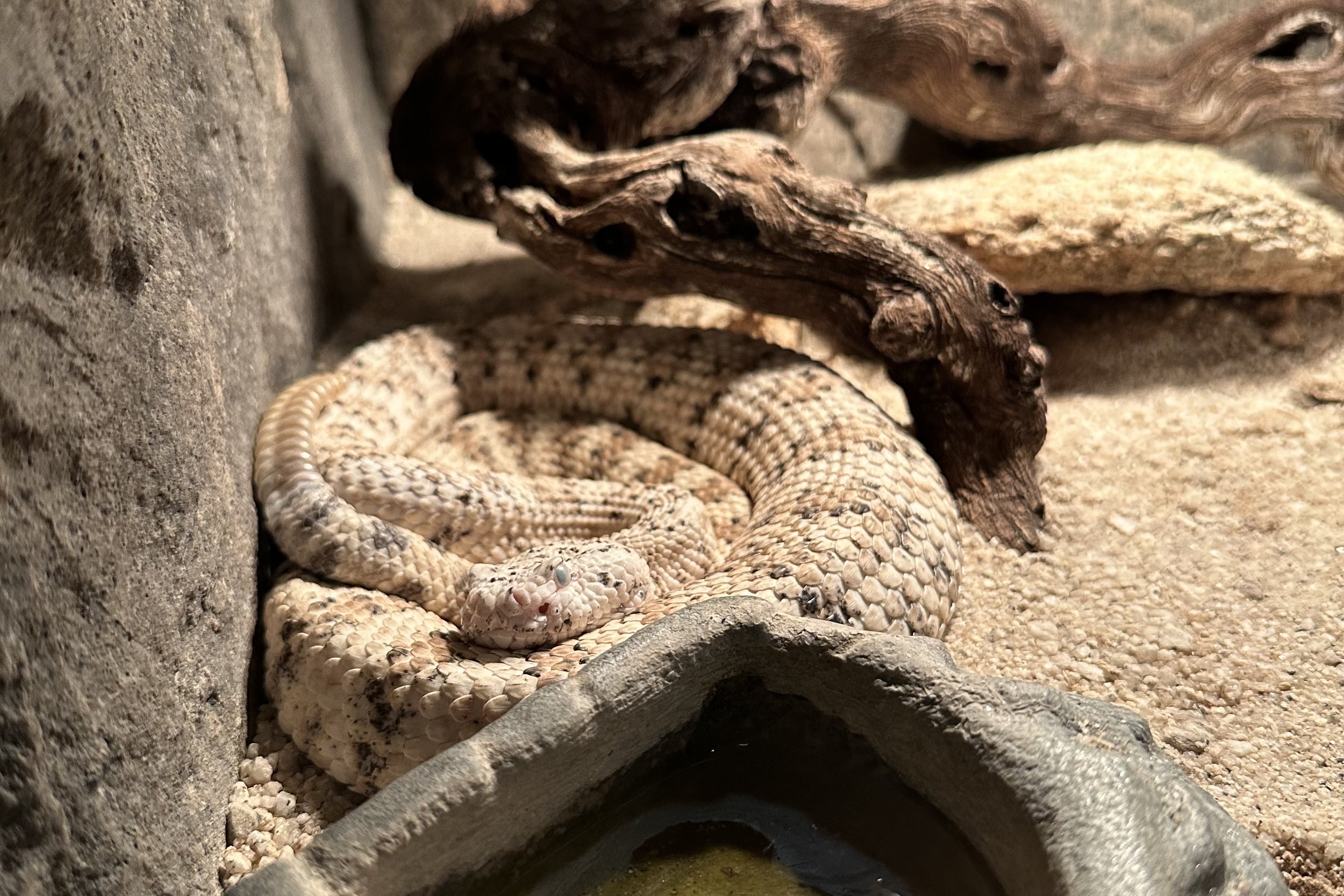
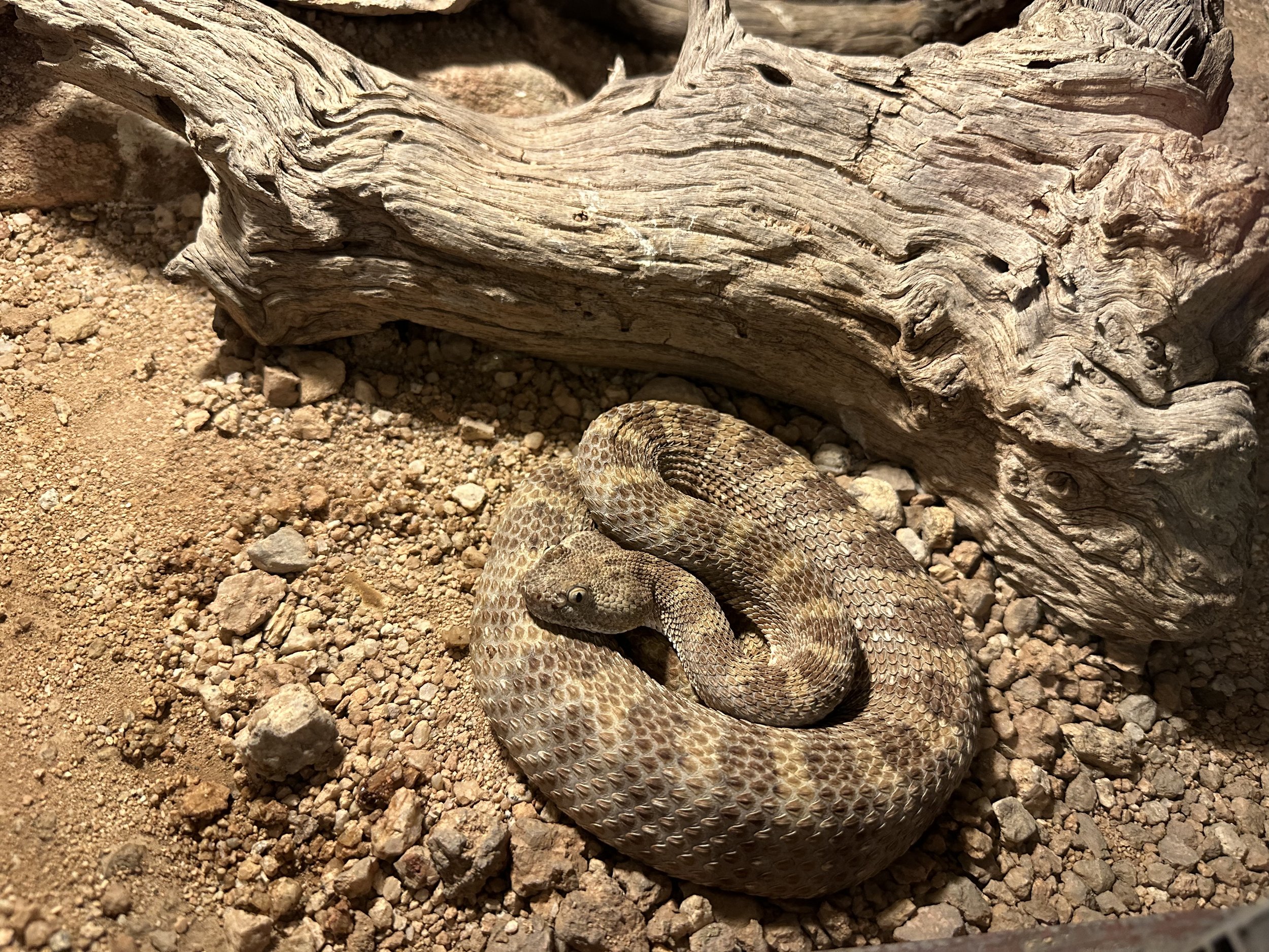
On the northern end of the mountains lies the Fort Bowie National Historic Site and Dos Cabezas Peak. The two peaks reminded me of my late great dog, Echo’s head and ears.
Before the Chiricahua Apache came to the area there were the Chaco Anasazi Ancestral Puebloan cousins the Mogollon. Many would probably head in an easterly direction after a cultural upheaval i’ve dubbed the Anasazi Civil War. Those migrants may have possibly became Rio Grande Puebloans, Zuni, or Acoma Puebloans. But the ones that stayed would morph again into the Salado culture. The Salado were a further evolution of the Chacoan Anasazi who were incorporating far more Mesoamerican ways of life, beliefs, and customs into their every day. They then headed down south to Paquime when the entirety of the region north was “abandoned”. Some of the Pueblos in the area from the Mogollon had over 100 rooms. Before the Mogollon, the Ancient Ones, the Mammoth Hunters, occupied the banks of the massive lakes that existed before they dried up in the Altithermal. The Apache arrived just before the Spanish and then the Americans were the last to be in the area.

