Scenic Roads
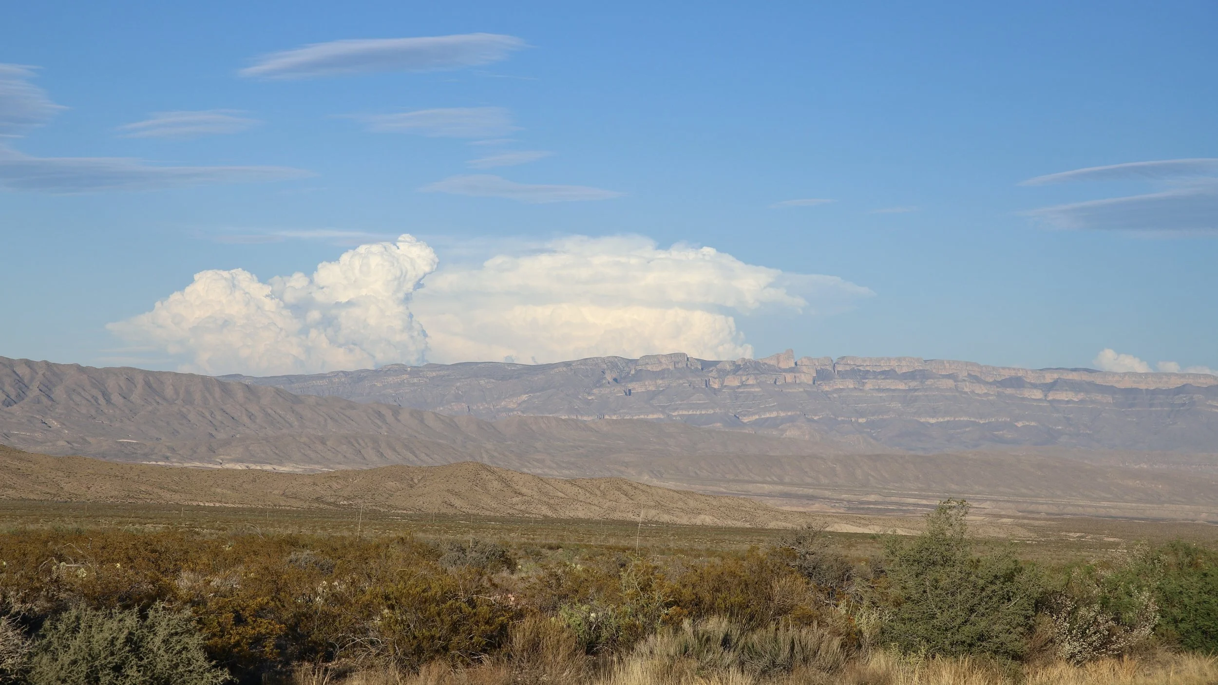
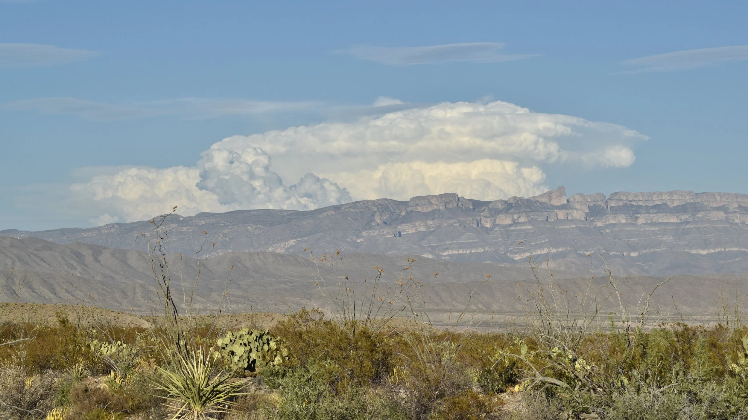
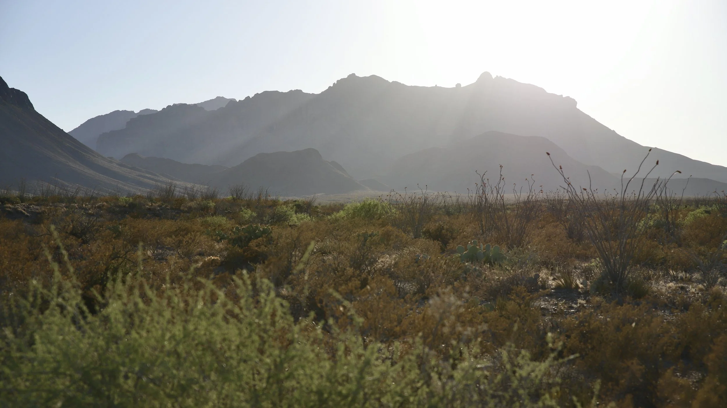
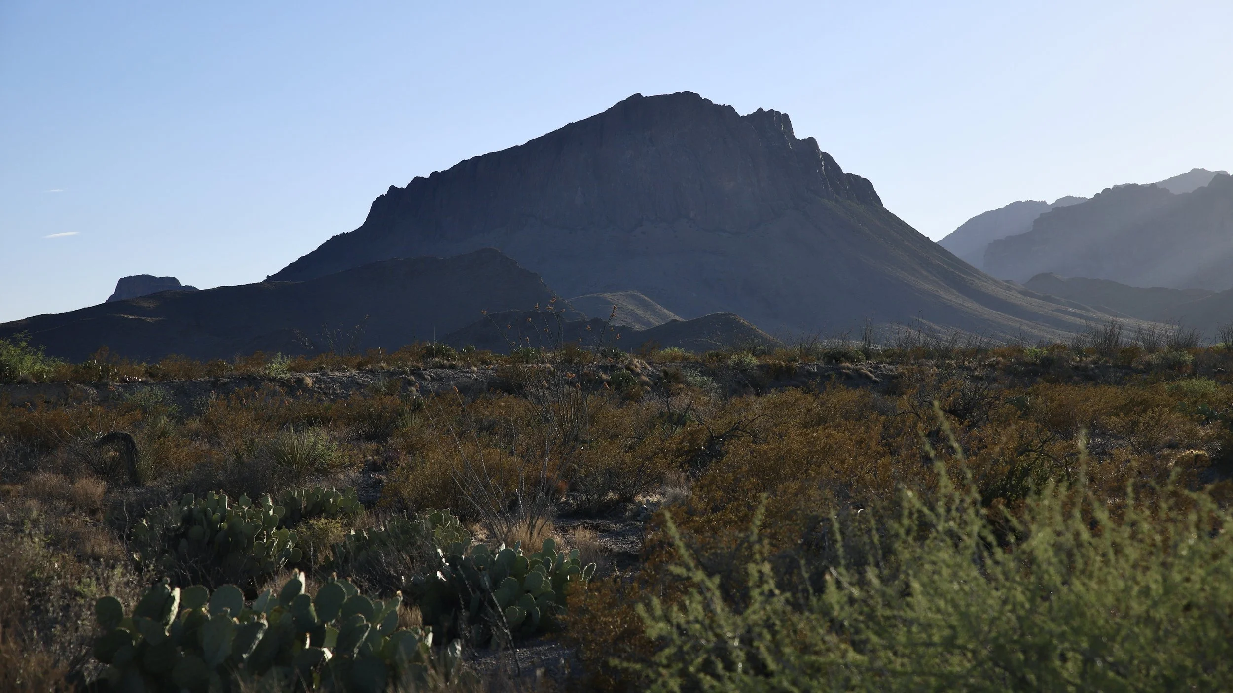
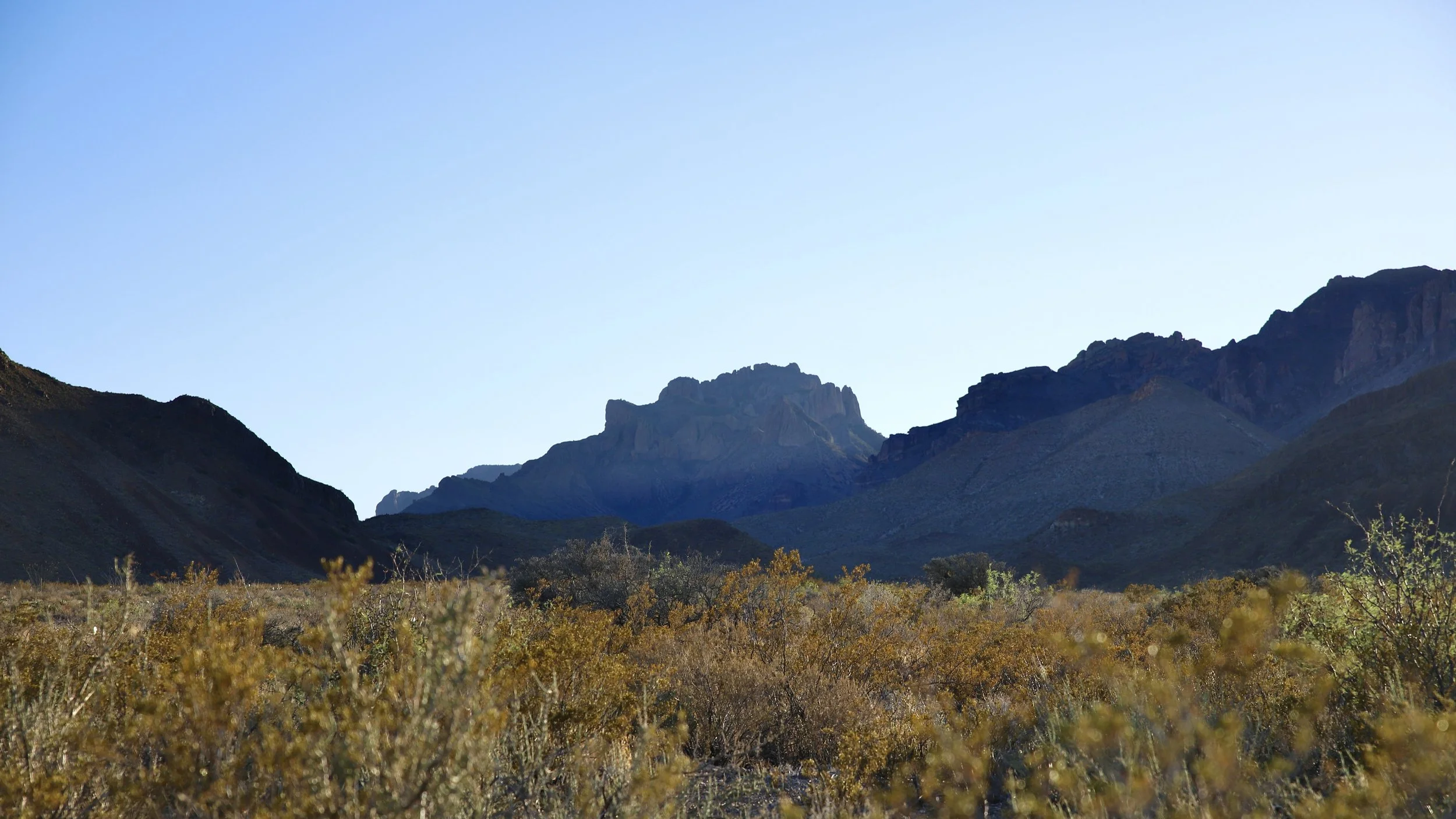
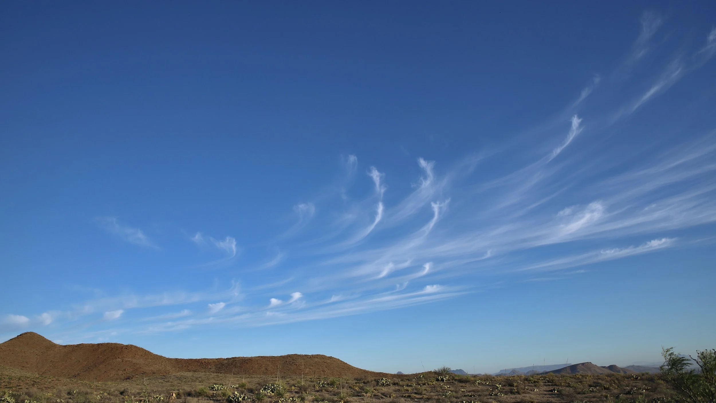
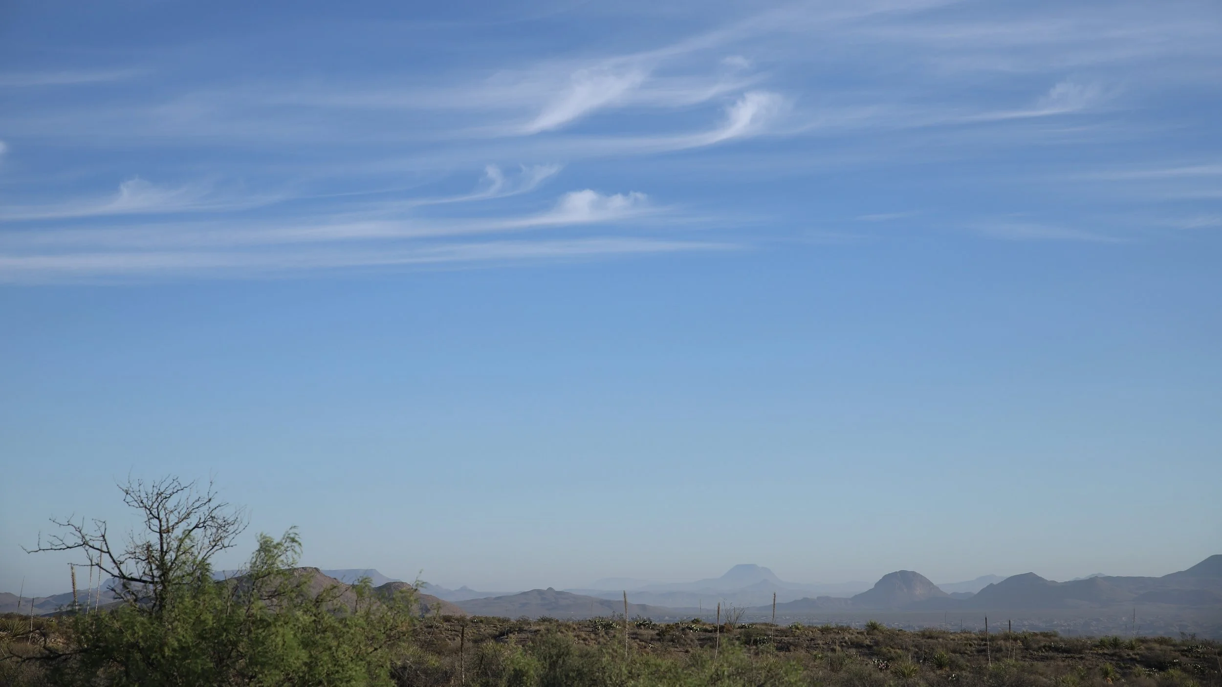
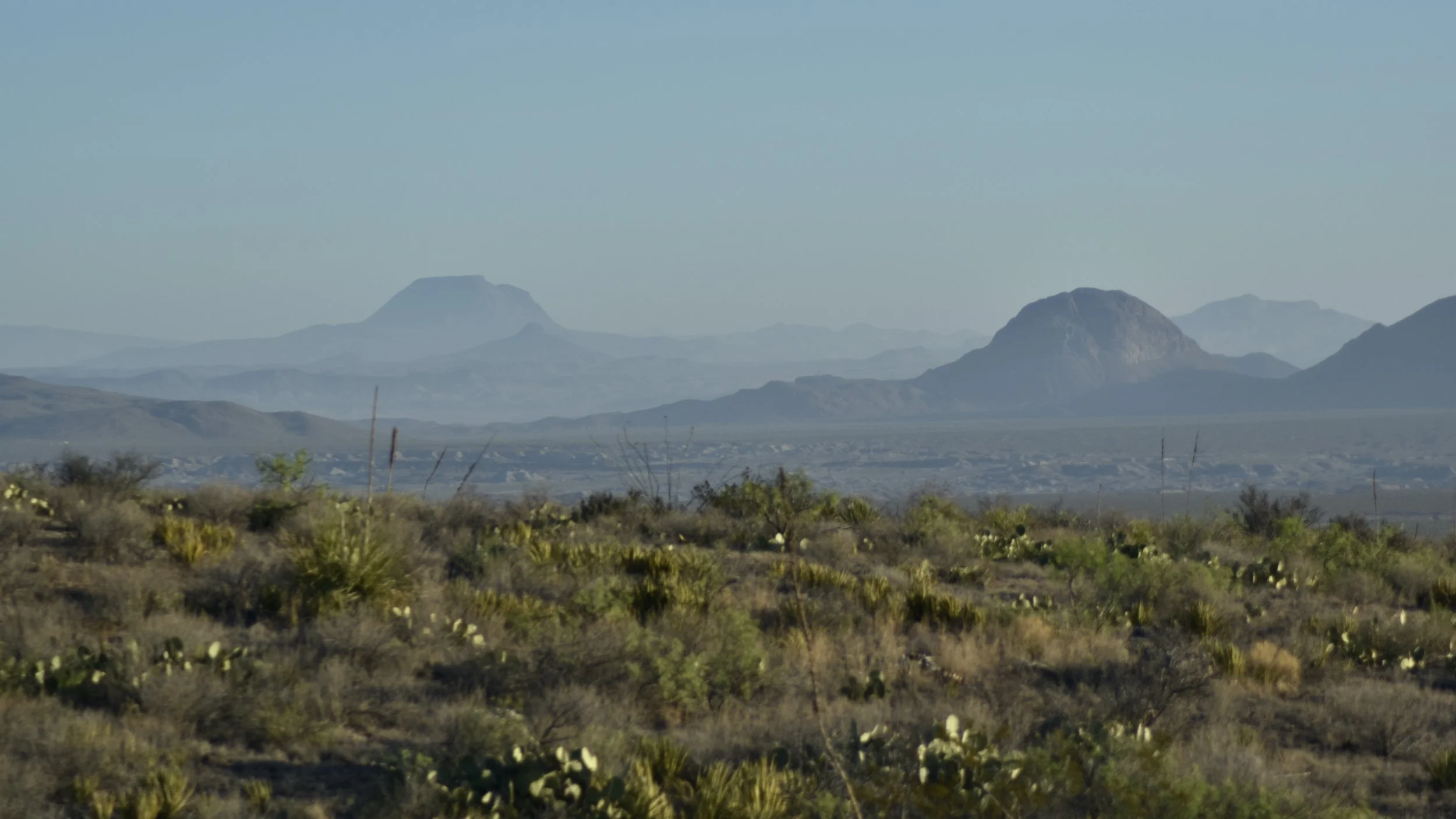
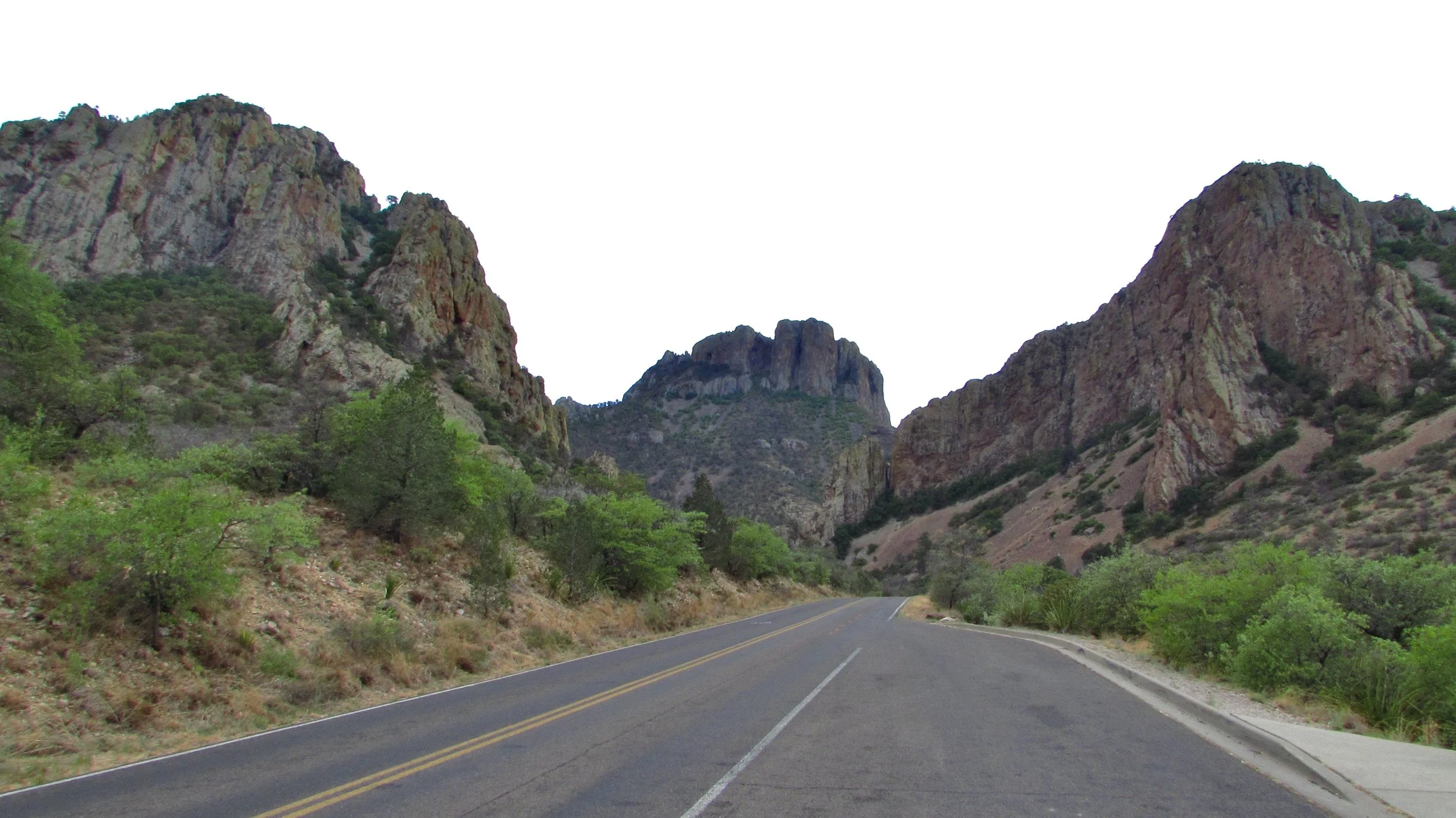
In Big Bend National Park there are over 108 miles of paved & beautiful Scenic Roads that wind to the Rio Grande through mountains, passes, basins, deserts, and more. The view from the various roads are non-stop gorgeous with far-off mountains, cliffs, volcanic features, named peaks, endless vistas, and if you’re lucky, a giant distant thunderstorm.
There are really only two named paved roads in the park and those are the Ross Maxwell Scenic Drive and the Chisos Basin Roads. The main Big Bend National Park road is curiously unnamed as far as I can tell, but it consists of three parts: The Rio Grande to Panther Junction Section in the east, the Persimmon Gap to Panther Junction Section in the north, and the Maverick Entrance to Panther Junction Section in the west.
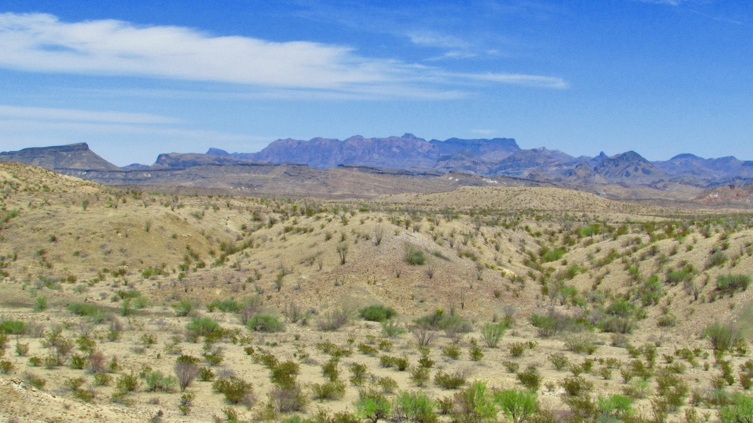
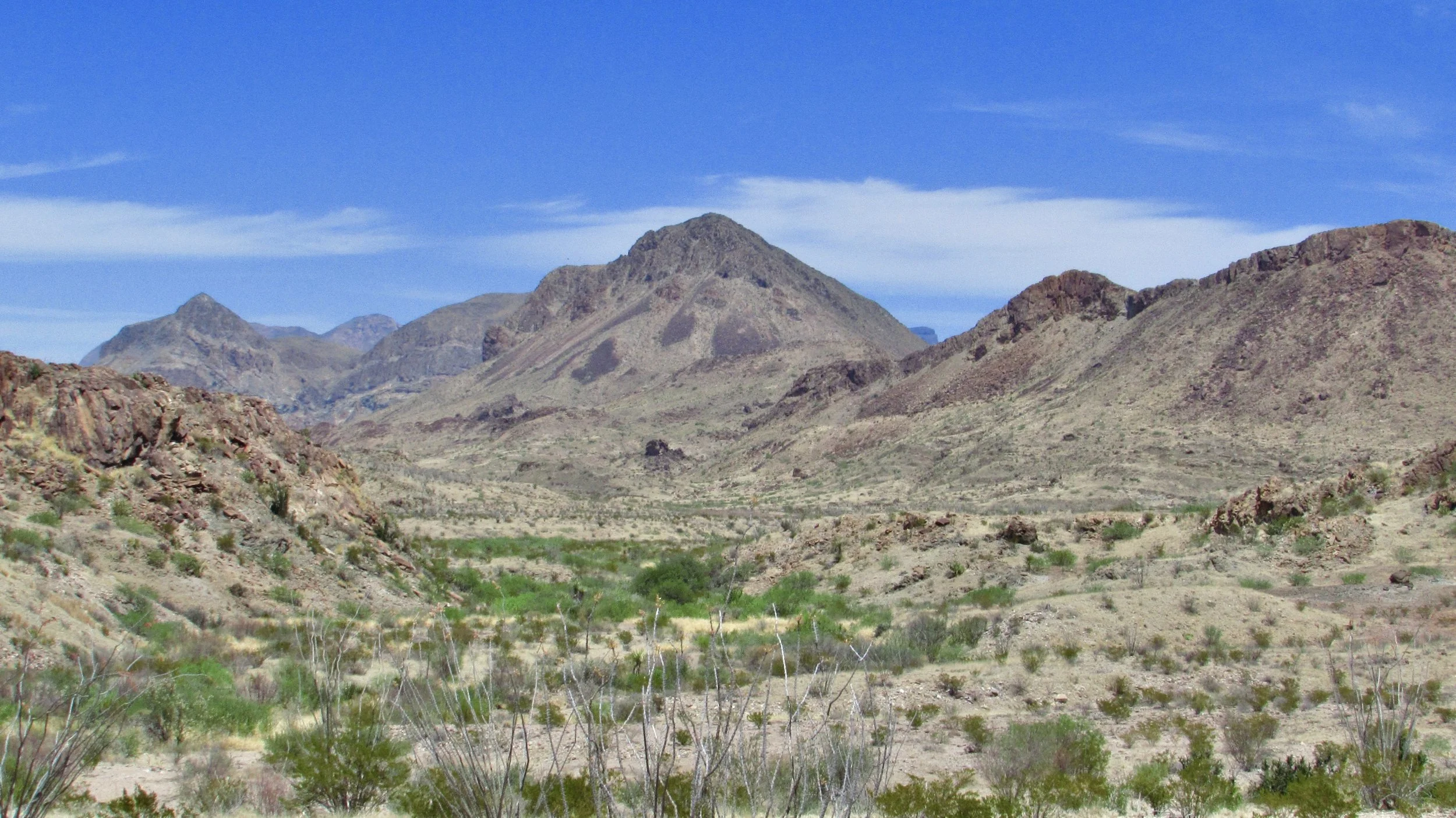
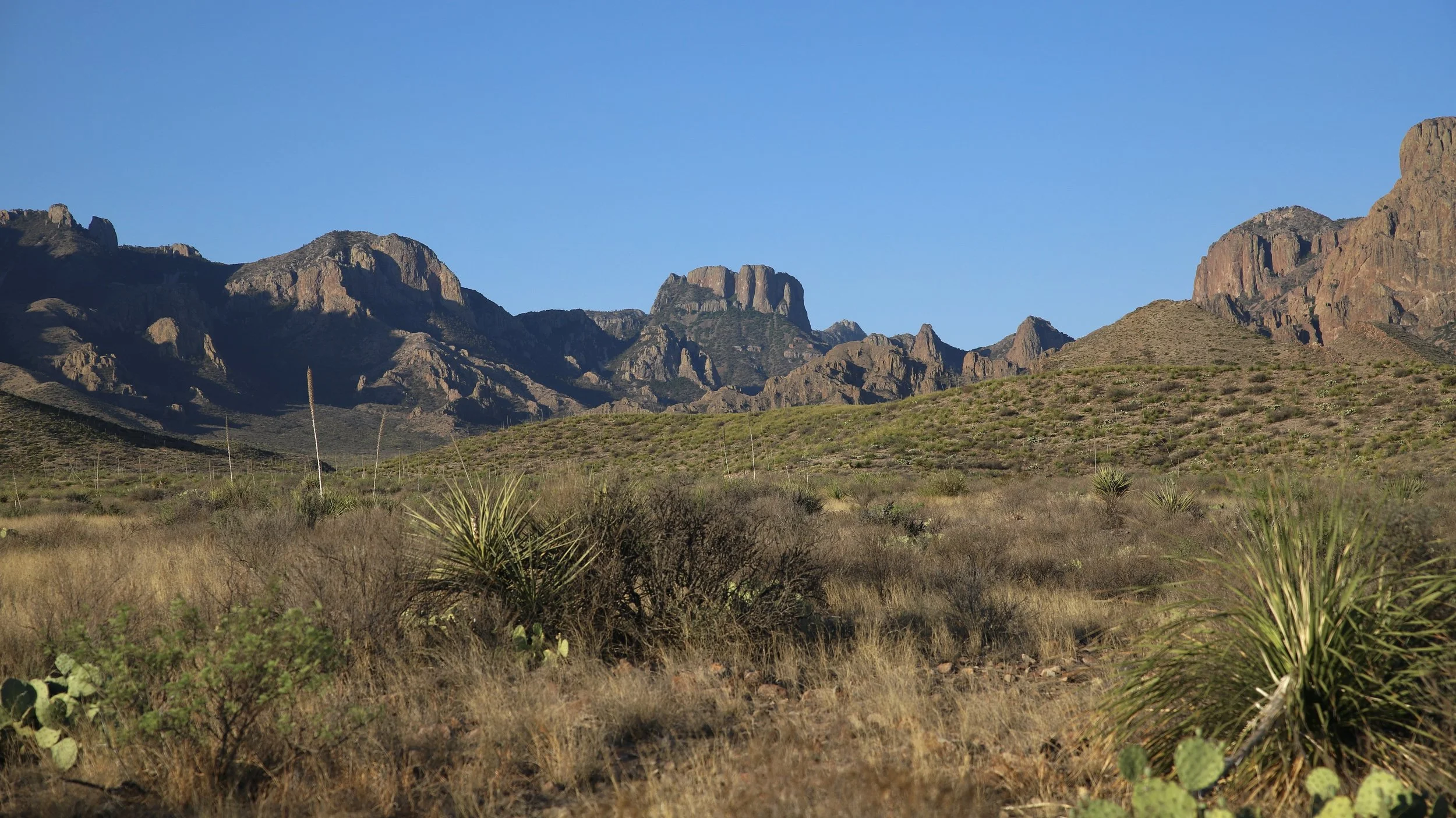
From the Maverick Junction Section you can go on the unpaved Old Maverick Road, the paved Ross Maxwell Scenic Drive, and the Chisos Basin Road which takes you up to the top of the park. This section of the road is 23 miles long and along the way you’ll see Burro Mesa, the Christmas Mountains, and of course, the Chisos Mountains which sit in the center of the park. Along the way you’ll also find the turn-offs for the Croton Spring camping, Paint Gap camping, and Grapevine Hills camping.
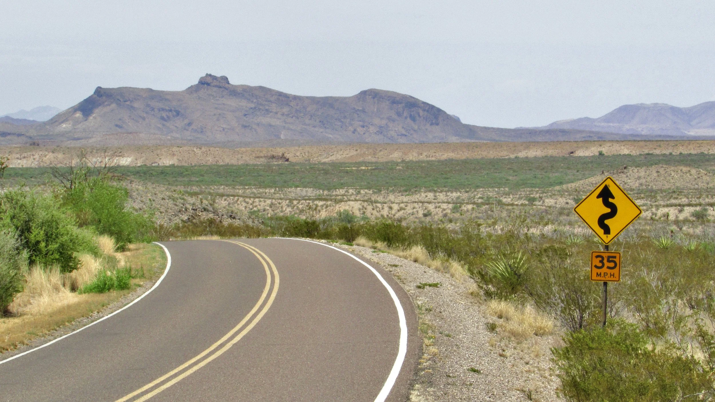
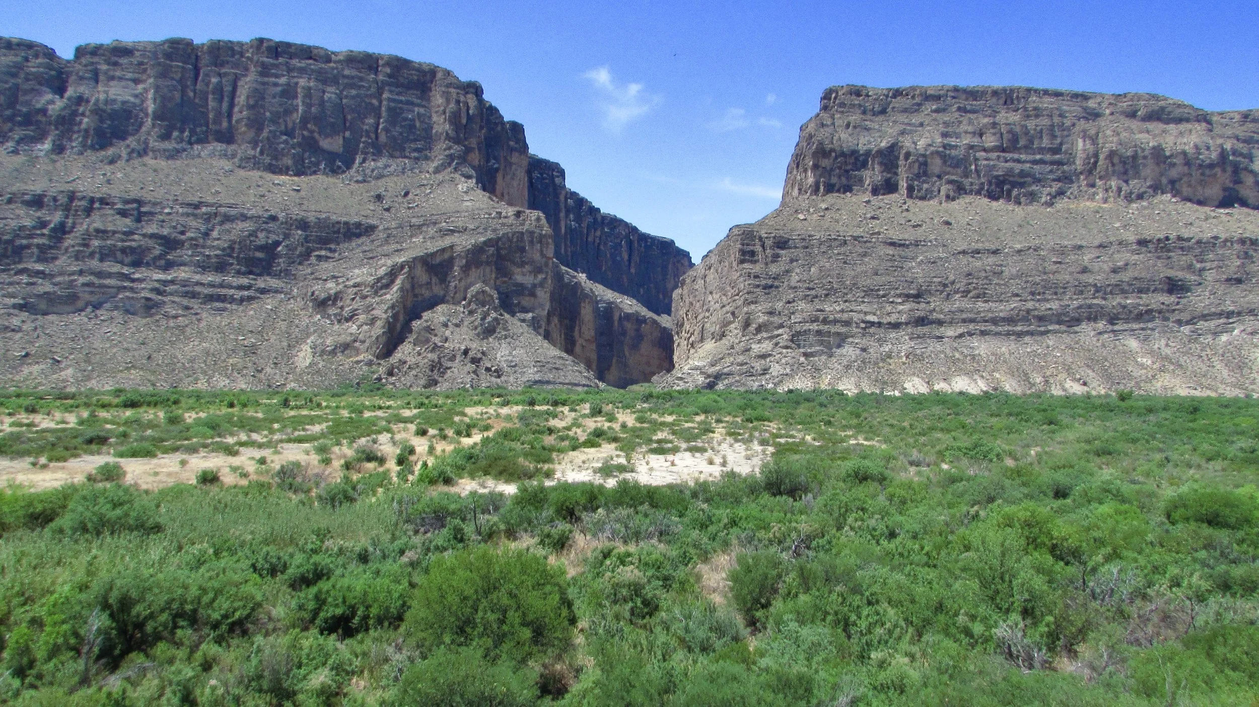
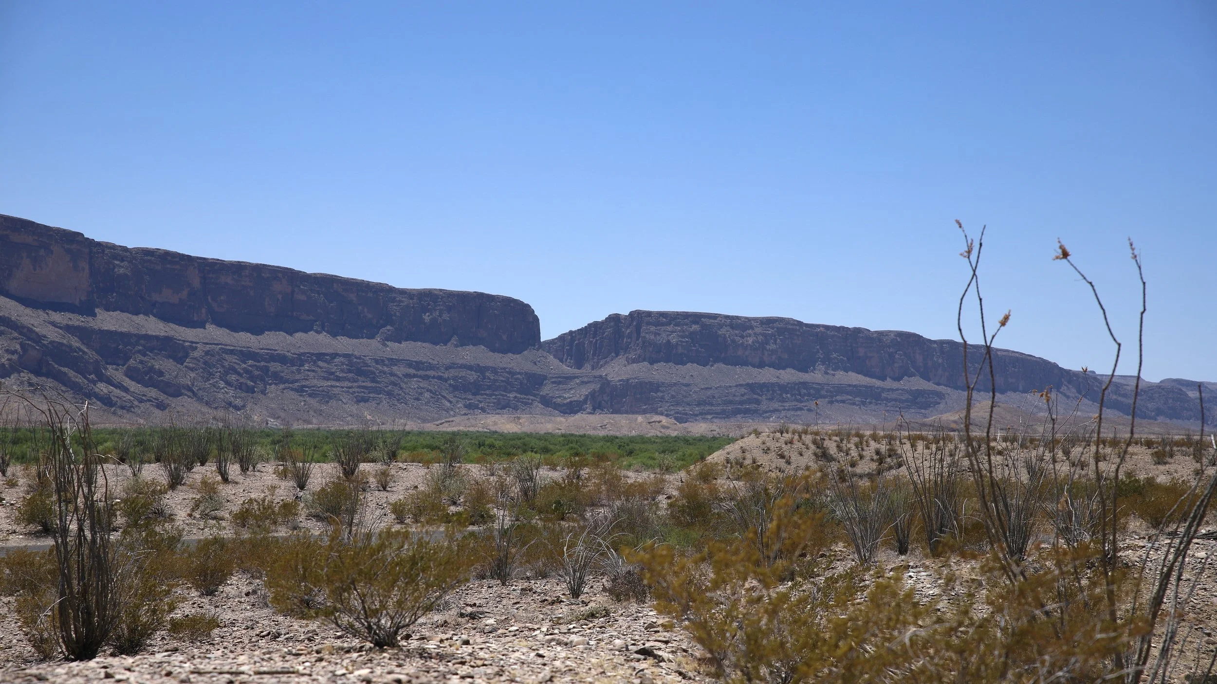
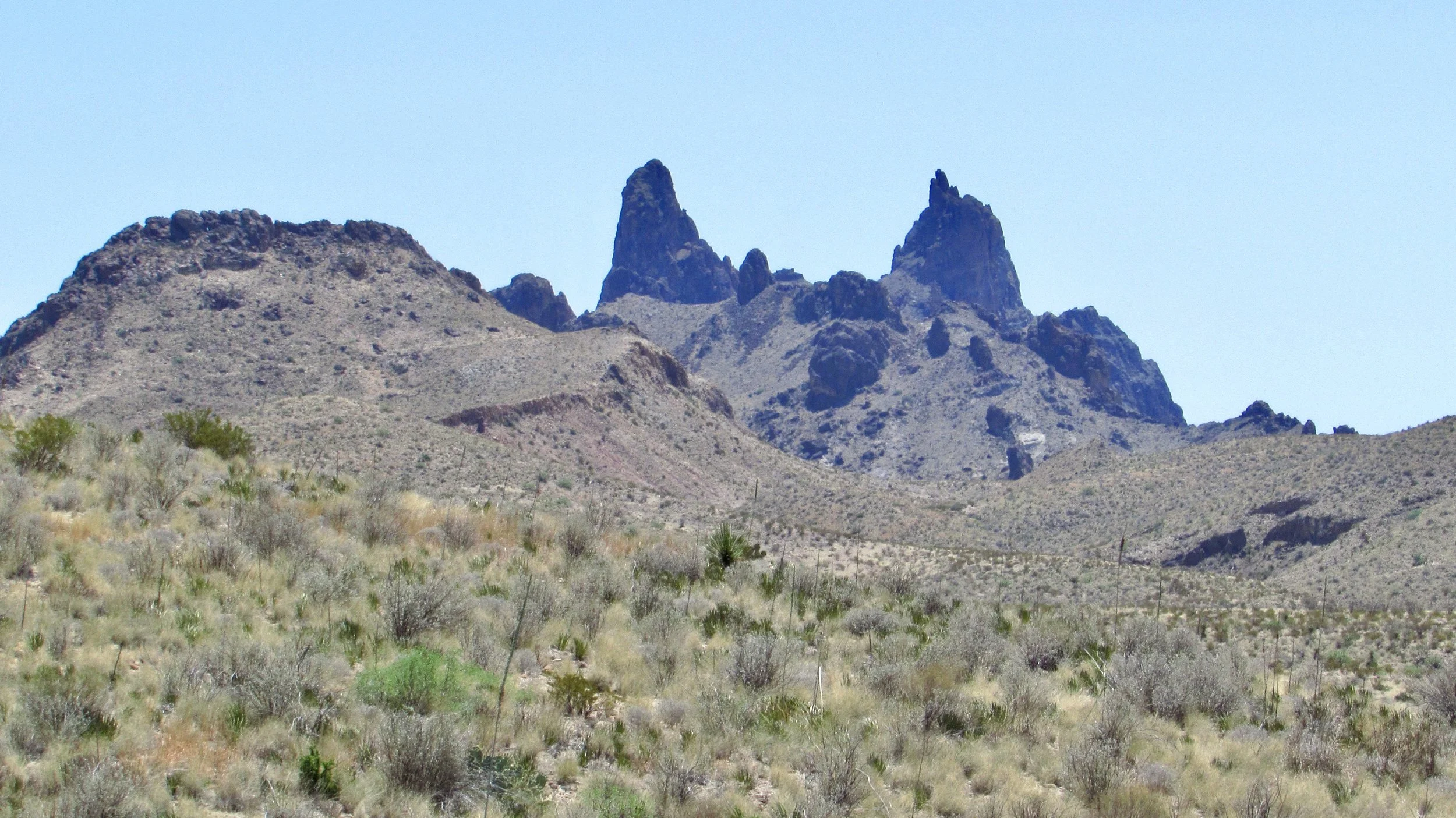
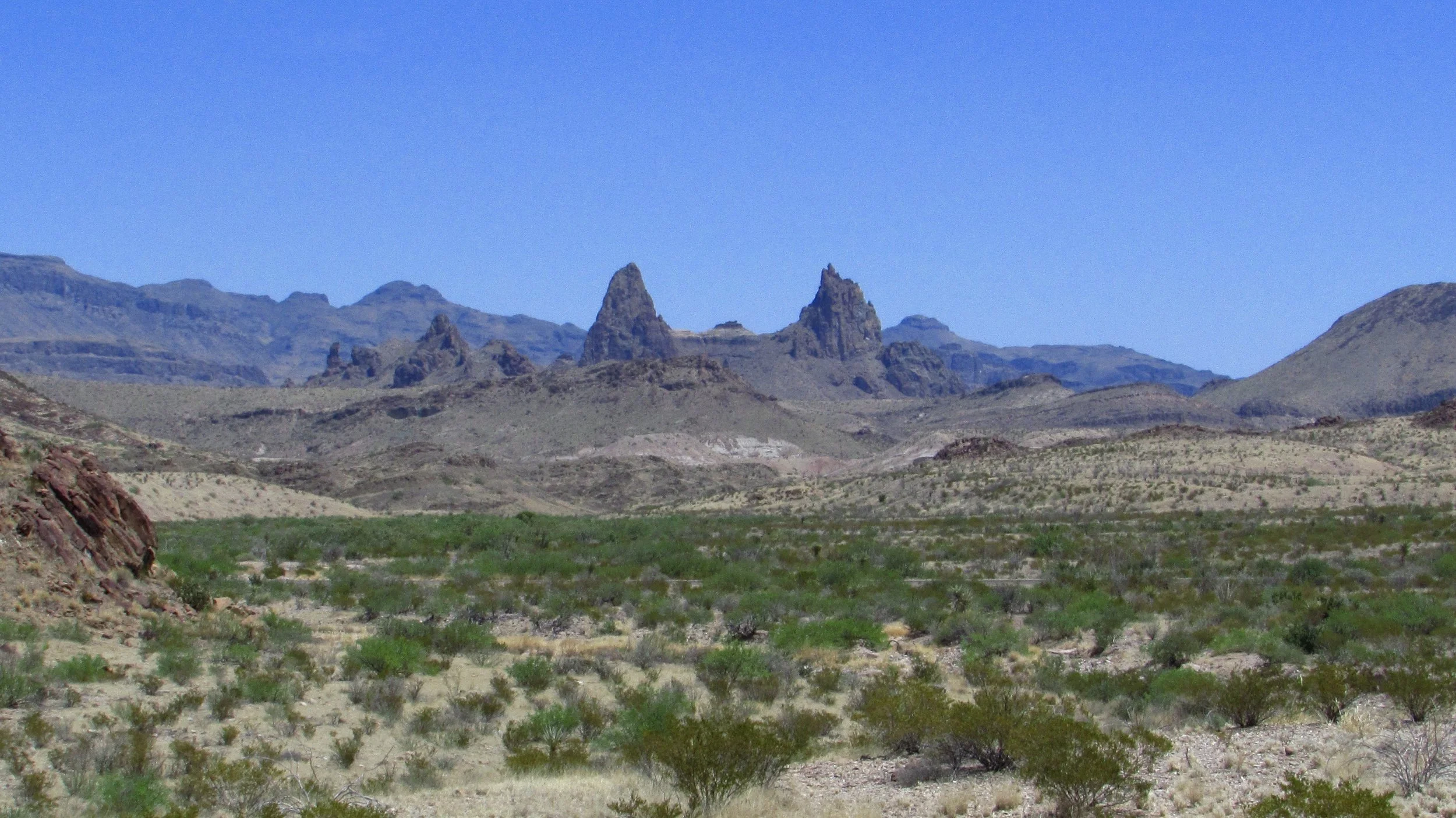
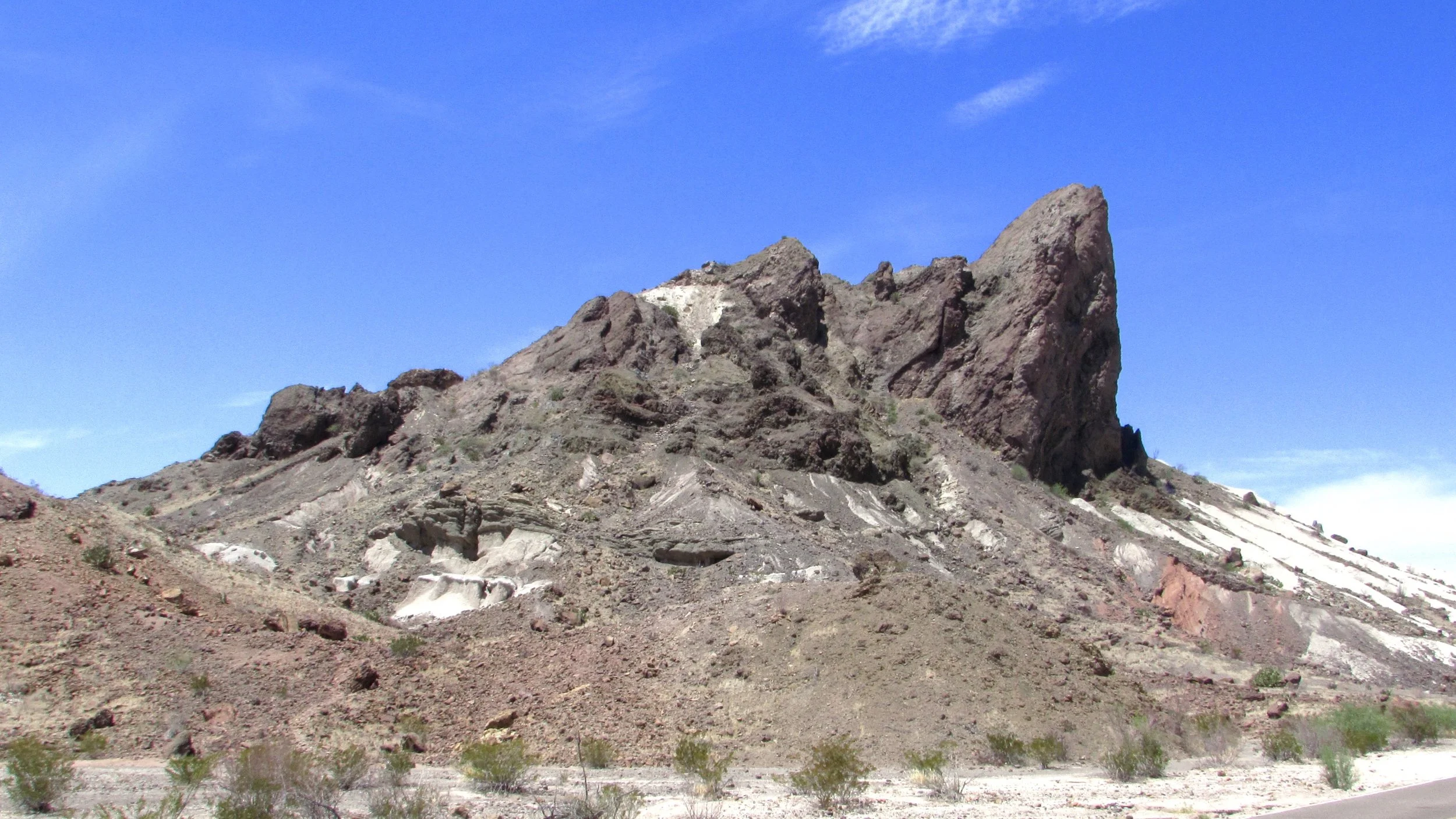
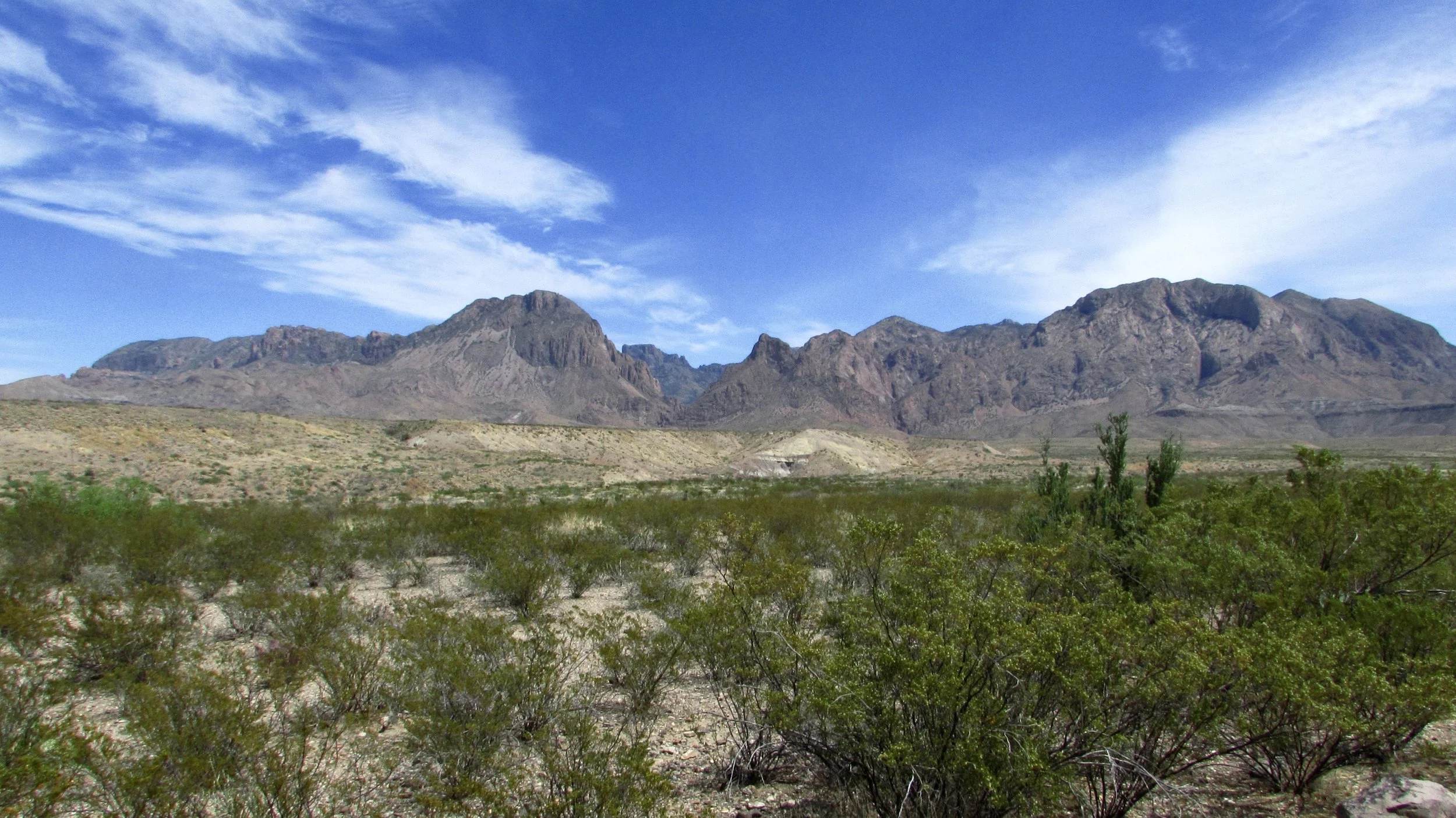
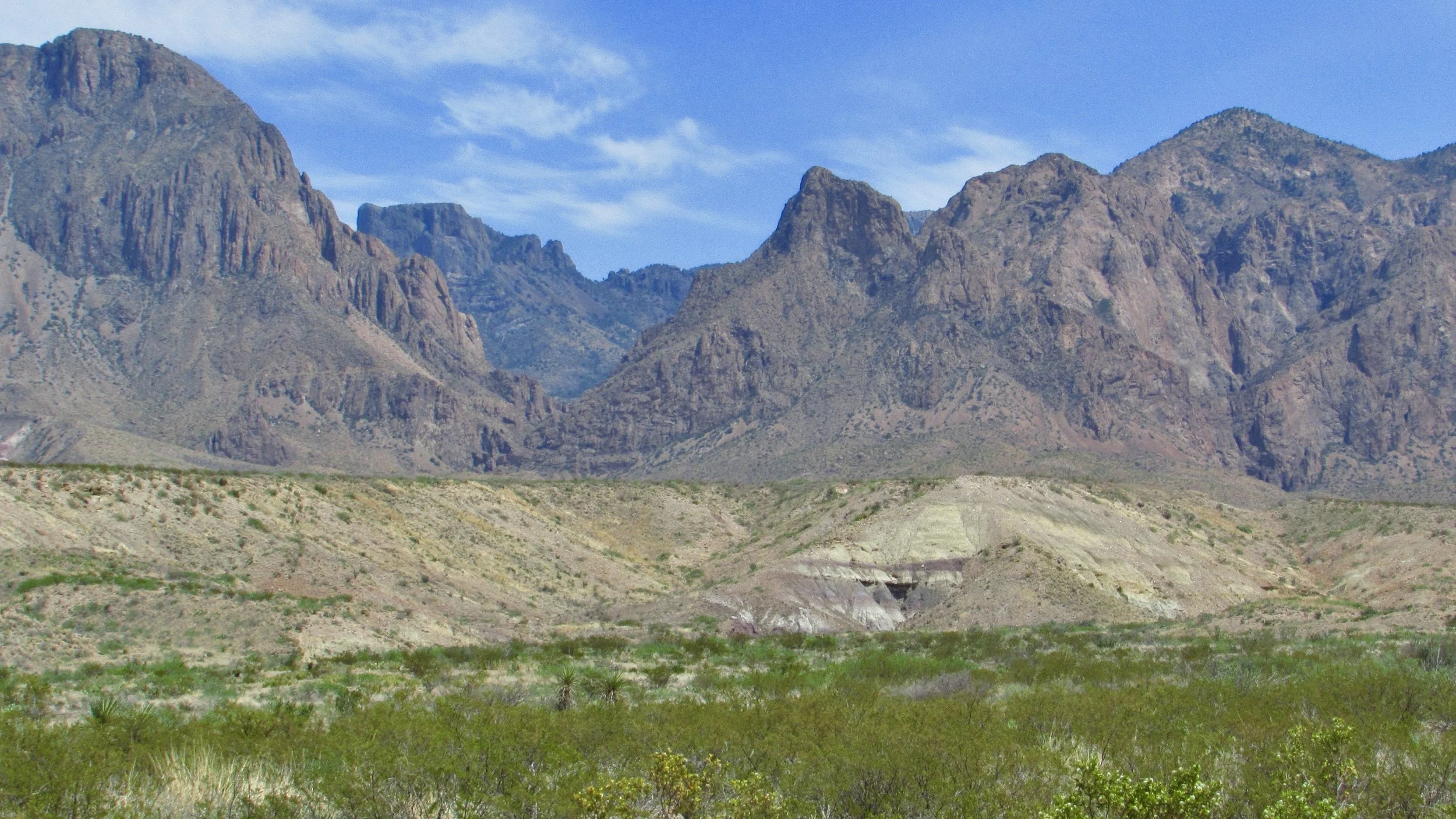
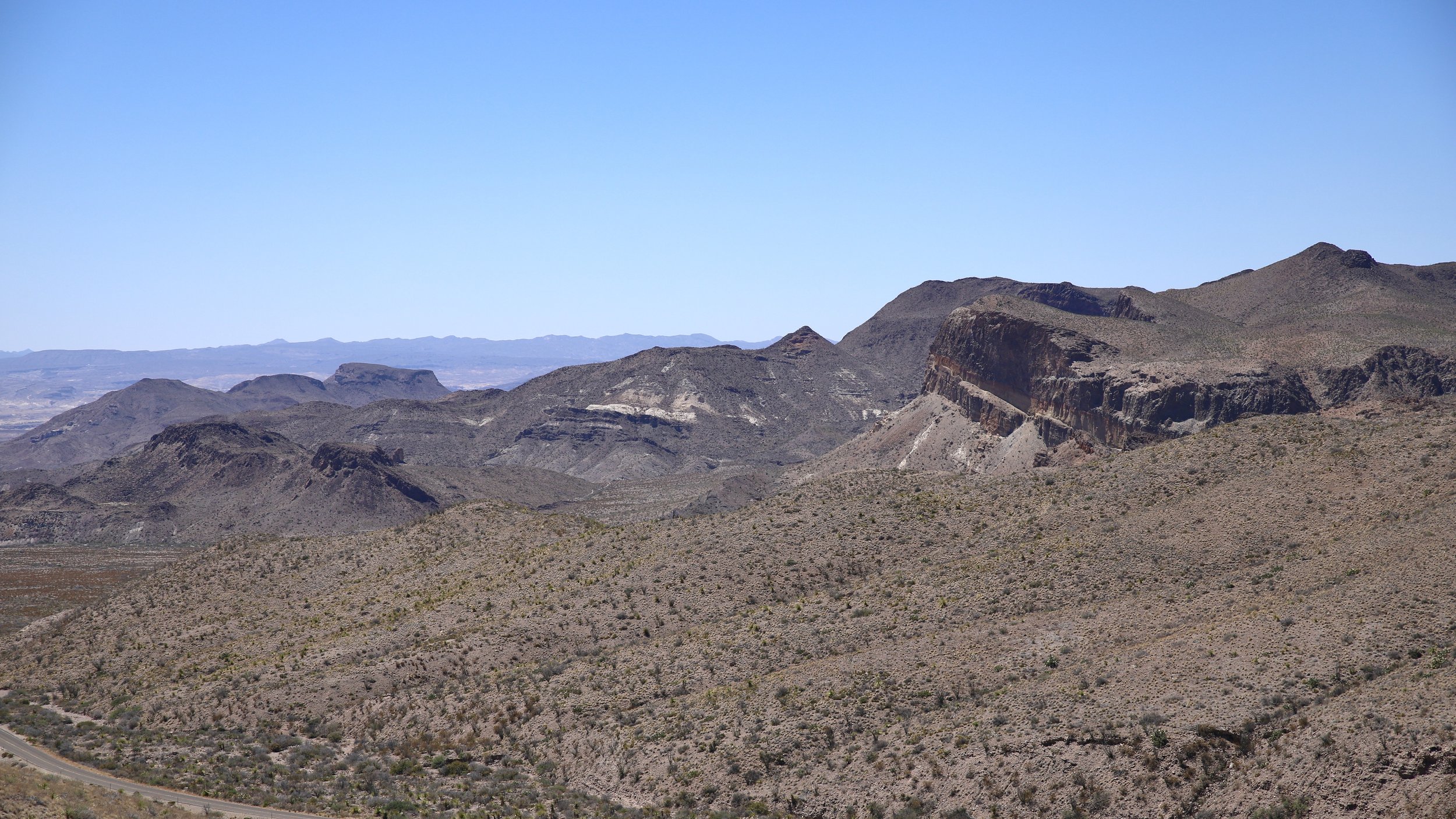
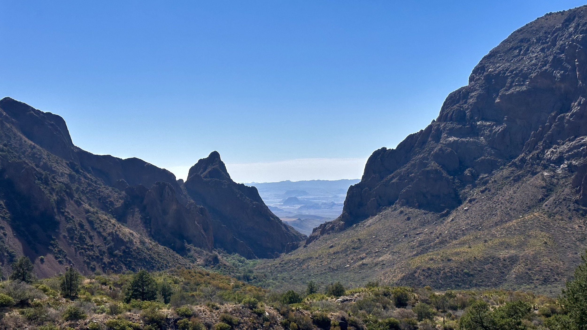
The Ross Maxwell Scenic Drive is 30 miles one-way and it takes you straight down to the gorgeous Santa Elena Canyon and the Rio Grande. Along the way you’ll pass the Burro Mesa Pouroff, Sotol Vista, the old Homer Wilson Ranch, the Mule Ears, Castolon Visitor Center (closed in summer except the store), Cottonwood Campgrounds, the Dorgon House Trail, the Chimneys Trail, and more. It’s a must drive. I enjoy taking it from Santa Elena Canyon to the Main Road since I usually take the Old Maverick Road south to the Canyon. There are a lot of ups and downs and twists and turns on this road so be courteous and let the faster cars get around you. Also, play it safe with the AC on a hot day (most of the year) and roll down your windows to not overheat the engine.
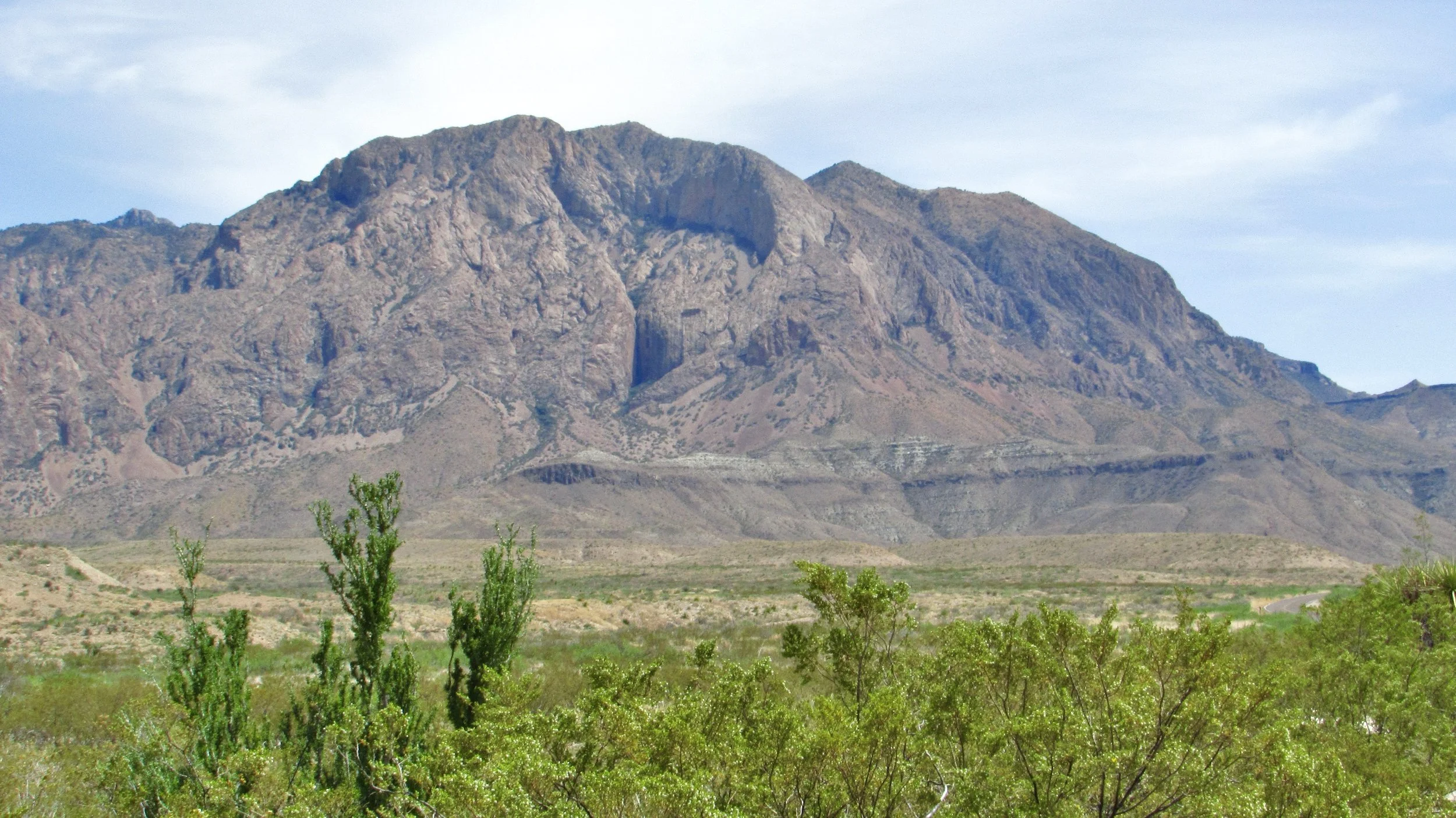
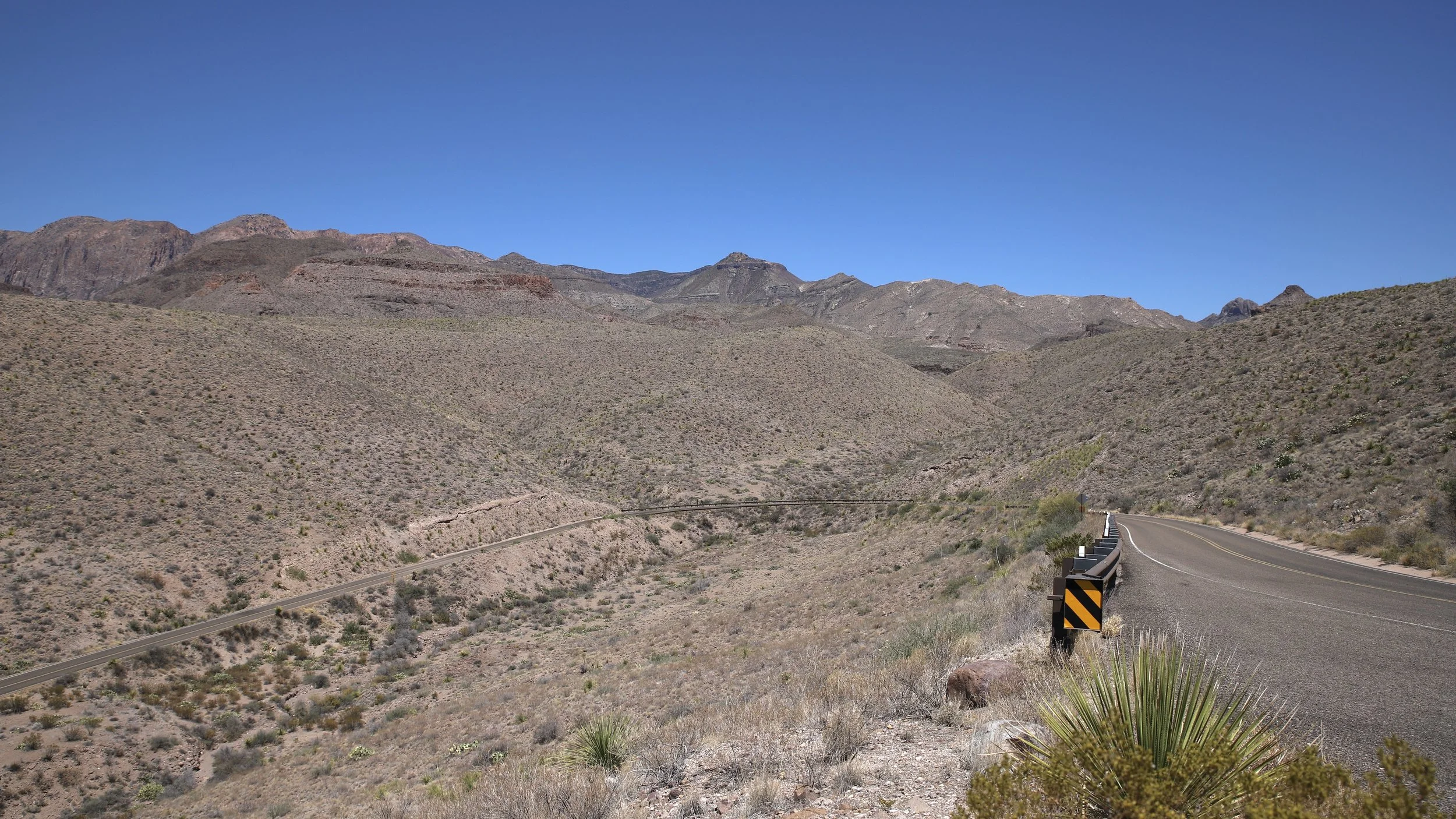
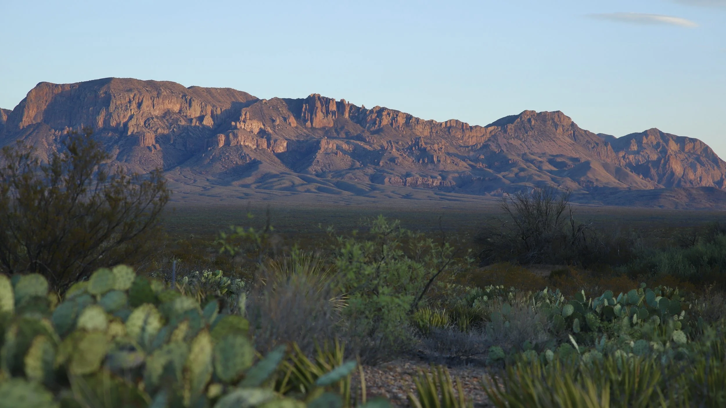
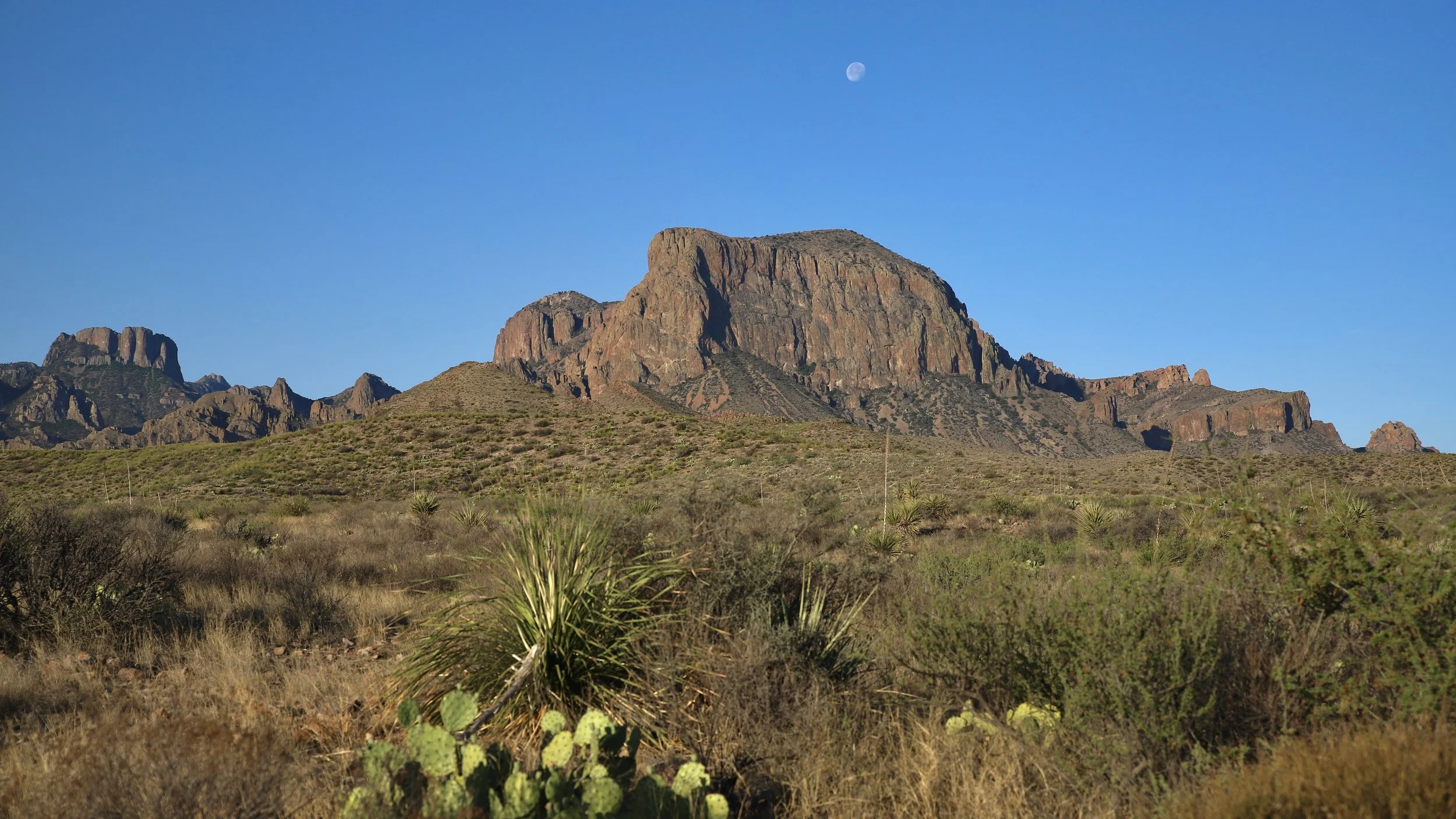
The Chisos Basin Road is a steep 6 miles one-way and it takes you from the hot desert to the less hot Island in the Sky that is the Chisos Mountains of Big Bend. They’re the only mountain range located entirely within a National Park (as of 2024). Up there are amazing hikes like the Lost Mine and the Window. There’s also a delicious restaurant that serves good food and great libations at the Chisos Lodge. There’s a store, a nature walk, and the chance to see Lions, Bears, and more. It’s also where the Chisos Basin Campground is.
The main entry point is the Persimmon Gap entrance and from there to the other main road is a 28 mile stretch that goes from north to south. Along the way you’ll pass the Fossil Discovery Exhibit, Dog Canyon, Dagger Flat Auto Trail, tons of camping, lots of Badlands where they’ve found many an ancient bone, and more.
The eastern part of the road to the Rio Grande Village is 21 miles long and if you’re heading east, the entire thing is downhill. This isn’t a bad thing but remember, that you have to come back up the hill and hot days (over 100°) can be a strain on a very hot car. At the Rio Grande Village you can cross the river (if you have your passport) and head to Mexico to buy some local wares. There’s also Hot Springs, camping, a store, hiking trails, Sierra vistas, and more. This section of the road houses the dirt roads for Pine Canyon camping and Old Ore Road camping as well as K-Bar camping and the Dugout Wells picnic area.